Browse / Croatia / Vukovar-Syrmia / Ilača
Ilača
Vukovar-Syrmiavillage

Ilača
Total population
682
Demographic figures from Croatian Bureau of Statistics. Overview below cites Wikipedia and may reference a different year.
City facts
Facts from Wikidata (CC0).
Overview
Ilača is a village in eastern Croatia, 30 kilometres (19 mi) southeast of Vinkovci. The village is connected with the rest of the country by the D46 state road connecting it with the town of Vinkovci and continuing into Serbia as the State Road 120 to the nearest town of Šid.
Read more on WikipediaHistory & geography
History
The village of Ilača developed from an earlier Sveti Ilija (Saint Eliah) settlement which was mentioned for the first time in 1404. Old village was located about two kilometres north of the contemporary settlement at an low uphill of Vukovar Plateau but following the 1699 Treaty of Karlowitz and the Ottoman retreat villagers moved into the somewhat lower Bosut fields (Spačva basin). In 1736 local census 56 Catholic households were recorded, some of them earlier local inhabitants with others moving in from Bačka, Gorjani, Komletinci, Apševci, Kukujevci and Batrovci.
Excerpted from the corresponding Wikipedia article (CC BY-SA).
Geography
Coordinates & boundaries from the US Census TIGER/Line shapefiles.
Climate
Air quality
Walkability
Amenities nearby
Wildlife & biodiversity
Earthquake history
Photos
Sights & places nearby
Notable people from here


People born within ~10 km, from Wikidata (CC0). Click any name for their Wikipedia article.
Nearby places in Vukovar-Syrmia
- Banovci1.4 mi away · pop. 256
- Berak5.6 mi away · pop. 277
- Donje Novo Selo5.7 mi away · pop. 376
- Podgrađe6.2 mi away · pop. 269
- Opatovac6.6 mi away · pop. 252
- Komletinci7.6 mi away · pop. 1,328
- Lipovac8.8 mi away · pop. 556
- Šarengrad9.8 mi away · pop. 362
- Petrovci10.3 mi away · pop. 643
- Stari Jankovci10.5 mi away · pop. 1,124
- Vukovar12.1 mi away · pop. 22,255
- Privlaka12.6 mi away · pop. 2,192
Geography & sun
Elevation, sunrise/sunset and daylight from Open-Meteo. Solar climatology from NASA POWER.
Nearby airports
Public attention
Pageview totals from the Wikimedia Pageviews API.
Books about this place
Recent natural events nearby
Ground air-quality sensors
Recently spotted species
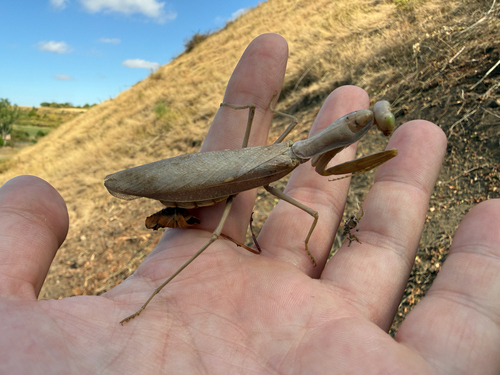
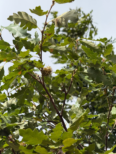
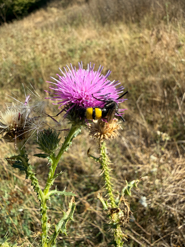

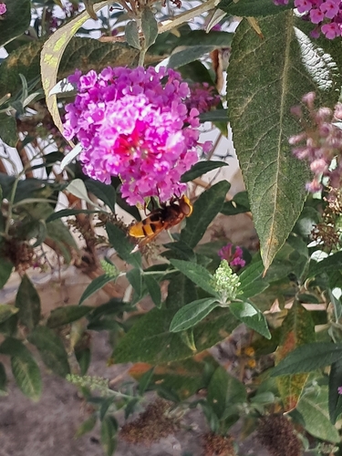
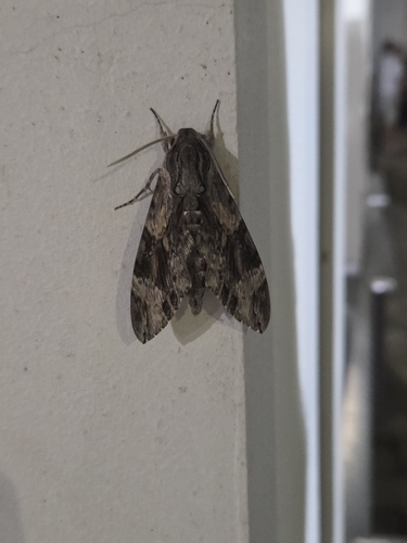
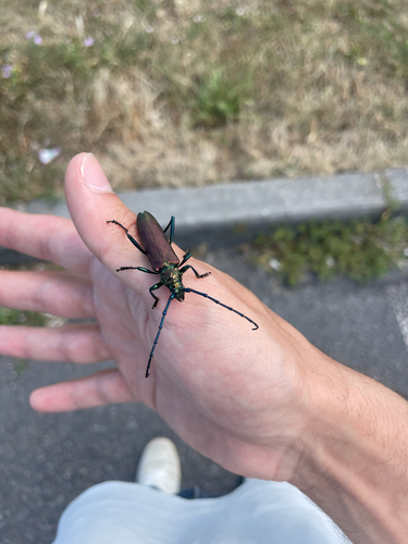
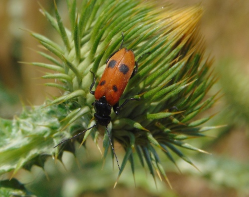
Research-grade observations from iNaturalist (within ~15 mi).
Events
Gallery
Sources
- • Wikipedia
- • Wikidata
- • iNaturalist
- • Open-Meteo / sunrise-sunset.org
- • Wikipedia Pageviews API