Browse / Croatia / Vukovar-Syrmia / Šarengrad
Šarengrad
Vukovar-Syrmiavillage

Šarengrad
Total population
362
Demographic figures from Croatian Bureau of Statistics. Overview below cites Wikipedia and may reference a different year.
City facts
Facts from Wikidata (CC0).
Overview
Šarengrad is a village in eastern Croatia. It is located along the Danube river and is administratively part of Croatian easternmost town of Ilok. Šarengrad is known for its landscape which is dominated by the river and picturesque houses and church tower next to it. Island of Šarengrad is an 9 km2 river island situated close to the village.
Read more on WikipediaHistory & geography
History
Following Ottoman retreat from the region, the Lordship of Vukovar was established, and the village became part of its domain. On 1 March 1974, President of Yugoslavia Josip Broz Tito, accompanied by his wife Jovanka Broz, visited the village of Šarengrad while taking a short holiday in nearby Karađorđevo in Vojvodina on the advice of his doctors. The visit was marked by a warm welcome from the residents.
Geography
The village is located in the Syrmia region, on the Fruška Gora slopes, next to the Danube river.
Excerpted from the corresponding Wikipedia article (CC BY-SA).
Geography
Coordinates & boundaries from the US Census TIGER/Line shapefiles.
Climate
Air quality
Walkability
Amenities nearby
Wildlife & biodiversity
Earthquake history
Photos
Sights & places nearby
Notable people from here


People born within ~10 km, from Wikidata (CC0). Click any name for their Wikipedia article.
Nearby places in Vukovar-Syrmia
- Ilok4.6 mi away · pop. 3,842
- Opatovac5.8 mi away · pop. 252
- Tovarnik7.9 mi away · pop. 1,385
- Tompojevci9.3 mi away · pop. 227
- Sotin9.5 mi away · pop. 597
- Banovci11 mi away · pop. 256
- Vinkovački Banovci12.1 mi away · pop. 117
- Berak13.6 mi away · pop. 277
- Podgrađe15.1 mi away · pop. 269
- Svinjarevci15.4 mi away · pop. 288
- Donje Novo Selo15.4 mi away · pop. 376
- Vukovar15.6 mi away · pop. 22,255
Geography & sun
Elevation, sunrise/sunset and daylight from Open-Meteo. Solar climatology from NASA POWER.
Nearby airports
Public attention
Pageview totals from the Wikimedia Pageviews API.
Books about this place
Recent natural events nearby
Ground air-quality sensors
Recently spotted species

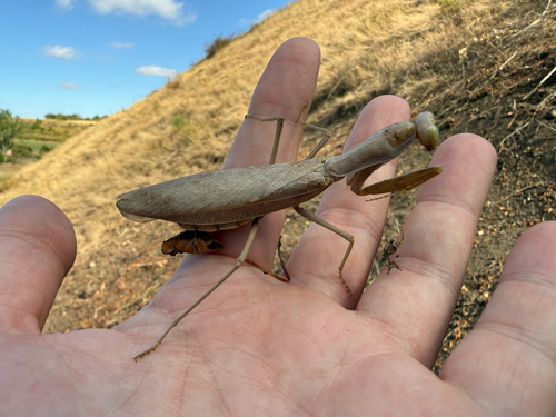
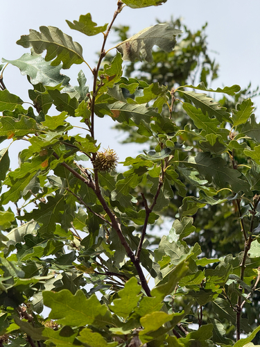
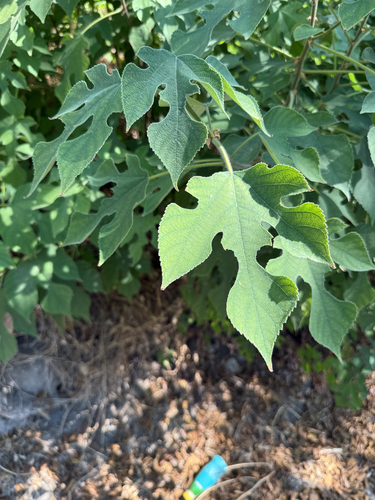


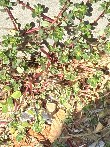
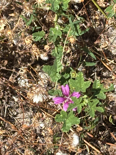
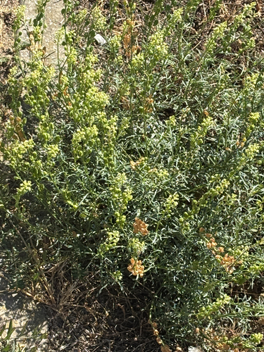
Research-grade observations from iNaturalist (within ~15 mi).
Events
Gallery
Sources
- • Wikipedia
- • Wikidata
- • iNaturalist
- • Open-Meteo / sunrise-sunset.org
- • Wikipedia Pageviews API