Browse / Croatia / Primorje-Gorski Kotar / Kastav
Kastav
Primorje-Gorski Kotartown

Kastav
Total population
10,202
Demographic figures from Croatian Bureau of Statistics. Overview below cites Wikipedia and may reference a different year.
City facts
Sister cities
Facts from Wikidata (CC0).
Overview
Kastav is a town in Primorje-Gorski Kotar County, in western Croatia, built on a 365 m hill overlooking the Kvarner Gulf on the northern coast of the Adriatic. It is near Rijeka, the largest port in Croatia, and the Opatija Riviera, one of the popular tourist destinations in the country.
Read more on WikipediaHistory & geography
History
The history of Kastav dates back to prehistoric times, which is borne out by numerous archaeological finds. A valuable archaeological site is the Illyrian necropolis found in the Mišinci karst valley at the foot of the town. It is where the Iapodes, one of the Illyrian tribes, buried their deceased. Pieces of jewellery, buttons and needle pins were also found. It is not known for sure how Kastav gained its name. Some claim the name to be derived from the Celtic word kast (rock, and others claim it to be derived from the Latin word castellum (fort, castle). Valuable monuments that have been preserved witness the medieval liveliness of the Kastav area. Among them are the town's Kaštel, the Municipal Loggia, the Volta (arched doorway), The Parish Church of Saint Jelena Križarica, Lokvina square, the remains of the Crekvina and the Church of the Holy Trinity and a number of ornaments embedded in the nucleus of the town. Writings in various books witness the town's rich history. Kastav is mentioned in all of the important sources that deal with the history of Croatia, as well as in those that deal with the history of region part of Europe. A 22 December 1939 decision as part of agrarian reforms by Ban Šubašić to confiscate the forest property in Kastav and surroundings of the Thurn and Taxis family, Kálmán Ghyczy and Nikola Petrović resulted in a legal dispute known as the Thurn and Taxis Affair, in part by the relative status of the family and the area's proximity to the Italian border.
Excerpted from the corresponding Wikipedia article (CC BY-SA).
Geography
Coordinates & boundaries from the US Census TIGER/Line shapefiles.
Climate
Air quality
Walkability
Amenities nearby
Wildlife & biodiversity
Earthquake history
Photos
Sights & places nearby
Notable people from here


People born within ~10 km, from Wikidata (CC0). Click any name for their Wikipedia article.
Nearby places in Primorje-Gorski Kotar
- Studena4.3 mi away · pop. 382
- Homer18.5 mi away · pop. 272
- Hlevci28.2 mi away · pop. 17
- Tići32.8 mi away · pop. 48
- Zarnevo649.2 mi away · pop. 1,300
- Azinhal1256.7 mi away · pop. 271
- Vaqueiros1265.1 mi away · pop. 58
- Cabanas de Tavira1268.6 mi away
- Santo Estêvão1274.3 mi away
- Moncarapacho1279.2 mi away · pop. 1,192
- Quelfes1281.8 mi away
- Souissifa1283.9 mi away
Geography & sun
Elevation, sunrise/sunset and daylight from Open-Meteo. Solar climatology from NASA POWER.
Nearby airports
Public attention
Pageview totals from the Wikimedia Pageviews API.
Books about this place
Recent natural events nearby
Ground air-quality sensors
Recently spotted species
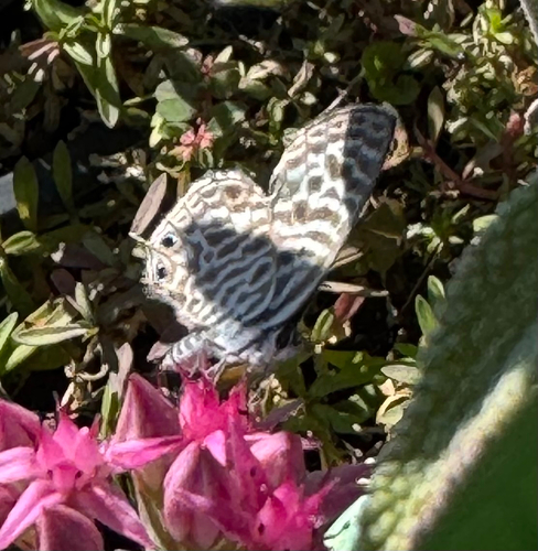
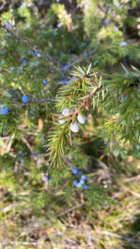
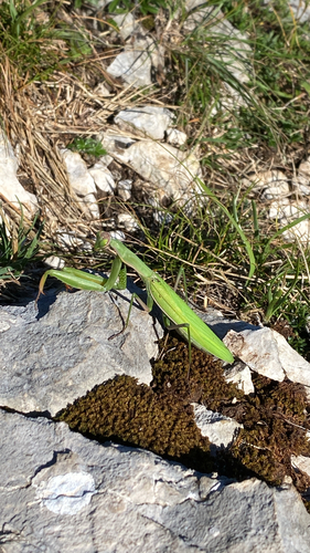
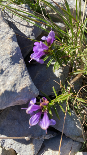
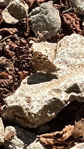
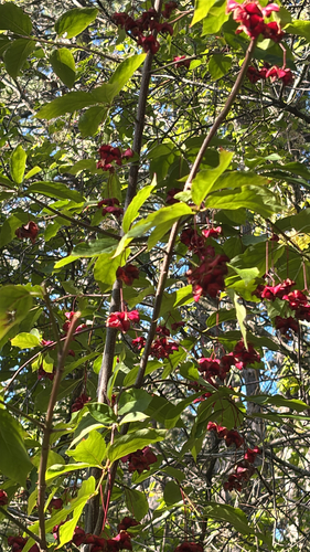
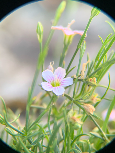
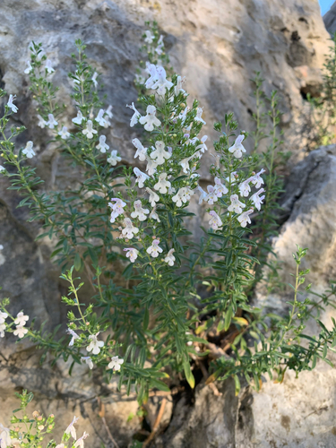
Research-grade observations from iNaturalist (within ~15 mi).
Events
Gallery
Sources
- • Wikipedia
- • Wikidata
- • iNaturalist
- • Open-Meteo / sunrise-sunset.org
- • Wikipedia Pageviews API