Browse / Croatia / Dubrovnik-Neretva / Komolac
Komolac
Dubrovnik-Neretvavillage

Featured view
Komolac
Land area2.2 km²
Coordinates42.67°, 18.13°
Demographic figures from Croatian Bureau of Statistics. Overview below cites Wikipedia and may reference a different year.
Loading additional data from public sources…0 / 11
CensusWikipediaWeatherPlacesPeopleEnvironmentHealth & SchoolsRelatedGeography & CultureLive MonitoringEvents & Gallery
0% completeCity facts
Area
2.2 km²
Facts from Wikidata (CC0).
Overview
Komolac is one of two city districts Dubrovnik, Croatia, which are located in the region of Rijeka Dubrovacka. It includes the populated places of Komolac, Rozat, Prijevor and Sumet.
Read more on WikipediaHistory & geography
Geography
Latitude
42.6695
Longitude
18.1336
Water area
—
Coordinates & boundaries from the US Census TIGER/Line shapefiles.
Climate
Air quality
Walkability
Amenities nearby
Wildlife & biodiversity
Earthquake history
Photos
Sights & places nearby
Notable people from here
Nearby places in Dubrovnik-Neretva
- Čajkovica0.4 mi away · pop. 192
- Prijevor0.7 mi away · pop. 453
- Knežica1.1 mi away · pop. 133
- Donje Obuljeno1.3 mi away · pop. 243
- Nova Mokošica1.3 mi away · pop. 5,682
- Gornje Obuljeno1.5 mi away · pop. 141
- Šumet1.7 mi away · pop. 176
- Bosanka1.8 mi away · pop. 139
- Mokošica2 mi away · pop. 2,193
- Sustjepan2 mi away · pop. 323
- Gornji Brgat2.2 mi away · pop. 199
- Donji Brgat2.4 mi away · pop. 152
Geography & sun
Avg solar (kWh/m²/day)
4.22
Annual solar (kWh/m²)
1,539
Elevation, sunrise/sunset and daylight from Open-Meteo. Solar climatology from NASA POWER.
Nearby airports
Public attention
Wikipedia views (last 30 days)
95
Avg daily Wikipedia views
3
Attention level
Obscure
Pageview totals from the Wikimedia Pageviews API.
Books about this place
Recent natural events nearby
Ground air-quality sensors
Recently spotted species
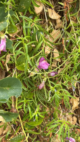
greater snapdragon
Antirrhinum tortuosum
Seen 2026-09-25
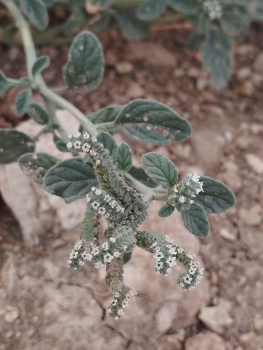
European heliotrope
Heliotropium europaeum
Seen 2026-09-24
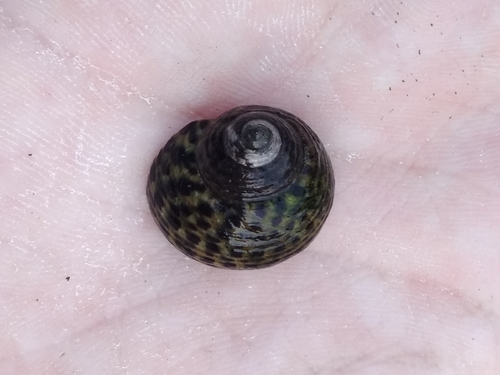
Turbinate Monodont
Phorcus turbinatus
Seen 2026-09-24
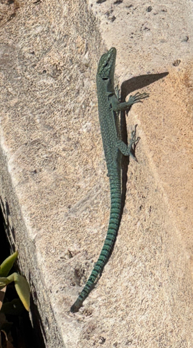
Sharp-snouted Rock Lizard
Dalmatolacerta oxycephala
Seen 2026-09-24
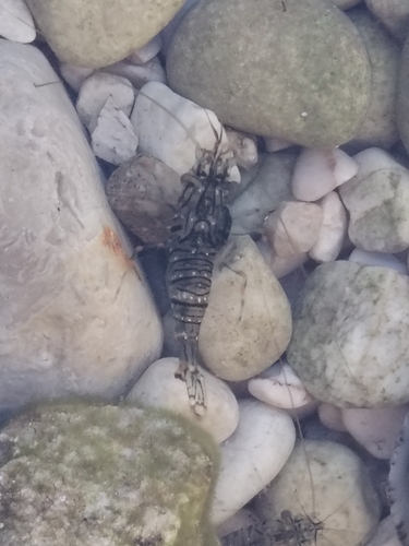
Rockpool Prawn
Palaemon elegans
Seen 2026-09-24
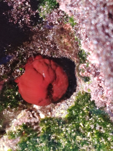
Mediterranean Beadlet Anemone
Actinia mediterranea
Seen 2026-09-24
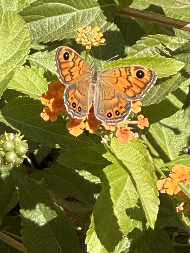
Wall Brown
Lasiommata megera
Seen 2026-09-23
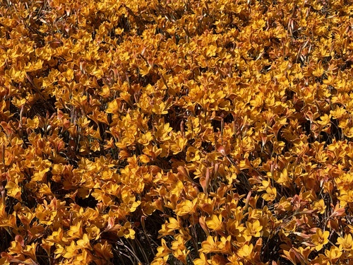
Rio Grande copper lily
Zephyranthes tubispatha
Seen 2026-09-23
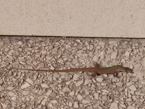
Dalmatian Wall Lizard
Podarcis melisellensis
Seen 2026-09-21
Research-grade observations from iNaturalist (within ~15 mi).
Events
Gallery
Sources
- • Wikipedia
- • Wikidata
- • iNaturalist
- • Open-Meteo / sunrise-sunset.org
- • Wikipedia Pageviews API