Browse / Croatia / Zadar / Kula Atlagić
Kula Atlagić
Zadarvillage
Total population
184
Demographic figures from Croatian Bureau of Statistics. Overview below cites Wikipedia and may reference a different year.
City facts
Facts from Wikidata (CC0).
Overview
Kula Atlagić, also known as Kula Atlagića, is a settlement in the Benkovac municipality, in the Zadar County in Croatia. It is located in the Ravni Kotari region of Dalmatia.
Read more on WikipediaHistory & geography
History
The settlement initially consisted of two former villages, Tiklić or Tihlić and Bojište. The first was an estate of the old Croatian noble family of Lapčani and Karinjani. It received its current name in the 17th century from the feudal family Atlagić, which during the Ottoman period built a tower house (kula). During the Croatian War (1991–95) the settlement was part of the Republic of Serbian Krajina.
Geography
Administratively part of the Benkovac municipality in the Zadar County, it is geographically located in the Ravni Kotari region of Dalmatia, in the central part of the country.
Excerpted from the corresponding Wikipedia article (CC BY-SA).
Geography
Coordinates & boundaries from the US Census TIGER/Line shapefiles.
Climate
Air quality
Walkability
Amenities nearby
Wildlife & biodiversity
Earthquake history
Photos
Sights & places nearby
Notable people from here


People born within ~10 km, from Wikidata (CC0). Click any name for their Wikipedia article.
Nearby places in Zadar
- Benkovačko Selo1.2 mi away · pop. 789
- Benkovac1.7 mi away · pop. 2,484
- Buković2.7 mi away · pop. 526
- Raštević3 mi away · pop. 468
- Korlat3 mi away · pop. 353
- Podlug3.2 mi away · pop. 177
- Zapužane3.3 mi away · pop. 56
- Perušić Benkovački3.5 mi away · pop. 153
- Miranje4 mi away · pop. 303
- Podgrađe4.2 mi away · pop. 87
- Gornja Jagodnja4.2 mi away · pop. 85
- Zagrad4.4 mi away · pop. 85
Geography & sun
Elevation, sunrise/sunset and daylight from Open-Meteo. Solar climatology from NASA POWER.
Nearby airports
Public attention
Pageview totals from the Wikimedia Pageviews API.
Books about this place
Recent natural events nearby
Ground air-quality sensors
Recently spotted species
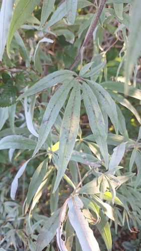
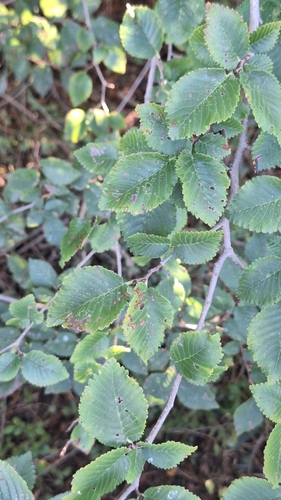
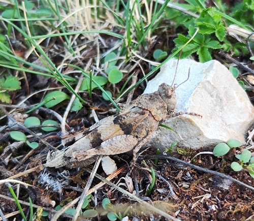
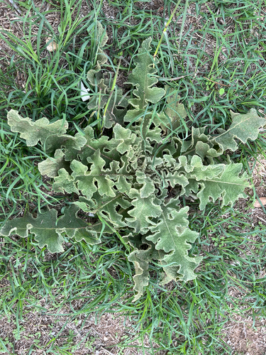
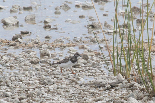
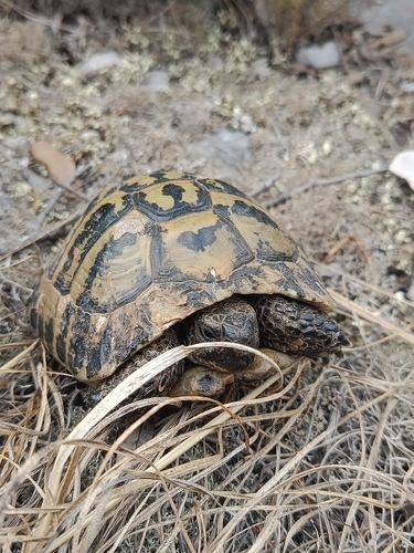
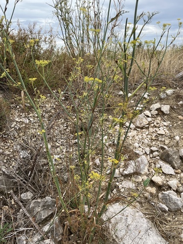
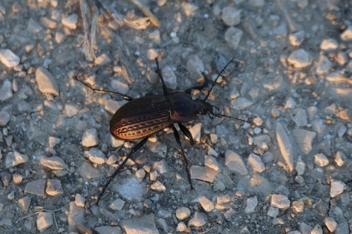
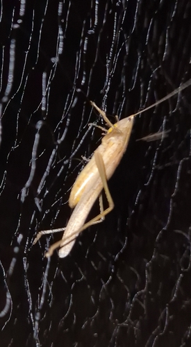
Research-grade observations from iNaturalist (within ~15 mi).
Events
Gallery
Sources
- • Wikipedia
- • Wikidata
- • iNaturalist
- • Open-Meteo / sunrise-sunset.org
- • Wikipedia Pageviews API