Browse / Croatia / Primorje-Gorski Kotar / Lič
Lič
Primorje-Gorski Kotarvillage

Lič
Total population
504
Demographic figures from Croatian Bureau of Statistics. Overview below cites Wikipedia and may reference a different year.
City facts
Facts from Wikidata (CC0).
Overview
Lič is a village in Primorje-Gorski Kotar, western Croatia. It is located 2 km to the south of Fužine, which it is also a part of administratively. As of 2021, it had a population of 446. Lič is located not far from Viševica mountain and Lake Bajer. The village is connected by the M202 railway.
Read more on WikipediaHistory & geography
History
The volunteer fire department DVD Vrata was founded in 1933, and is today part of the VZ općine Fužine. Its current commander is Dino Polić. On 17 June between Fužine and Lič, about 40 Partisans dressed in Ustaša uniforms but with Partisan caps carried out a rifle attack on a train travelling from Plasa to Delnice. 9 railway workers jumped out and dispersed into the forest, but the conductor Aleksander Španer of Hrvatske Moravice was heavily wounded, receiving first aid in Lič. The Partisans then attacked the railway guard station 420, which completely burned down. On 21 April 2023 at 10:10 the JVP Delnice received a call about a hallway fire in Lič. One person was injured. it was put out at 12:00 by JVP Delnice, DVD Lič and DVD Vrata. On 21 March 2024 at 14:50 the ŽVOC Rijeka received a call about a wildfire in the area. burned by the time it was put out at 16:45 by DVD Lič.
Excerpted from the corresponding Wikipedia article (CC BY-SA).
Geography
Coordinates & boundaries from the US Census TIGER/Line shapefiles.
Climate
Air quality
Walkability
Amenities nearby
Wildlife & biodiversity
Earthquake history
Photos
Sights & places nearby
Notable people from here
Nearby places in Primorje-Gorski Kotar
- Homer5.7 mi away · pop. 272
- Hlevci13 mi away · pop. 17
- Tići17.4 mi away · pop. 48
- Studena18.9 mi away · pop. 382
- Zarnevo630.6 mi away · pop. 1,300
- Azinhal1271.8 mi away · pop. 271
- Vaqueiros1280.3 mi away · pop. 58
- Cabanas de Tavira1283.6 mi away
- Santo Estêvão1289.3 mi away
- Souissifa1293.5 mi away
- Moncarapacho1294.3 mi away · pop. 1,192
- Quelfes1296.8 mi away
Geography & sun
Elevation, sunrise/sunset and daylight from Open-Meteo. Solar climatology from NASA POWER.
Nearby airports
Public attention
Pageview totals from the Wikimedia Pageviews API.
Books about this place
Recent natural events nearby
Ground air-quality sensors
Recently spotted species
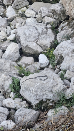
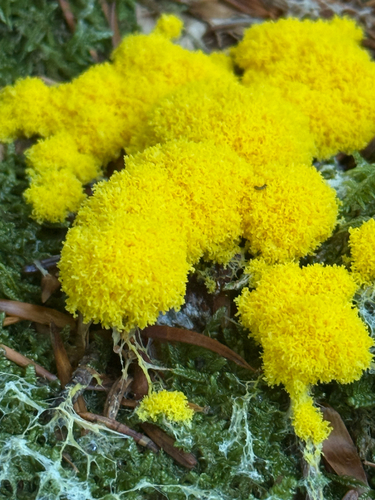
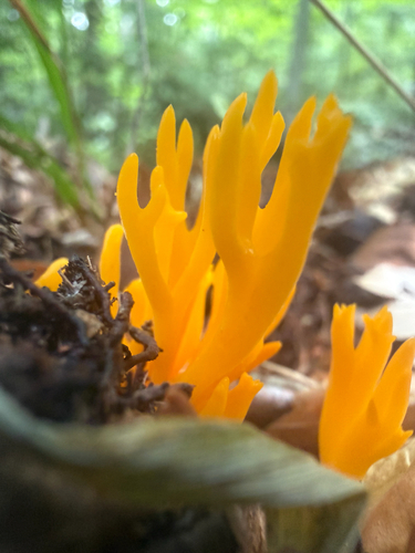
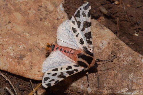
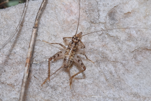
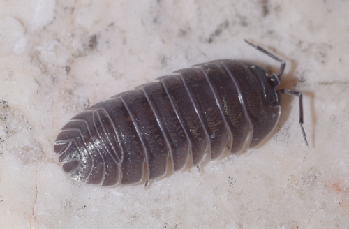
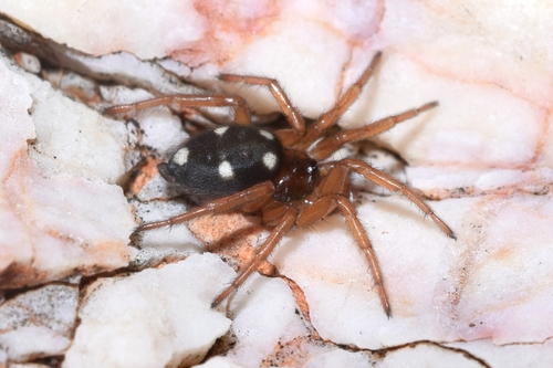
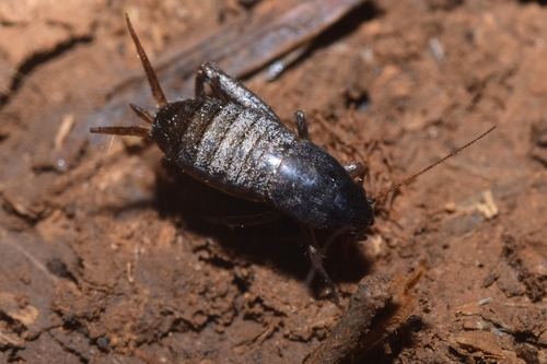
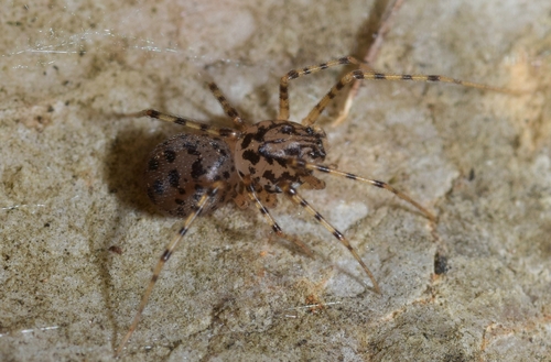
Research-grade observations from iNaturalist (within ~15 mi).
Events
Gallery
Sources
- • Wikipedia
- • Wikidata
- • iNaturalist
- • Open-Meteo / sunrise-sunset.org
- • Wikipedia Pageviews API