Browse / Croatia / Primorje-Gorski Kotar / Mali Lošinj
Mali Lošinj
Primorje-Gorski Kotartown

Mali Lošinj
Total population
5,561
Demographic figures from Croatian Bureau of Statistics. Overview below cites Wikipedia and may reference a different year.
City facts
Sister cities
Facts from Wikidata (CC0).
Overview
Mali Lošinj is a town in the Primorje-Gorski Kotar County, on the island of Lošinj, in western Croatia. At the time of the 2021 census, there were 7,537 inhabitants, of whom 86% were Croats. The town of Mali Lošinj itself had an urban population of 5,561.
Read more on WikipediaHistory & geography
History
The town was first mentioned in 1398, under the name Malo selo ("small village"). In 1868, it experienced its golden year. There were as many as eleven shipyards, and it became the place with the largest and most developed merchant marine in the Adriatic Sea, even ahead of cities like Rijeka, Trieste and Venice. American author Kenneth Roberts observed that the little town, like some in southern Maine, seemed to have "produced a hundred seamen for each one produced elsewhere." Writing in 1938, Roberts said there were currently "four hundred sea captains living on Lussinpiccolo, which is about the size of Monhegan Island- captains of all sorts of vessels, from thirty thousand ton liners to hundred ton merchant brigs." With the invention of the steam engine a stagnation in development ensued, and with the outbreak of the grapevine disease peronospora. Previously part of the Venetian Republic, Mali Lošinj passed under Austrian-Hungarian rule in 1797 with the Treaty of Campo Formio. The isle remained under Austrian-Hungarian rule until 1918. After World War I, under the provisions of the Treaty of Rapallo it was given to the Kingdom of Italy. In 1947, it was incorporated into Yugoslavia. Its incorporation into socialist Yugoslavia led to mass emigration of its Italian population. After World War II there were only 2,200 residents left. In 1991, it became part of present-day Croatia. In the summer of 2019, the fire department JVP Grada Mali Lošinj saved a young caver who was stuck 10 below ground in a cave near Srem, a hamlet of Belej.
Excerpted from the corresponding Wikipedia article (CC BY-SA).
Geography
Coordinates & boundaries from the US Census TIGER/Line shapefiles.
Climate
Air quality
Walkability
Amenities nearby
Wildlife & biodiversity
Most-observed species
- Dalmatian Wall LizardPodarcis melisellensis (Braun, 1877) · Squamata168
- Mastic TreePistacia lentiscus L. · Magnoliopsida135
- Yellow-legged GullLarus michahellis J.F.Naumann, 1840 · Aves117
- MyrtleMyrtus communis L. · Magnoliopsida105
- European ShagPhalacrocorax aristotelis (Linnaeus, 1761) · Aves94
- Common SmilaxSmilax aspera L. · Liliopsida77
- Barn SwallowHirundo rustica Linnaeus, 1758 · Aves75
- Rock SamphireCrithmum maritimum L. · Magnoliopsida73
Citizen-science & research observations from the Global Biodiversity Information Facility (GBIF).
Earthquake history
Most recent
- M 4.6 — 2025-02-115 km NE of Starigrad, Croatia
- M 4.7 — 2023-02-163 km W of Baška, Croatia
- M 4.6 — 2020-11-012 km NE of Starigrad, Croatia
- M 3.5 — 2020-05-133 km NE of Crikvenica, Croatia
- M 4 — 2017-08-083 km SSW of Jadranovo, Croatia
- M 3.3 — 2016-05-088 km NNE of Oto?ac, Croatia
Events from the USGS Earthquake Catalog (global) (FDSN Event Web Service).
Photos
Sights & places nearby
Notable people from here


People born within ~10 km, from Wikidata (CC0). Click any name for their Wikipedia article.
Nearby places in Primorje-Gorski Kotar
- Sveti Jakov8.4 mi away · pop. 77
- Unije13.1 mi away · pop. 88
- Vrana21.3 mi away · pop. 12
- Lopar24.3 mi away · pop. 1,263
- Cres29.8 mi away · pop. 2,185
- Draga Bašćanska34.1 mi away · pop. 253
- Vrh35.9 mi away · pop. 846
- Vrbnik38.9 mi away · pop. 948
- Omišalj47.1 mi away · pop. 1,868
- Mošćenice49.2 mi away · pop. 301
- Kraj50.9 mi away · pop. 98
- Lovran53.4 mi away · pop. 3,336
Geography & sun
Elevation, sunrise/sunset and daylight from Open-Meteo. Solar climatology from NASA POWER.
Nearby airports
Public attention
Pageview totals from the Wikimedia Pageviews API.
Books about this place
Recent natural events nearby
Ground air-quality sensors
Recently spotted species
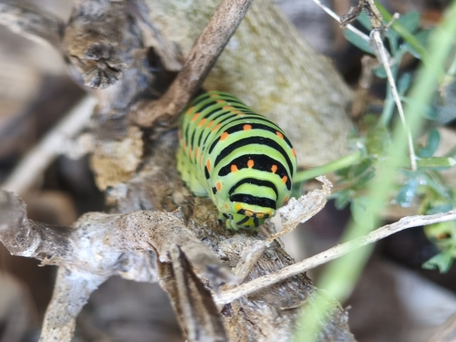
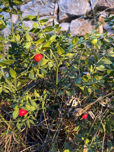
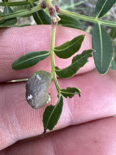
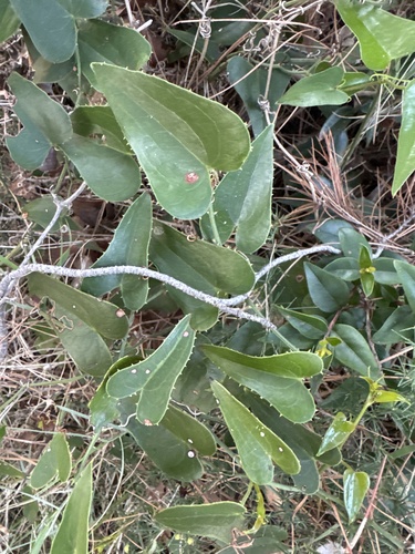
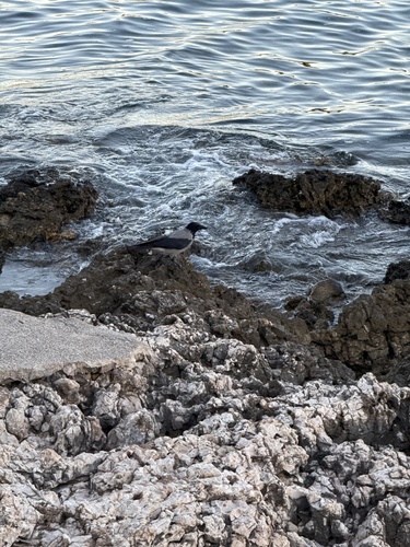
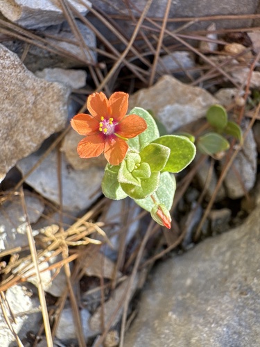
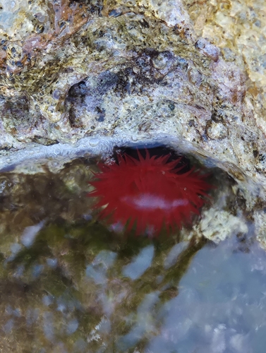
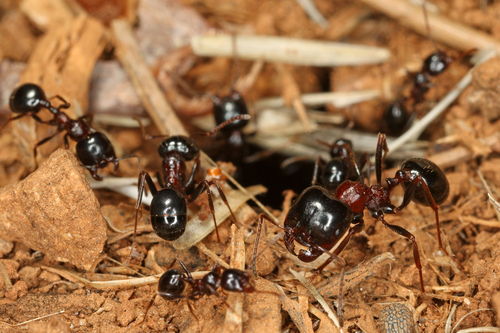
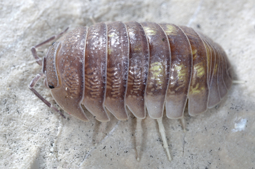
Research-grade observations from iNaturalist (within ~15 mi).
Events
Gallery
Sources
- • Wikipedia
- • Wikidata
- • USGS Earthquake Catalog (global feed)
- • GBIF (Global Biodiversity Information Facility)
- • iNaturalist
- • Open-Meteo / sunrise-sunset.org
- • Wikipedia Pageviews API