Browse / Croatia / Vukovar-Syrmia / Mikluševci
Mikluševci
Vukovar-Syrmiavillage

Mikluševci
Total population
265
Demographic figures from Croatian Bureau of Statistics. Overview below cites Wikipedia and may reference a different year.
City facts
Overview
Mikluševci is a village in Croatia.
Read more on WikipediaHistory & geography
History
It is assumed, but there are no preserved documents, that Mikluševci existed as an independent noble estate before Turkish rule. Mikluševci were under Turkish rule between 1526 and 1691, when all villages from this area were displaced. After liberation from the Turks, Orthodox Vlachs settled in Mikluševci first, after 1700, and later refugees from Baranja, and in the middle of the 19th century, Ruthenians. According to the population census from 1880, Mikluševci had 712 inhabitants, of which 467 were Greek Catholics, 227 Orthodox, 11 Roman Catholics and 7 Jews. During the Croatian War of Independence, the Croatian Serb forces captured the village on 8 October 1991. Following the capture of the village, a family of three was killed by the Croatian Serb forces in the nearby Jelaš Forest, and 92 were expelled. A total of 35 persons were charged with the killings in 1996 by Croatian authorities in Osijek. By 2009, when the trial had concluded, eleven defendants died, and charges against ten were dropped. Twelve were convicted to prison sentences ranging from four to fifteen years and two were acquitted. Most of the defendants were tried in absentia—only three defendants were present at the sentencing. Image:Eastern Catholic Church in Mikluševci Миклошевци.JPG|Greek Catholic Church of the Nativity of the Theotokos, Mikluševci Image:Oil station in Mikluševci Миклошевци.JPG|Oil station Image:Eastern Orthodox Cemetery in Mikluševci Миклошевци.JPG|Eastern Orthodox Cemetery Image:WWII monument in Mikluševci Миклошевци.JPG|World War II monument Image:Serbian Orthodox Church in Mikluševci Миклошевци.JPG|Serbian Orthodox Church of St. Nicholas, Mikluševci
Excerpted from the corresponding Wikipedia article (CC BY-SA).
Geography
Coordinates & boundaries from the US Census TIGER/Line shapefiles.
Climate
Air quality
Walkability
Amenities nearby
Wildlife & biodiversity
Earthquake history
Photos
Sights & places nearby
Notable people from here
Nearby places in Vukovar-Syrmia
- Tompojevci1.3 mi away · pop. 227
- Sotin2.8 mi away · pop. 597
- Berak4.2 mi away · pop. 277
- Opatovac4.3 mi away · pop. 252
- Negoslavci4.6 mi away · pop. 983
- Banovci4.7 mi away · pop. 256
- Vinkovački Banovci5.2 mi away · pop. 117
- Orolik5.5 mi away · pop. 355
- Svinjarevci5.7 mi away · pop. 288
- Tovarnik6.8 mi away · pop. 1,385
- Petrovci7.2 mi away · pop. 643
- Vukovar7.6 mi away · pop. 22,255
Geography & sun
Elevation, sunrise/sunset and daylight from Open-Meteo. Solar climatology from NASA POWER.
Nearby airports
Public attention
Pageview totals from the Wikimedia Pageviews API.
Books about this place
Recent natural events nearby
Ground air-quality sensors
Recently spotted species
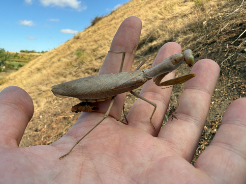
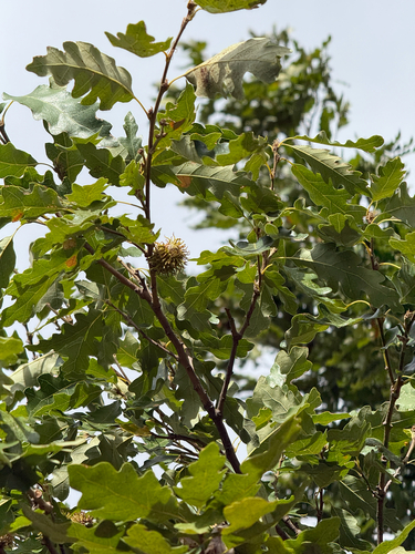
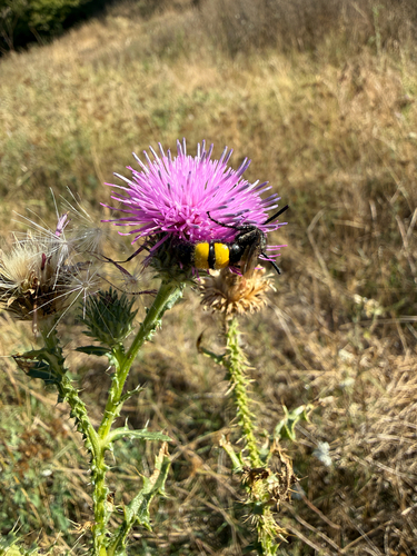
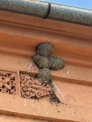
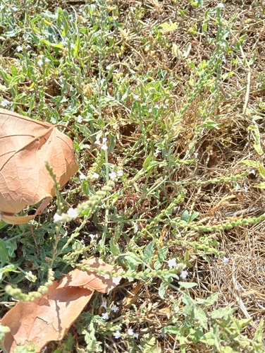
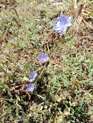
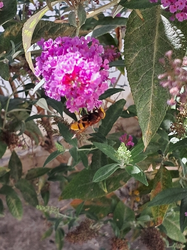
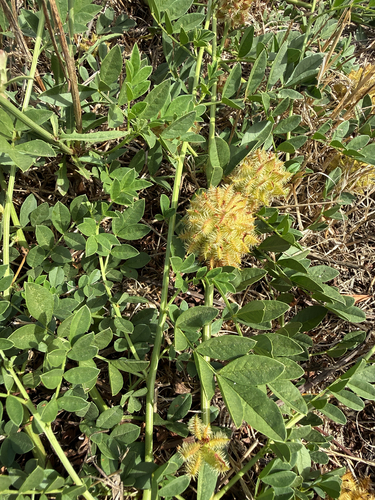
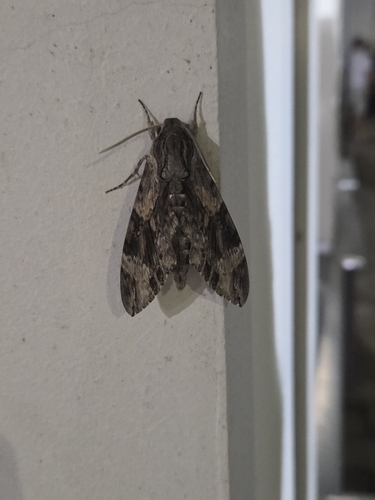
Research-grade observations from iNaturalist (within ~15 mi).
Events
Gallery
Sources
- • Wikipedia
- • iNaturalist
- • Open-Meteo / sunrise-sunset.org
- • Wikipedia Pageviews API