Browse / Croatia / Krapina-Zagorje / Oroslavje
Oroslavje
Krapina-Zagorjetown

Oroslavje
Total population
3,253
Demographic figures from Croatian Bureau of Statistics. Overview below cites Wikipedia and may reference a different year.
City facts
Facts from Wikidata (CC0).
Overview
Oroslavje is a town and municipality in Krapina-Zagorje County in Croatia.
Read more on WikipediaHistory & geography
History
The history of the city is tightly connected with the two castles in the town of Oroslavje. Oroslavje used to have two castles, but now only has one. The castle in so-called "Gornje Oroslavje" or "Upper Oroslavje" used to belong to the Čuklins, followed by the Vranyczanys. It was almost completely destroyed in the fire of 1949 and was later demolished. The only thing saved was the French-style park in front of the castle with a fountain. The second castle that used to be owned by the Vojkiffy family remained whole, but it is currently in bad shape. The Oroslavje church was most likely built in 1652 or 1653. It is first mentioned in historical sources in 1669. Its current shape was made in the beginning of the 20th century. Since 1941 it has been a parish church. The first textile school in Yugoslavia was founded in Oroslavje in 1927. In 2025, the city spent $225,000 to acquire a massive book created by farmer Joseph Mikulec, born near Oroslavje in 1878, who walked the world collecting autographs of presidents and kings.
Excerpted from the corresponding Wikipedia article (CC BY-SA).
Geography
Coordinates & boundaries from the US Census TIGER/Line shapefiles.
Climate
Air quality
Walkability
Amenities nearby
Wildlife & biodiversity
Earthquake history
Photos
Sights & places nearby
Notable people from here


People born within ~10 km, from Wikidata (CC0). Click any name for their Wikipedia article.
Nearby places in Krapina-Zagorje
- Mokrice0.8 mi away · pop. 758
- Stubičke Toplice1.5 mi away · pop. 1,845
- Lug Zabočki1.8 mi away · pop. 585
- Kamenjak2 mi away
- Pavlovec Zabočki2.2 mi away · pop. 605
- Dubrava Zabočka2.4 mi away · pop. 591
- Gubaševo2.9 mi away · pop. 262
- Veliko Trgovišće3.4 mi away · pop. 1,250
- Prosenik Gubaševski3.4 mi away · pop. 155
- Donja Podgora3.5 mi away · pop. 371
- Lepa Ves3.8 mi away · pop. 411
- Gornja Podgora4 mi away · pop. 287
Geography & sun
Elevation, sunrise/sunset and daylight from Open-Meteo. Solar climatology from NASA POWER.
Nearby airports
Public attention
Pageview totals from the Wikimedia Pageviews API.
Books about this place
Recent natural events nearby
Ground air-quality sensors
Recently spotted species

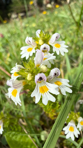
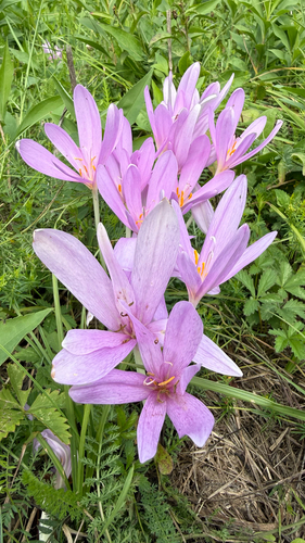
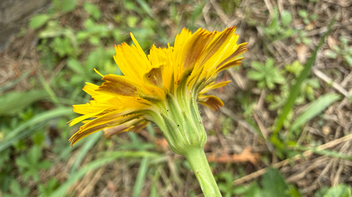
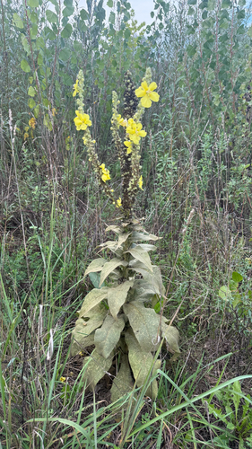
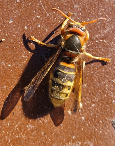
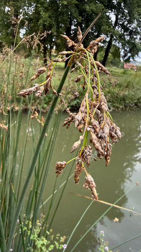
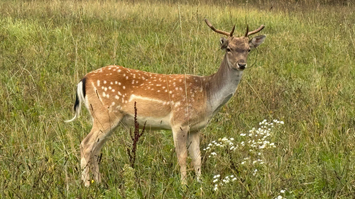
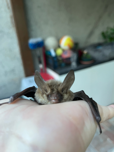
Research-grade observations from iNaturalist (within ~15 mi).
Events
Gallery
Sources
- • Wikipedia
- • Wikidata
- • iNaturalist
- • Open-Meteo / sunrise-sunset.org
- • Wikipedia Pageviews API