Browse / Croatia / Vukovar-Syrmia / Pačetin
Pačetin
Vukovar-Syrmiavillage

Pačetin
Total population
381
Demographic figures from Croatian Bureau of Statistics. Overview below cites Wikipedia and may reference a different year.
City facts
Facts from Wikidata (CC0).
Overview
Pačetin is a village in the municipality of Trpinja, Vukovar-Syrmia County in the easternmost part of Croatia. At the time of the 2011 Census the population of the village was 541. Village lies north of the Vuka River and west of the M601 railway. Its major landmark is the Church of St. Nicholas from the 18th century. County road Ž4111 passing through the villages of Pačetin, Bobota and Vera connects all three villages with D2 road and D55 road. Pačetin is 28.6 km southeast of Osijek, the economic and cultural centre of Slavonia and 17.2 km from the Osijek Airport. County seat Vukovar is 17.3 km east of Pačetin.
Read more on WikipediaHistory & geography
History
First information about Pačetin come from the 1275. At the place of present-day village during the Middle Ages there were three villages with three churches. After the withdrawal of the Ottoman Empire after the Treaty of Karlowitz of 1666, Pačetin was settled by Serbs mainly from Mačva, eastern Bosnia and Montenegro, and at the beginning of the 18th century, there were over 40 Serbian houses. They requested a pay rise and improved status for soldiers.
Geography
Absolute altitudes of the village is 87 meters above the sea level. Pačetin is located two kilometers away from the Vuka River.
Excerpted from the corresponding Wikipedia article (CC BY-SA).
Geography
Coordinates & boundaries from the US Census TIGER/Line shapefiles.
Climate
Air quality
Walkability
Amenities nearby
Wildlife & biodiversity
Earthquake history
Photos
Sights & places nearby
Notable people from here
Nearby places in Vukovar-Syrmia
- Ludvinci2.3 mi away · pop. 79
- Lipovača2.8 mi away · pop. 323
- Nuštar2.9 mi away · pop. 3,132
- Bršadin3.2 mi away · pop. 931
- Bobota3.3 mi away · pop. 1,202
- Mlaka Antinska3.9 mi away · pop. 55
- Trpinja4 mi away · pop. 1,130
- Cerić4.4 mi away · pop. 1,292
- Bogdanovci4.6 mi away · pop. 614
- Ćelije4.9 mi away · pop. 98
- Korog5.6 mi away · pop. 406
- Vera6.2 mi away · pop. 346
Geography & sun
Elevation, sunrise/sunset and daylight from Open-Meteo. Solar climatology from NASA POWER.
Nearby airports
Public attention
Pageview totals from the Wikimedia Pageviews API.
Books about this place
Recent natural events nearby
Ground air-quality sensors
Recently spotted species
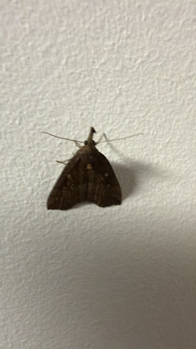
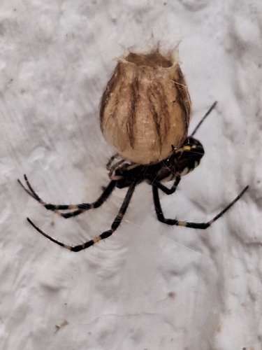
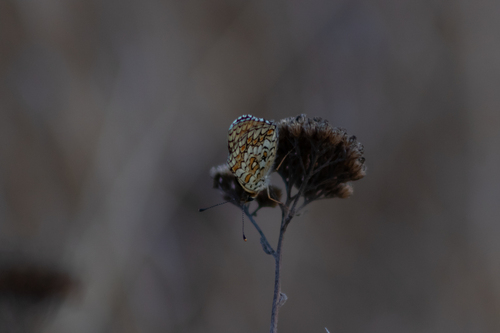
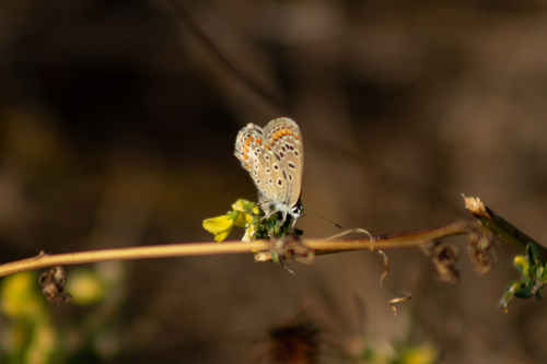
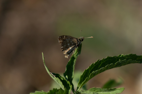
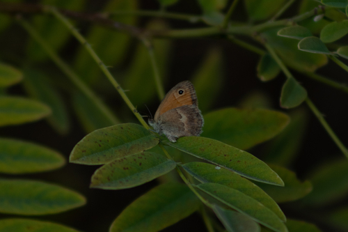
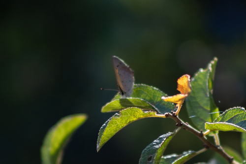
Research-grade observations from iNaturalist (within ~15 mi).
Events
Gallery
Sources
- • Wikipedia
- • Wikidata
- • iNaturalist
- • Open-Meteo / sunrise-sunset.org
- • Wikipedia Pageviews API