Browse / Croatia / Osijek-Baranja / Paulin Dvor
Paulin Dvor
Osijek-Baranjavillage
Total population
71
Demographic figures from Croatian Bureau of Statistics. Overview below cites Wikipedia and may reference a different year.
City facts
Facts from Wikidata (CC0).
Overview
Paulin Dvor is a village in the municipality of Šodolovci, eastern Croatia, population 76.
Read more on WikipediaHistory & geography
History
The village was established as a colonist settlement during the land reform in interwar Yugoslavia. On 11 December 1991 during the Croatian War of Independence after the continuous bombardment by the JNA forces, soldiers of the Croatian Army committed Paulin Dvor massacre, an act of mass murder. Of the nineteen victims, eighteen were ethnic Serbs, and one was a Hungarian national. The ages of the victims ranged from 41 to 85, and eight of the nineteen victims were women. Two former Croatian soldiers were convicted for their role in the killings and were sentenced to 15 and 11 years, respectively. In November 2010, Croatian President Ivo Josipović laid a wreath at the graveyard of the massacre victims and officially apologized for the killings.
Excerpted from the corresponding Wikipedia article (CC BY-SA).
Geography
Coordinates & boundaries from the US Census TIGER/Line shapefiles.
Climate
Air quality
Walkability
Amenities nearby
Wildlife & biodiversity
Earthquake history
Photos
Sights & places nearby
Notable people from here

People born within ~10 km, from Wikidata (CC0). Click any name for their Wikipedia article.
Nearby places in Osijek-Baranja
- Petrova Slatina1.5 mi away · pop. 150
- Vladislavci2.8 mi away · pop. 919
- Šodolovci2.9 mi away · pop. 267
- Lipovac Hrastinski4.5 mi away · pop. 81
- Brijest6 mi away · pop. 1,005
- Semeljci7 mi away · pop. 1,025
- Silaš7.4 mi away · pop. 326
- Široko Polje8.1 mi away · pop. 799
- Jurjevac Punitovački8.6 mi away · pop. 264
- Podravlje9.3 mi away · pop. 348
- Tvrđavica9.4 mi away · pop. 563
- Vučevci10 mi away · pop. 221
Geography & sun
Elevation, sunrise/sunset and daylight from Open-Meteo. Solar climatology from NASA POWER.
Nearby airports
Public attention
Pageview totals from the Wikimedia Pageviews API.
Books about this place
Recent natural events nearby
Ground air-quality sensors
Recently spotted species
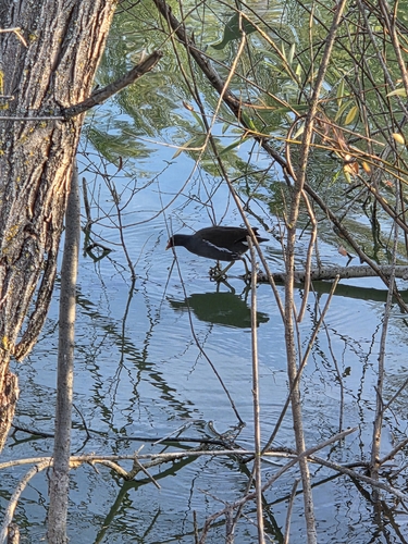
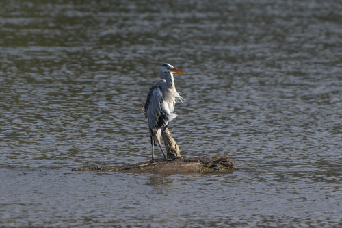
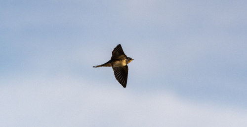
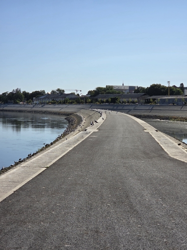
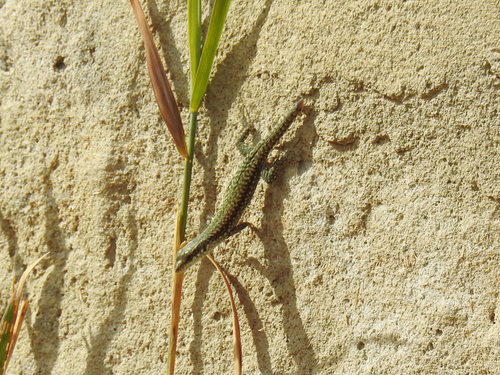
Research-grade observations from iNaturalist (within ~15 mi).
Events
Gallery
Sources
- • Wikipedia
- • Wikidata
- • iNaturalist
- • Open-Meteo / sunrise-sunset.org
- • Wikipedia Pageviews API