Browse / Croatia / Osijek-Baranja / Semeljci
Semeljci
Osijek-Baranjavillage
Total population
1,025
Demographic figures from Croatian Bureau of Statistics. Overview below cites Wikipedia and may reference a different year.
City facts
Facts from Wikidata (CC0).
Overview
Semeljci is a village and a municipality in Osijek-Baranja County, Croatia.
Read more on WikipediaHistory & geography
History
In the 13th century, Semeljci was a large village near present-day Kešinci. In the second half of the 15th century it reverted to the possession of feudal Gorjanskis and was called Somoghka (forest). Little is known about the village during the Ottoman era, except that it was destroyed during the Ottoman drive towards Vienna, and was rebuilt in 1698. In 1702, Semeljci had 14 inhabited houses. By 1758, Semeljci had grown to include 95 listed houses and was one of the largest villages that made up the diocesan estate. The first church was built in 1720. The increased number of people was the main reason that the village became the seat of the Catholic parish by 1754, and the church was enlarged. By the second half of the 19th century, Germans and Hungarians moved into Semeljci, making it a large and ethnically diverse village. The Germans left the village in 1944, and their houses were inhabited by Croats from various parts of Croatia. In the 1960s and 1970s the Germans abandoned Bačka to buy property in Semeljci and surrounding villages throughout Đakovština. Cultural interaction with the locals was successful, but short-lived.
Geography
Semeljci is located east of Đakovo, and is bordered by Kešinci, Forkuševci and Koritna.
Excerpted from the corresponding Wikipedia article (CC BY-SA).
Geography
Coordinates & boundaries from the US Census TIGER/Line shapefiles.
Climate
Air quality
Walkability
Amenities nearby
Wildlife & biodiversity
Earthquake history
Photos
Sights & places nearby
Notable people from here


People born within ~10 km, from Wikidata (CC0). Click any name for their Wikipedia article.
Nearby places in Osijek-Baranja
- Kešinci0.9 mi away · pop. 648
- Lipovac Hrastinski3.9 mi away · pop. 81
- Viškovci4.2 mi away · pop. 920
- Široko Polje4.8 mi away · pop. 799
- Šodolovci4.9 mi away · pop. 267
- Đurđanci5.1 mi away · pop. 370
- Tomašanci6.4 mi away · pop. 452
- Petrova Slatina6.7 mi away · pop. 150
- Jurjevac Punitovački6.9 mi away · pop. 264
- Đakovo7.3 mi away · pop. 16,875
- Josipovac Punitovački7.5 mi away · pop. 693
- Preslatinci10.8 mi away · pop. 136
Geography & sun
Elevation, sunrise/sunset and daylight from Open-Meteo. Solar climatology from NASA POWER.
Nearby airports
Public attention
Pageview totals from the Wikimedia Pageviews API.
Books about this place
Recent natural events nearby
Ground air-quality sensors
Recently spotted species
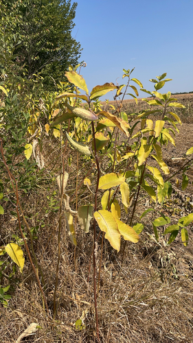
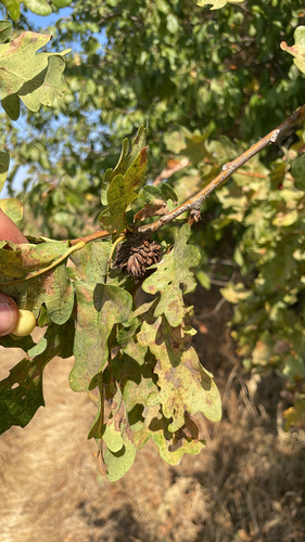
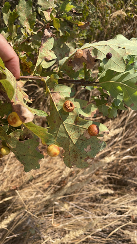
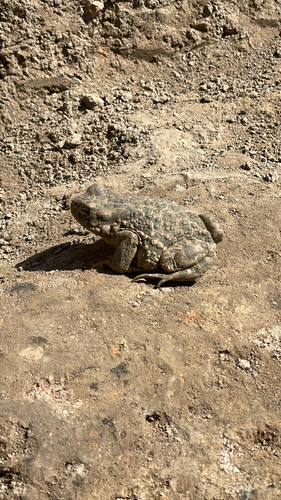

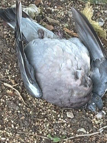
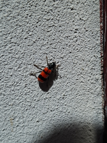
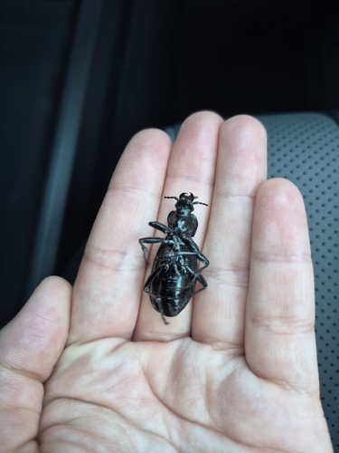
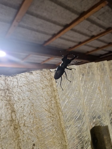
Research-grade observations from iNaturalist (within ~15 mi).
Events
Gallery
Sources
- • Wikipedia
- • Wikidata
- • iNaturalist
- • Open-Meteo / sunrise-sunset.org
- • Wikipedia Pageviews API