Browse / Croatia / Virovitica-Podravina / Pitomača
Pitomača
Virovitica-Podravinavillage
Total population
5,646
Demographic figures from Croatian Bureau of Statistics. Overview below cites Wikipedia and may reference a different year.
City facts
Facts from Wikidata (CC0).
Overview
Pitomača is a village and a municipality in Croatia in the Virovitica–Podravina County.
Read more on WikipediaHistory & geography
History
Since the end of the Ottoman Empire until 1918, Pitomača (named PITOMACA before 1850) was part of the Austrian monarchy (Kingdom of Croatia-Slavonia after the compromise of 1867), in the Croatian Military Frontier, Warasdin-St. Georgener Regiment N°VI.
Excerpted from the corresponding Wikipedia article (CC BY-SA).
Geography
Coordinates & boundaries from the US Census TIGER/Line shapefiles.
Climate
Air quality
Walkability
Amenities nearby
Wildlife & biodiversity
Earthquake history
Photos
Sights & places nearby
Notable people from here


People born within ~10 km, from Wikidata (CC0). Click any name for their Wikipedia article.
Nearby places in Virovitica-Podravina
- Stari Gradac3.3 mi away · pop. 674
- Velika Črešnjevica4 mi away · pop. 515
- Mala Črešnjevica4.6 mi away · pop. 199
- Vukosavljevica4.8 mi away · pop. 679
- Lozan5 mi away · pop. 440
- Novi Antunovac6.2 mi away · pop. 103
- Kapela Dvor10 mi away · pop. 259
- Podgorje10.1 mi away · pop. 737
- Brezik10.3 mi away · pop. 213
- Lukač10.4 mi away · pop. 443
- Virovitica10.9 mi away · pop. 13,486
- Terezino Polje11 mi away · pop. 269
Geography & sun
Elevation, sunrise/sunset and daylight from Open-Meteo. Solar climatology from NASA POWER.
Nearby airports
Public attention
Pageview totals from the Wikimedia Pageviews API.
Books about this place
Recent natural events nearby
Ground air-quality sensors
Recently spotted species
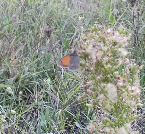
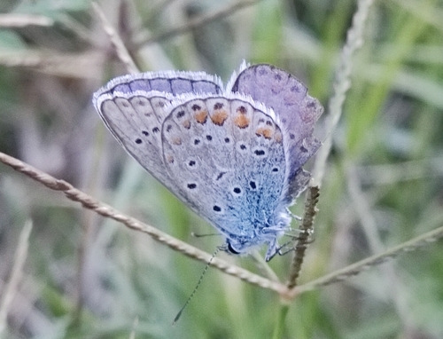

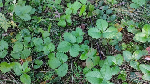
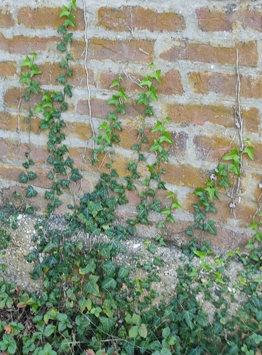
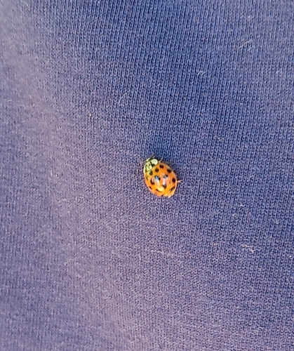
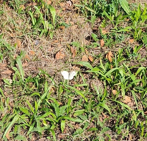
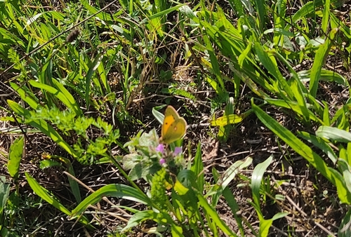
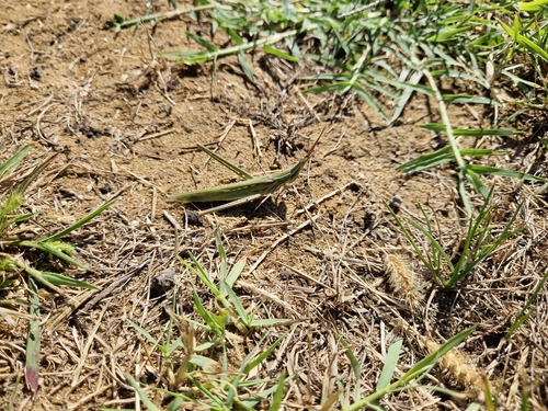
Research-grade observations from iNaturalist (within ~15 mi).
Events
Gallery
Sources
- • Wikipedia
- • Wikidata
- • iNaturalist
- • Open-Meteo / sunrise-sunset.org
- • Wikipedia Pageviews API