Browse / Croatia / Primorje-Gorski Kotar / Planina Skradska
Planina Skradska
Primorje-Gorski Kotarvillage
No image yet
Total population
39
Land area1.2 km²
Coordinates45.44°, 14.90°
Demographic figures from Croatian Bureau of Statistics. Overview below cites Wikipedia and may reference a different year.
Loading additional data from public sources…0 / 11
CensusWikipediaWeatherPlacesPeopleEnvironmentHealth & SchoolsRelatedGeography & CultureLive MonitoringEvents & Gallery
0% completeCity facts
Area
1.2 km²
Facts from Wikidata (CC0).
Overview
Planina Skradska is a settlement in the Municipality of Skrad in Croatia. In 2021, its population was 27.
Read more on WikipediaHistory & geography
Geography
Latitude
45.4392
Longitude
14.8974
Water area
—
Coordinates & boundaries from the US Census TIGER/Line shapefiles.
Climate
Air quality
Walkability
Amenities nearby
Wildlife & biodiversity
Earthquake history
Photos
Sights & places nearby
Notable people from here

Slavko Kvaternik
Croatian soldier and politician (1878–1947)
A
Aleksandar Kozlina
Yugoslavian-Croatian football player (1938-2013)

Andrej Cetinski
Slovenian military officer
B
Branko Pleše
Yugoslavian footballer (1915-1980)

Pero Kvrgić
Croatian actor (1927–2020)

Ivan Lenac

Đorđe Petrović
Croatian painter (1933–2015)

Alojz Briški
Slovenian politician
J
Jože Gregorič
Slovene literary historian
S
Stane Južnič
Slovenian political scientist and anthropologist
Đ
Đuro Matić
I
Ivan Brajdić
Croatian writer

Milan Rustanbeg

Zdenko Petranović
N
Nikola Majnarić
Croatian classical philologist (1885-1966)
R
Radovan Pavić
geographer (1933-2020)
People born within ~10 km, from Wikidata (CC0). Click any name for their Wikipedia article.
Nearby places in Primorje-Gorski Kotar
- Hlevci3.3 mi away · pop. 17
- Tići6.4 mi away · pop. 48
- Homer9.8 mi away · pop. 272
- Studena24.5 mi away · pop. 382
- Zarnevo623.3 mi away · pop. 1,300
- Azinhal1283.4 mi away · pop. 271
- Vaqueiros1291.9 mi away · pop. 58
- Cabanas de Tavira1295.3 mi away
- Santo Estêvão1300.9 mi away
- Moncarapacho1305.9 mi away · pop. 1,192
- Quelfes1308.4 mi away
- Querença1310.8 mi away · pop. 35
Geography & sun
Avg solar (kWh/m²/day)
3.6
Annual solar (kWh/m²)
1,313
Elevation, sunrise/sunset and daylight from Open-Meteo. Solar climatology from NASA POWER.
Nearby airports
Public attention
Wikipedia views (last 30 days)
8
Avg daily Wikipedia views
0
Attention level
Obscure
Pageview totals from the Wikimedia Pageviews API.
Books about this place
Recent natural events nearby
Ground air-quality sensors
Recently spotted species
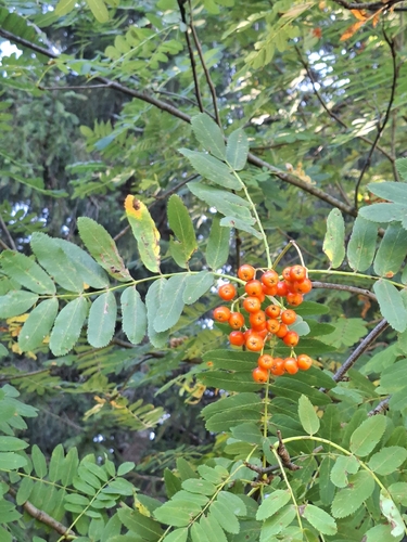
European mountain ash
Sorbus aucuparia
Seen 2026-09-07
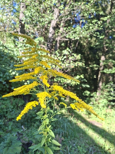
Canada goldenrod
Solidago canadensis
Seen 2026-09-07
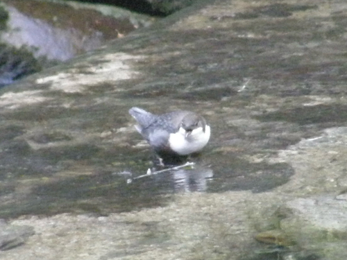
White-throated Dipper
Cinclus cinclus
Seen 2026-09-07
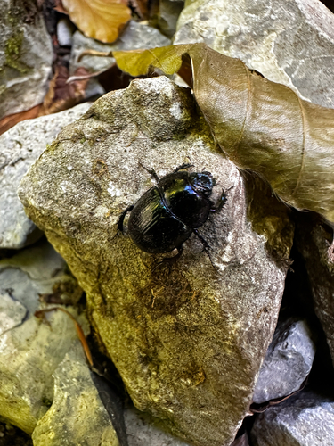
Woodland Dor Beetle
Anoplotrupes stercorosus
Seen 2026-09-07
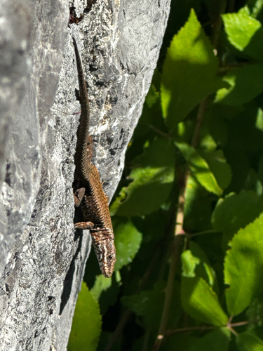
Common Wall Lizard
Podarcis muralis
Seen 2026-09-07
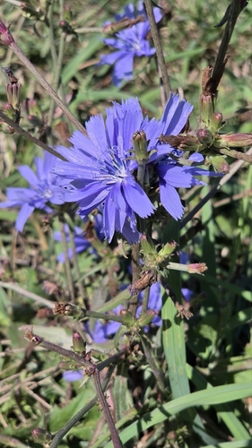
chicory
Cichorium intybus
Seen 2026-09-06
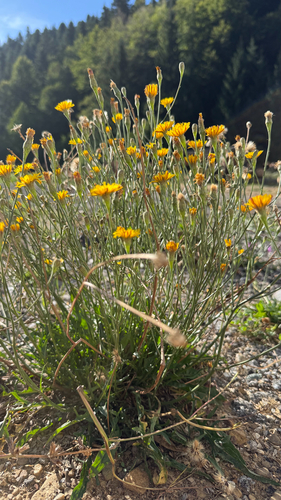
Common Cat's-ear
Hypochaeris radicata
Seen 2026-09-04
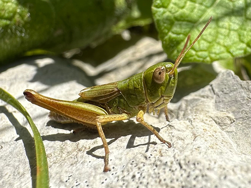
Meadow Grasshopper
Pseudochorthippus parallelus
Seen 2026-08-26
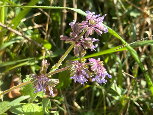
Whorled Clary
Salvia verticillata
Seen 2026-08-26
Research-grade observations from iNaturalist (within ~15 mi).
Events
Gallery
Sources
- • Wikipedia
- • Wikidata
- • iNaturalist
- • Open-Meteo / sunrise-sunset.org
- • Wikipedia Pageviews API