Browse / Croatia / Split-Dalmatia / Podaca
Podaca
Split-Dalmatiavillage
Total population
729
Demographic figures from Croatian Bureau of Statistics. Overview below cites Wikipedia and may reference a different year.
City facts
Facts from Wikidata (CC0).
Overview
Podaca is a coastal village and tourist locality in southern Dalmatia, Croatia, halfway between big urban centers of Split and Dubrovnik, or more closely cities of Makarska and Ploče, in the Gradac municipality, placed across from neigbouring peninsula Pelješac and the south end of Hvar (Pharos) island.
Read more on WikipediaHistory & geography
History
Podaca village was initially located up the hill, but since 60s along the coast, divided in three neighborhoods that are seamlessly connected to next villages: Kapeć (bordering Zaostrog), Viskovića vala and Ravanje (bordering Brist). Old Podaca was founded on the rocky slopes as defensible location, and there are traces of human habitation since Stone Age, like a stone mallet for mixing grain, which is kept in a Franciscan monastery at Zaostrog. Many stone ruins beneath Biokovo bear witness to the period of Illyrian habitation (2000 years BC - 1st century). During the Roman rule this area was administrated from Narona. There are many artifacts from that period like a broken jar with a silver coin with a Roman emperor Sever (193-211AD), which were found here. Other remains from the Roman age include a part of the walls, near which a Christian tone tablet was found, dated from the Middle Ages. During the Large migrations Croats inhabited these parts (7th - 8th century). They founded their settlements high on the hilltops, in order to have a more defensible position and to make use of mountain pastures. The Middle Ages were marked with a constant struggle between Croats and Venetians. Croats were at the peak of their naval might during the dominance of Kacic dynasty, with their decline (1280) Croatian naval dominance also declined. One of the remains from that period (11th-12th century) is an old Croatian church of St. Ivan with tombs of Kacic family at Gornja Podaca, which were Kacic ancestral lands. The church of St. Ivan at the Podaca cemetery was built in pre-Romanesque period in the 11th and 12th centuries. Not far from the church of St. Ivan, built in 1492, stood the church of St. Stjepan, which was razed to the ground in the 18th century to make room for a…
Excerpted from the corresponding Wikipedia article (CC BY-SA).
Geography
Coordinates & boundaries from the US Census TIGER/Line shapefiles.
Climate
Air quality
Walkability
Amenities nearby
Wildlife & biodiversity
Earthquake history
Photos
Sights & places nearby
Notable people from here


People born within ~10 km, from Wikidata (CC0). Click any name for their Wikipedia article.
Nearby places in Split-Dalmatia
- Gradac2.2 mi away · pop. 1,308
- Umčani5.1 mi away · pop. 227
- Kotezi5.8 mi away · pop. 278
- Draževitići6.1 mi away · pop. 203
- Dusina6.4 mi away · pop. 494
- Vrgorac6.6 mi away · pop. 2,132
- Podprolog7.6 mi away · pop. 355
- Zavojane8.3 mi away · pop. 308
- Stilja8.6 mi away · pop. 320
- Dragljane8.9 mi away · pop. 52
- Igrane9.8 mi away · pop. 399
- Gornje Igrane10.9 mi away · pop. 3
Geography & sun
Elevation, sunrise/sunset and daylight from Open-Meteo. Solar climatology from NASA POWER.
Nearby airports
Public attention
Pageview totals from the Wikimedia Pageviews API.
Books about this place
Recent natural events nearby
Ground air-quality sensors
Recently spotted species
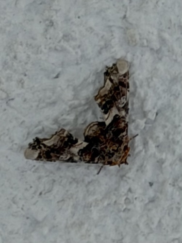
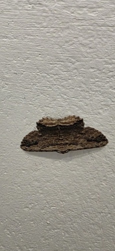

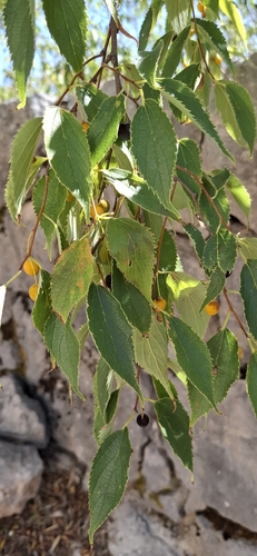
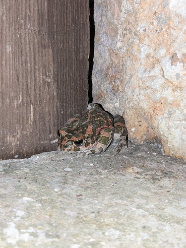
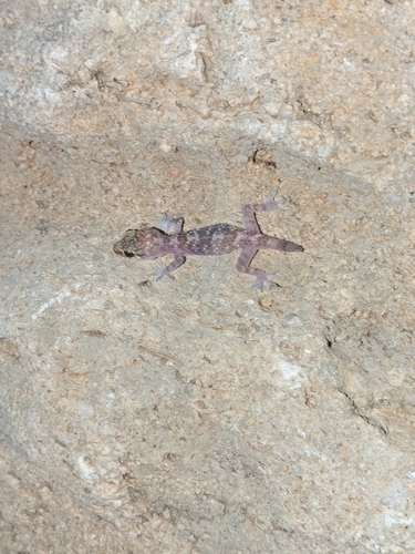
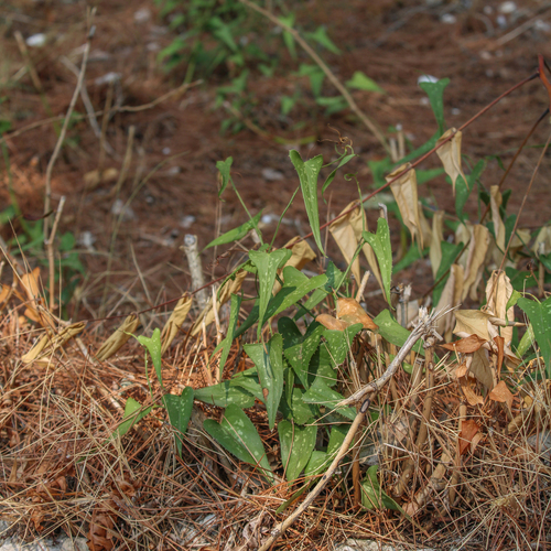
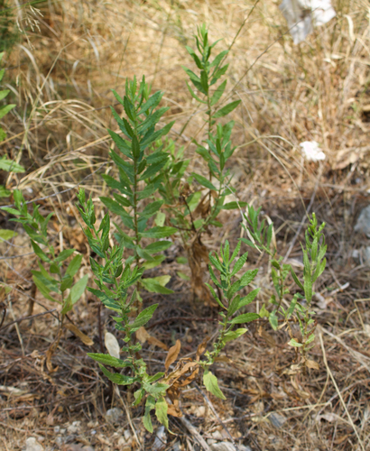
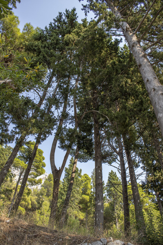
Research-grade observations from iNaturalist (within ~15 mi).
Events
Gallery
Sources
- • Wikipedia
- • Wikidata
- • iNaturalist
- • Open-Meteo / sunrise-sunset.org
- • Wikipedia Pageviews API