Browse / Croatia / Primorje-Gorski Kotar / Rijeka
Rijeka
Primorje-Gorski Kotarcity

Rijeka
Total population
107,964
Demographic figures from Croatian Bureau of Statistics. Overview below cites Wikipedia and may reference a different year.
City facts
Sister cities
Facts from Wikidata (CC0).
Overview
Rijeka is the principal seaport and the third-largest city in Croatia. It is located in Primorje-Gorski Kotar County on Kvarner Bay, an inlet of the Adriatic Sea and in 2021 had a population of 107,964 inhabitants. Historically, because of its strategic position and its excellent deep-water port, the city was fiercely contested, especially between the Holy Roman Empire, the Republic of Venice, the Kingdom of Italy and Yugoslavia, changing rulers and demographics many times over centuries. According to the 2021 census data, 85% of its citizens are Croats, along with small numbers of Serbs, Bosniaks and Italians.
Read more on WikipediaHistory & geography
History
Though traces of Neolithic settlements can be found in the region, the earliest modern settlements on the site were Celtic Tharsatica (modern Trsat, now part of Rijeka) on the hill, and the tribe of mariners, the Liburni, in the natural harbour below. The city long retained its dual character. Rijeka was first mentioned in the 1st century AD by Pliny the Elder as Tarsatica in his Natural History (iii.140). Rijeka (Tarsatica) is again mentioned around AD 150 by the Greek geographer and astronomer Ptolemy in his Geography when describing the "Location of Illyria or Liburnia, and of Dalmatia" (Fifth Map of Europe). In the time of Augustus, the Romans rebuilt Tarsatica as a municipium Flumen (MacMullen 2000), situated on the right bank of the small river Rječina (whose name means "the big river"). It became a city within the Roman Province of Dalmatia until the 6th century. In this period the city was part of the Liburnia limes (system of walls and fortifications against raiding Barbarians). Remains of these walls are still visible in some places today. After the 4th century Rijeka was rededicated to Saint Vitus, the city's patron saint, as Terra Fluminis sancti Sancti Viti or in German Sankt Veit am Pflaum. From the 5th century onwards, the town was ruled successively by the Ostrogoths, the Byzantines, the Lombards, and the Avars. The city was burned down in 452 by the troops of Attila the Hun as part of their Aquileia campaign. Croats settled the city starting in the 7th century. At the time, Rijeka was a feudal stronghold surrounded by a wall. At the center of the city, its highest point, was a fortress. In 799 Rijeka was attacked by the Frankish troops of Charlemagne. Their Siege of Trsat was at first repulsed, during which the Frankish commander Duke Eric of…
Geography
Rijeka is located in western Croatia, south-west of the capital, Zagreb, on the coast of Kvarner Gulf, in the northern part of the Adriatic Sea. Geographically, Rijeka is roughly equidistant from Milan (), Budapest (), Munich (), Vienna () and Belgrade (). Other major regional centers such as Trieste (), Venice () and Ljubljana () are all relatively close and easily accessible. The Bay of Rijeka, which is bordered by Vela Vrata (between Istria and the island of Cres), Srednja Vrata (between Cres and Krk Island) and Mala Vrata (between Krk and the mainland) is connected to the Kvarner Gulf and is deep enough (about ) to accommodate large commercial ships. The City of Rijeka lies at the mouth of the river Rječina and in the Vinodol micro-region of the Croatian coast. From three sides Rijeka is surrounded by mountains. To the west, the Učka range is prominent. To the north/north-east are the Snežnik plateau and the Risnjak massif with its national park. To the east/south-east is the Velika Kapela range. This type of terrain configuration prevented Rijeka from developing further inland (to the north) and the city mostly lies on a long and relatively narrow strip along the coast. Two important inland transport routes start in Rijeka. The first route runs north-east to the Pannonian Basin. This route takes advantage of Rijeka's location close to the point where the Dinaric Alps are the narrowest (about ) and easiest to traverse, making it the optimal route from the Hungarian plain to the sea. It also makes Rijeka the natural harbour for the Pannonian Basin (especially Hungary). The other route runs north-west across the Postojna Gate connecting Rijeka with Slovenia and further through the Ljubljana Gap with Austria and beyond. A third more coastal route runs east-west…
Excerpted from the corresponding Wikipedia article (CC BY-SA).
Geography
Coordinates & boundaries from the US Census TIGER/Line shapefiles.
Climate
Air quality
Walkability
Amenities nearby
Wildlife & biodiversity
Earthquake history
Photos
Sights & places nearby
Notable people from here


People born within ~10 km, from Wikidata (CC0). Click any name for their Wikipedia article.
Nearby places in Primorje-Gorski Kotar
- Studena7.3 mi away · pop. 382
- Homer14.1 mi away · pop. 272
- Hlevci24.1 mi away · pop. 17
- Tići28.8 mi away · pop. 48
- Zarnevo644.3 mi away · pop. 1,300
- Azinhal1260 mi away · pop. 271
- Vaqueiros1268.5 mi away · pop. 58
- Cabanas de Tavira1271.9 mi away
- Santo Estêvão1277.5 mi away
- Moncarapacho1282.5 mi away · pop. 1,192
- Quelfes1285 mi away
- Querença1287.4 mi away · pop. 35
Geography & sun
Elevation, sunrise/sunset and daylight from Open-Meteo. Solar climatology from NASA POWER.
Nearby airports
Public attention
Pageview totals from the Wikimedia Pageviews API.
Books about this place
Recent natural events nearby
Ground air-quality sensors
Recently spotted species
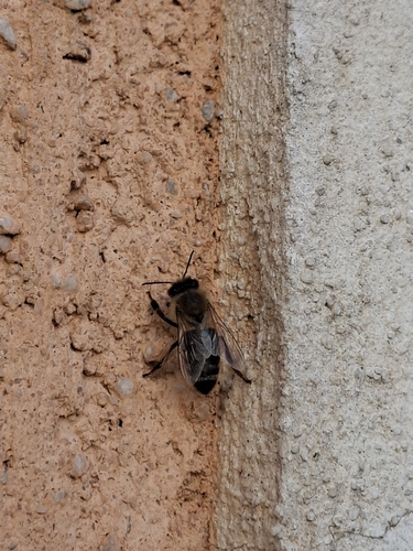
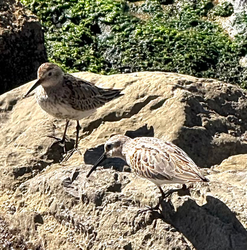
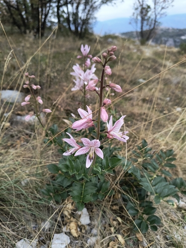
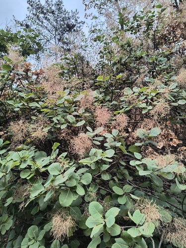
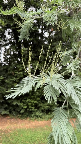
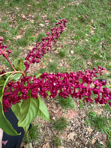
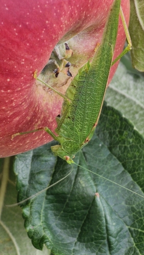
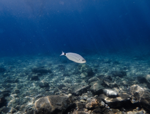
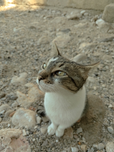
Research-grade observations from iNaturalist (within ~15 mi).
Events
Notable, recurring, and historical events associated with Rijeka, sourced from Wikidata.
- Jul 25, 1998
- Q110979329Jul 1, 1973sporting event
Source: Wikidata (CC0).
Gallery
Sources
- • Wikipedia
- • Wikidata
- • iNaturalist
- • Open-Elevation
- • Open-Meteo / sunrise-sunset.org
- • Wikipedia Pageviews API