Browse / Croatia / Šibenik-Knin / Šibenik
Šibenik
Šibenik-Knincity

Šibenik
Total population
31,115
Demographic figures from Croatian Bureau of Statistics. Overview below cites Wikipedia and may reference a different year.
City facts
Facts from Wikidata (CC0).
Overview
Šibenik is a historic town in Croatia, located in central Dalmatia, where the river Krka flows into the Adriatic Sea. Šibenik is one of the oldest Croatian self-governing cities on the Adriatic, the capital and cultural, educational, administrative and economic center of Šibenik-Knin County, and is also the third-largest town in the Dalmatian region. As of 2021, the town has 31,115 inhabitants, while the municipality has 42,599 inhabitants.The seat is the Šibenik Diocese.
Read more on WikipediaHistory & geography
History
There are multiple interpretations of how Šibenik was named. In his fifteenth-century book De situ Illiriae et civitate Sibenici, Giorgio Sisgoreo describes the name and location of Šibenik. He attributes the name of the city to it being surrounded by a palisade made of šibe 'switches/twigs'. Some argue the name is of Illyrian origin, or derived from the family name of the Šubićs. Tarion was an ancient city located in the area between the Krka River in the north and Cape Ploče in the south, branching out along the coast. According to Pliny's notes, Tarion was the home of the Tarioti people, who were indigenous people. According to Pliny's notes, the Tarioti people mainly practiced a pastoral lifestyle, which can be determined by archaeological remains dedicated to the god Silvanus. Of course, in addition to their pastoral lifestyle, their geographical position allowed them to connect with other important cities of the time, such as Danilo, and to have a quality road connection, which is why it was important for the Romans themselves and the people who lived in the area. Šibenik is one of the oldest native Croatian towns on the Adriatic Sea. Not much is known about the earliest history of Šibenik, or the exact date of its foundation. According to current scientific discoveries, it is assumed that it was founded during the reign of Prince Domagoj in the 9th century. It initially developed as a fortress (castrum) with an older suburb (suburbium) in the Dolac area and a younger one on the eastern side of the castle, where the church of St. Chrysogonus was built in the 12th century, around which the core of the medieval town later developed. Šibenik belonged to the group of so-called Croatian towns, and it arose on a hill 70 m above the sea (today's St. Michael's…
Geography
Šibenik is located at 43˚44' north latitude and 15˚55' east longitude. Geographical position of the city lies amphitheatrically around the Šibenik Bay (a natural harbor in the Adriatic), on the hills of (496 m), not far from the mouth of the Krka into the sea. It is connected to Zadar in the northwest (79 km away) and Split in the southeast (80 km) by the Adriatic Highway, a highway and a railway. It is connected to the Šibenik islands (Prvić, Zlarin, Žirje, Kaprije, Obonjan) by ferry connections. The relief is characterized by a very indented coast, a wide strip of the hinterland of the coastal-Dinaric karst of Zagora, a hilly area in the hinterland. The landscape is diverse, and the sea is the greatest wealth and the basic natural resource that determines the economic basis. The air length of the coast is 56.2 km, and the actual length is as much as 805.9 km. The county is home to two national parks, Krka and Kornati, and the southeastern (smaller) part of the nature park Vransko jezero. The average population density is 51.5 inhabitants per km2.
Excerpted from the corresponding Wikipedia article (CC BY-SA).
Geography
Coordinates & boundaries from the US Census TIGER/Line shapefiles.
Climate
Air quality
Walkability
Amenities nearby
Wildlife & biodiversity
Earthquake history
Photos
Sights & places nearby
Notable people from here


People born within ~10 km, from Wikidata (CC0). Click any name for their Wikipedia article.
Nearby places in Šibenik-Knin
- Dubrava kod Šibenika2.6 mi away · pop. 1,117
- Zlarin3.9 mi away · pop. 293
- Jadrtovac4.8 mi away · pop. 171
- Prvić Luka4.8 mi away · pop. 164
- Danilo Biranj4.9 mi away · pop. 416
- Lozovac5.1 mi away · pop. 318
- Zaton5.1 mi away · pop. 929
- Gradina5.1 mi away · pop. 258
- Prvić Šepurine5.4 mi away · pop. 239
- Žaborić5.6 mi away · pop. 552
- Donje Polje5.6 mi away · pop. 188
- Skradin6 mi away · pop. 508
Geography & sun
Elevation, sunrise/sunset and daylight from Open-Meteo. Solar climatology from NASA POWER.
Nearby airports
Public attention
Pageview totals from the Wikimedia Pageviews API.
Books about Šibenik

Search results from Open Library.
Recent natural events nearby
Ground air-quality sensors
Recently spotted species
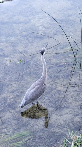
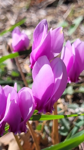
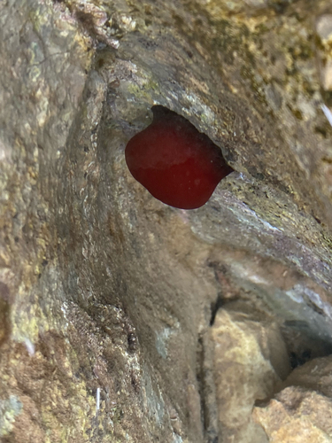
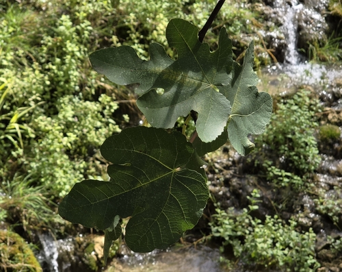
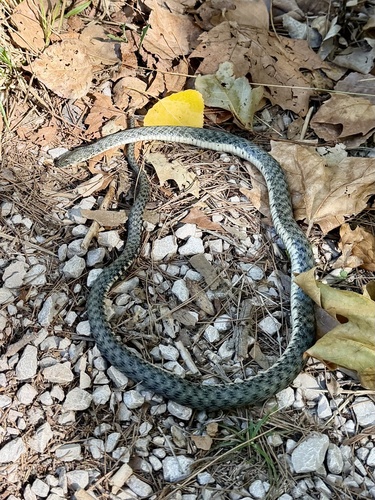
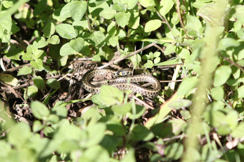
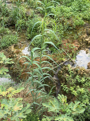
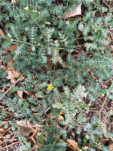
Research-grade observations from iNaturalist (within ~15 mi).
Events
Notable, recurring, and historical events associated with Šibenik, sourced from Wikidata.
- International children's festival Šibenikfestival
Croatian annual multi-day international festival of children's art in Šibenik
Source: Wikidata (CC0).
Gallery
Sources
- • Wikipedia
- • Wikidata
- • iNaturalist
- • Open-Meteo / sunrise-sunset.org
- • Wikipedia Pageviews API
- • Open Library