Browse / Croatia / Međimurje / Štrigova
Štrigova
Međimurjevillage

Štrigova
Total population
443
Demographic figures from Croatian Bureau of Statistics. Overview below cites Wikipedia and may reference a different year.
City facts
Overview
Štrigova is a village and municipality in Međimurje County, in northern Croatia.
Read more on WikipediaHistory & geography
History
The oldest archaeological finds in Štrigova municipality are from the Roman period. Burial mounds, fragments of pottery and fragments of Roman roads have been found in the hamlet of Trnovčak. The settlement of Štrigova was first mentioned in 1271 as Castr. Strigo (English: Fort Strigo). During that time the fort was in the possession of Arnold of Stridó. In 1290 Andrew the Venetian, later king of Hungary and Croatia, was captured in the fort by Arnold of Stridó, and was sent to Vienna in captivity. In 1334 Štrigova was recorded as a Catholic parish named Sancte Marie Magdalene de Strigo in the Census of parishes of the Zagreb Diocese. From the late Middle Ages until the beginning of the 20th century, Štrigova had the status of a Market town. During the 15th century, the feudal proprietor of Međimurje Frederick II, Count of Celje built the wooden chapel of saint Jerome in Štrigova. In 1447, the Papal bull Gloriosus Deus in sanctis suis (English: God is glorius in his Saints) was promulgated by Pope Nicholas V for the Church of Saint Jerome in Štrigova. In that document, Štrigova is mentioned as the birthplace of Saint Jerome although this claim is disputed by some scholars. In 1931, the Štrigova municipality was separated from Čakovec and the rest of Međimurje and placed under the authority of the Ljutomer District in Drava Banovina. In April 1941 Međimurje was occupied by the Hungarian Army, but Štrigova was occupied by the German Army. In June 1941, at the request of Hungary, Štrigova was again reincorporated into Međimurje. In April 1945, the former municipality of Štrigova provisionally became a part of the Yugoslav Federal republic of Slovenia. In 1946 the municipality was divided between the People's Republics of Croatia and Slovenia. The villages Banfi,…
Geography
Štrigova is located in upper Međimurje at the border with Slovenia. The village of Štrigova, the municipality centre, is located around 19 kilometres northwest from Čakovec, and some 110 kilometres north of Zagreb. The municipality covers an area of 39.21 km2. The landscape of Štrigova consists of low hills called Međimurske gorice, covered with vineyards, orchards and woodlands. Međimurske gorice are an extension of Slovenske gorice. At 341 metres, Mađerkin breg is the highest hill in municipality, and also a popular viewpoint. Štrigova is located on the road that connects the county seat Čakovec with the town of Ljutomer in Slovenia. There are two border crossings with Slovenia in the municipality called Banfi and Bukovje.
Excerpted from the corresponding Wikipedia article (CC BY-SA).
Geography
Coordinates & boundaries from the US Census TIGER/Line shapefiles.
Climate
Air quality
Walkability
Amenities nearby
Wildlife & biodiversity
Most-observed species
- Mute SwanCygnus olor (J.F.Gmelin, 1789) · Aves494
- MallardAnas platyrhynchos Linnaeus, 1758 · Aves490
- Hooded CrowCorvus cornix Linnaeus, 1758 · Aves476
- Gray/Purple HeronArdea cinerea Linnaeus, 1758 · Aves468
- Great TitParus major Linnaeus, 1758 · Aves436
- Common ChaffinchFringilla coelebs Linnaeus, 1758 · Aves401
- Common BuzzardButeo buteo (Linnaeus, 1758) · Aves372
- Great EgretArdea alba Linnaeus, 1758 · Aves366
Citizen-science & research observations from the Global Biodiversity Information Facility (GBIF).
Earthquake history
Most recent
- M 4.1 — 2024-08-135 km W of Rasinja, Croatia
- M 2.9 — 2024-03-072 km E of Zagreb, Croatia
- M 3 — 2021-04-203 km NNW of Dubrava, Croatia
- M 2.7 — 2021-01-034 km ENE of Novo ?i?e, Croatia
- M 3 — 2020-06-175 km NNW of Dubrava, Croatia
- M 3 — 2020-04-235 km WSW of Kašina, Croatia
Events from the USGS Earthquake Catalog (global) (FDSN Event Web Service).
Photos
Sights & places nearby
Notable people from here


People born within ~10 km, from Wikidata (CC0). Click any name for their Wikipedia article.
Nearby places in Međimurje
- Leskovec1.1 mi away · pop. 109
- Grabrovnik1.4 mi away · pop. 274
- Jalšovec1.4 mi away · pop. 144
- Železna Gora1.8 mi away · pop. 465
- Robadje1.8 mi away · pop. 159
- Sveti Urban1.9 mi away · pop. 481
- Jurovčak2 mi away · pop. 163
- Čestijanec2.5 mi away · pop. 114
- Toplice Sveti Martin2.5 mi away · pop. 50
- Lapšina2.9 mi away · pop. 148
- Jurovec3.1 mi away · pop. 267
- Prekopa3.2 mi away · pop. 234
Geography & sun
Elevation, sunrise/sunset and daylight from Open-Meteo. Solar climatology from NASA POWER.
Nearby airports
Public attention
Pageview totals from the Wikimedia Pageviews API.
Books about this place
Recent natural events nearby
Ground air-quality sensors
Recently spotted species
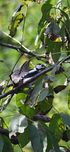
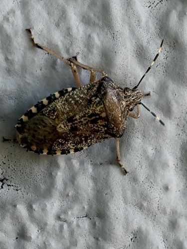
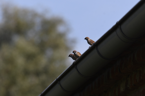
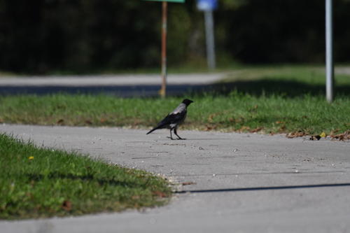
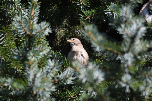
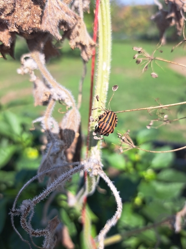
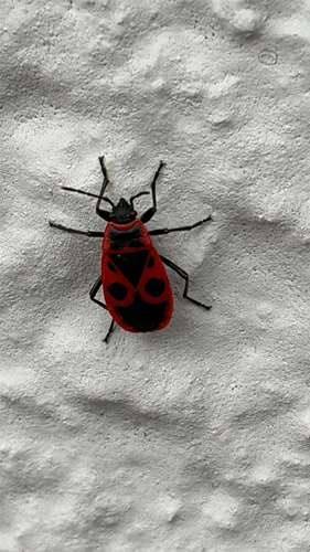
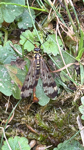
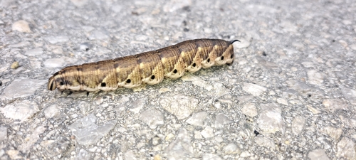
Research-grade observations from iNaturalist (within ~15 mi).
Events
Gallery
Sources
- • Wikipedia
- • Wikidata
- • USGS Earthquake Catalog (global feed)
- • GBIF (Global Biodiversity Information Facility)
- • iNaturalist
- • Open-Meteo / sunrise-sunset.org
- • Wikipedia Pageviews API