Browse / Croatia / Split-Dalmatia / Tučepi
Tučepi
Split-Dalmatiavillage

Tučepi
Total population
1,931
Demographic figures from Croatian Bureau of Statistics. Overview below cites Wikipedia and may reference a different year.
City facts
Facts from Wikidata (CC0).
Overview
Tučepi is a village and the only settlement in the eponymous municipality in the Split-Dalmatia County, Croatia. It is located on the Adriatic coast of Dalmatia known as Makarska riviera, about 5 km southeast of Makarska. It is a popular tourist destination thanks to its scenic coastline.
Read more on WikipediaHistory & geography
History
The settlement of Tučepi was first settled four thousand years ago by the Illyrians. Until the earthquake of 1962, the majority of its inhabitants were living in scattered hamlets like Gornji Tučepi, Podpeč, Čovići, Srida Sela, Šimići and Podstup at the lower foot of the mountain Biokovo and since the 18th century these towns have seen a gradual process of depopulation, as their inhabitants began moving down to Tučepi-Kraj, now a 4-km long resort. Name from the Slavic tucha cloud According to a local folk legend, the Venetian Doge Pietro I Candiano is buried here. In fact, the first of the four Venetian Doges of the Candiano family, Pietro, died on 18 September 887 in a battle against the Croatian tribe of Neretvans who defeated the Venetian fleet near Makarska. After his defeat the Venetians made a treaty with Prince Branimir in 888, agreeing to pay a tribute to the Croatian rulers for the right to sail and trade unmolested along the Adriatic, which they had to adhere to until the end of the 10th century.
Excerpted from the corresponding Wikipedia article (CC BY-SA).
Geography
Coordinates & boundaries from the US Census TIGER/Line shapefiles.
Climate
Air quality
Walkability
Amenities nearby
Wildlife & biodiversity
Earthquake history
Photos
Sights & places nearby
Notable people from here


People born within ~10 km, from Wikidata (CC0). Click any name for their Wikipedia article.
Nearby places in Split-Dalmatia
- Veliko Brdo4.2 mi away · pop. 492
- Gornje Igrane5.3 mi away · pop. 3
- Krvavica5.6 mi away · pop. 314
- Igrane6.3 mi away · pop. 399
- Rašćane Gornje7.4 mi away · pop. 19
- Župa Srednja7.4 mi away · pop. 3
- Baška Voda8.5 mi away · pop. 1,978
- Vlaka8.8 mi away · pop. 41
- Dragljane9.3 mi away · pop. 52
- Rastovac9.4 mi away · pop. 168
- Selca kod Bogomolja9.8 mi away · pop. 6
- Podosoje10.4 mi away · pop. 40
Geography & sun
Elevation, sunrise/sunset and daylight from Open-Meteo. Solar climatology from NASA POWER.
Nearby airports
Public attention
Pageview totals from the Wikimedia Pageviews API.
Books about this place
Recent natural events nearby
Ground air-quality sensors
Recently spotted species
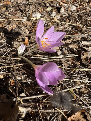
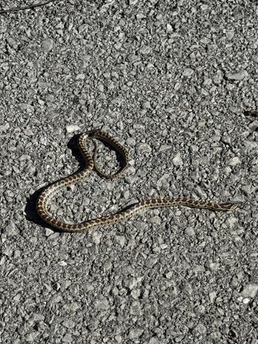
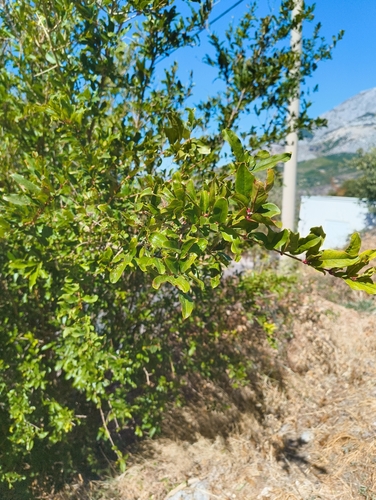
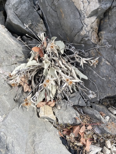
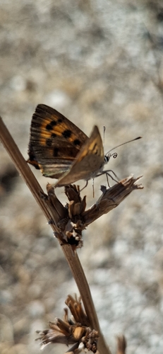
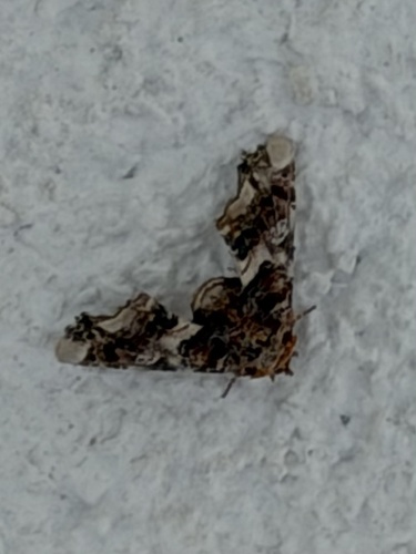
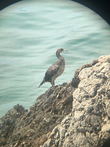
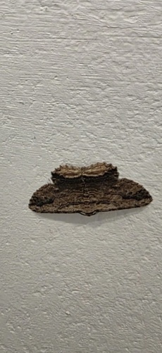
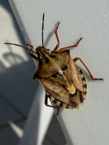
Research-grade observations from iNaturalist (within ~15 mi).
Events
Gallery
Sources
- • Wikipedia
- • Wikidata
- • iNaturalist
- • Open-Meteo / sunrise-sunset.org
- • Wikipedia Pageviews API