Browse / Croatia / Krapina-Zagorje / Zabok
Zabok
Krapina-Zagorjetown

Zabok
Total population
3,408
Demographic figures from Croatian Bureau of Statistics. Overview below cites Wikipedia and may reference a different year.
City facts
Facts from Wikidata (CC0).
Overview
Zabok is a town situated in northwest Croatia in the Krapina-Zagorje County. According to the 2011 census, it has a total population of 8,994, with 2,714 in Zabok itself. Zabok is situated on the main crossroads in the heart of Hrvatsko Zagorje region. Zabok is the economical centre of the Krapina-Zagorje County.
Read more on WikipediaHistory & geography
History
The name Zabok first appeared in 1335 in a text in which ownership of Zabok was given to Petar, son of Nuzlin, by the Hungarian king, Charles I. "Zabok" means "behind the river curve" (the river in question is the Krapinica). The Nuzlin family added the prefix de Zabok to their name and, by the 15th century, had started naming themselves "Zaboky de Zabok". In 1782, Sigismund Vojković-Vojkffy started the construction of a church in Zabok, completing it in 1805. With the abolition of the feudalism, former serfs were offered a possibility of choosing their own place of settlement, and the majority settled along the roads connecting Gredice and Bračak with the new centre developing around the church, to form the new city centre. The town reached its final shape in the period after World War II, when it spread longitudinally along the northern side of the railway track. On 8 June 2018, Zabok was hit with golf ball sized hail.
Geography
Zabok is located at , at an altitude of 186 m above sea level. Since records began in 1991, the highest temperature recorded at the local weather station was , on 8 August 2013. The coldest temperature was , on 26 January 2000.
Excerpted from the corresponding Wikipedia article (CC BY-SA).
Geography
Coordinates & boundaries from the US Census TIGER/Line shapefiles.
Climate
Air quality
Walkability
Amenities nearby
Wildlife & biodiversity
Earthquake history
Photos
Sights & places nearby
Notable people from here


People born within ~10 km, from Wikidata (CC0). Click any name for their Wikipedia article.
Nearby places in Krapina-Zagorje
- Lug Zabočki0.7 mi away · pop. 585
- Pavlovec Zabočki1.3 mi away · pop. 605
- Prosenik Gubaševski1.8 mi away · pop. 155
- Gubaševo1.9 mi away · pop. 262
- Mokrice2 mi away · pop. 758
- Dubrava Zabočka2.2 mi away · pop. 591
- Prosenik Začretski2.2 mi away · pop. 158
- Mirkovec2.4 mi away · pop. 476
- Zleć2.4 mi away · pop. 150
- Pustodol Začretski2.8 mi away · pop. 231
- Veliko Trgovišće3.2 mi away · pop. 1,250
- Družilovec3.2 mi away · pop. 472
Geography & sun
Elevation, sunrise/sunset and daylight from Open-Meteo. Solar climatology from NASA POWER.
Nearby airports
Public attention
Pageview totals from the Wikimedia Pageviews API.
Books about this place
Recent natural events nearby
Ground air-quality sensors
Recently spotted species
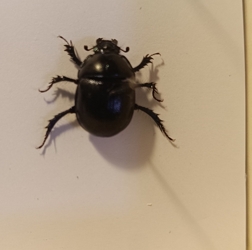
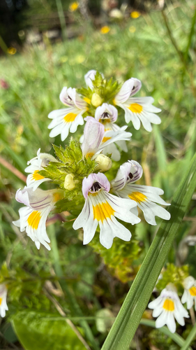
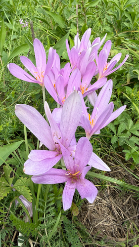
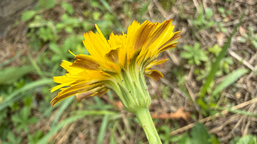
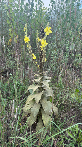
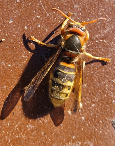
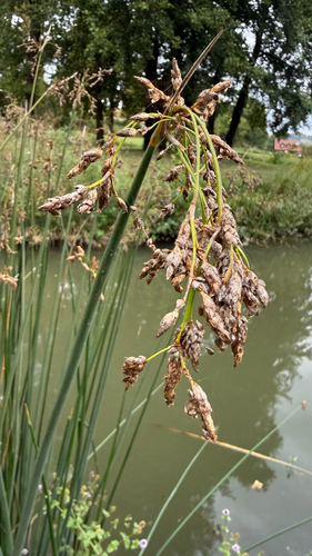
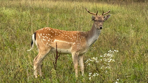
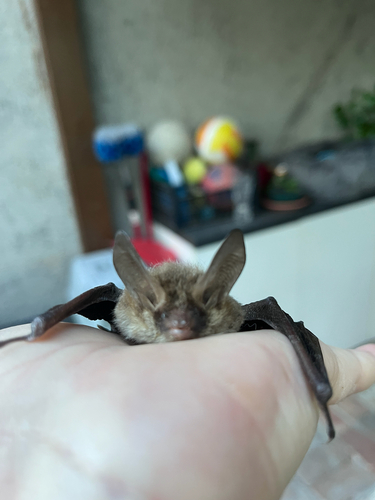
Research-grade observations from iNaturalist (within ~15 mi).
Events
Gallery
Sources
- • Wikipedia
- • Wikidata
- • iNaturalist
- • Open-Meteo / sunrise-sunset.org
- • Wikipedia Pageviews API