Browse / Croatia / Vukovar-Syrmia / Županja
Županja
Vukovar-Syrmiatown

Županja
Total population
9,153
Demographic figures from Croatian Bureau of Statistics. Overview below cites Wikipedia and may reference a different year.
City facts
Facts from Wikidata (CC0).
Overview
Županja is a town in eastern Slavonia, Croatia, located 254 km east of Zagreb. It is administratively part of the Vukovar-Syrmia County. It is inhabited by 12,090 people (2011).
Read more on WikipediaHistory & geography
History
Županja was ruled by Ottoman Empire between 1536 and 1687 as part of Sanjak of Syrmia. Since the Treaty of Karlowitz in 1699, until 1918, Županja (named ZUPANJE when a post-office was opened in 1861) remained in the Austrian monarchy (Kingdom of Croatia-Slavonia after the compromise of 1867), in the Slavonian Military Frontier, under the administration of the Brooder Grenz-Infanterie-Regiment N°VII until 1881. In the late 19th and early 20th century, Županja was a district capital in the Kingdom Syrmia County. From 1929 to 1939, Županja was part of the Sava Banovina and from 1939 to 1941 of the Banovina of Croatia within the Kingdom of Yugoslavia. The DVD "Sladorana" was founded in 1947.
Excerpted from the corresponding Wikipedia article (CC BY-SA).
Geography
Coordinates & boundaries from the US Census TIGER/Line shapefiles.
Climate
Air quality
Walkability
Amenities nearby
Wildlife & biodiversity
Earthquake history
Photos
Sights & places nearby
Notable people from here


People born within ~10 km, from Wikidata (CC0). Click any name for their Wikipedia article.
Nearby places in Vukovar-Syrmia
- Bošnjaci3.3 mi away · pop. 2,868
- Gradište5.3 mi away · pop. 2,227
- Babina Greda8.3 mi away · pop. 2,762
- Šiškovci9 mi away · pop. 693
- Andrijaševci10.7 mi away · pop. 1,749
- Privlaka10.9 mi away · pop. 2,192
- Rajevo Selo11 mi away · pop. 658
- Posavski Podgajci11 mi away · pop. 883
- Komletinci13.4 mi away · pop. 1,328
- Gunja14.3 mi away · pop. 2,600
- Donje Novo Selo15.5 mi away · pop. 376
- Mirkovci15.7 mi away · pop. 2,731
Geography & sun
Elevation, sunrise/sunset and daylight from Open-Meteo. Solar climatology from NASA POWER.
Nearby airports
Public attention
Pageview totals from the Wikimedia Pageviews API.
Books about this place
Recent natural events nearby
Ground air-quality sensors
Recently spotted species
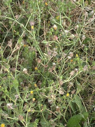

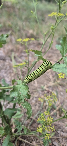

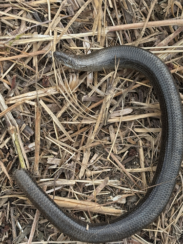
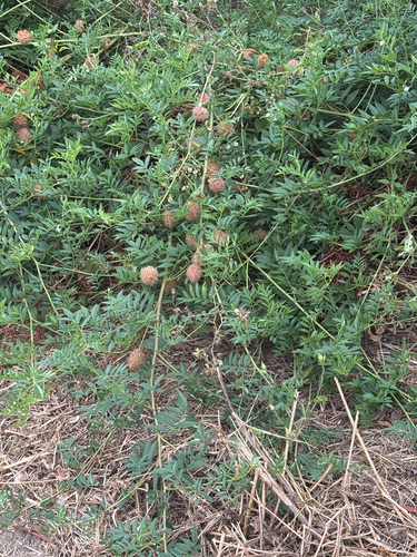
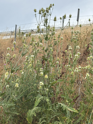
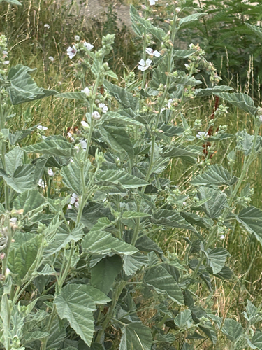
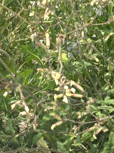
Research-grade observations from iNaturalist (within ~15 mi).
Events
Gallery
Sources
- • Wikipedia
- • Wikidata
- • iNaturalist
- • Open-Meteo / sunrise-sunset.org
- • Wikipedia Pageviews API