Browse / United States / Iowa / Davenport
Davenport
Iowacity

Davenport
Total population
100,948
Median home value
$179,800
Bachelor's+
Median income
$64,686
Founded
1836
Demographic figures from US Census Bureau · ACS 5-year estimates. Overview below cites Wikipedia and may reference a different year.
- Freeze Warning · SevereFreeze Warning issued October 16 at 8:43PM CDT until October 17 at 9:00AM CDT by NWS Quad Cities IA IL
Source: NOAA National Weather Service.
City facts
Sister cities
Facts from Wikidata (CC0).
Overview
Davenport is a city in Scott County, Iowa, United States, and its county seat. The population was 101,724 at the 2020 census, and was estimated at 100,938 in 2024, making it the third-most populous city in Iowa, after Des Moines and Cedar Rapids. It is situated along the Mississippi River on the eastern border of the state. Together with Bettendorf, Iowa; Rock Island, Illinois; Moline, Illinois; and East Moline, Illinois, Davenport is one of the five Quad Cities in Iowa and Illinois. It is the largest city in the Quad Cities area, which has a metropolitan area population of 384,324 and a Combined statistical area population of 474,019 in the 2020 census.
Read more on WikipediaHistory & geography
History
The land was originally inhabited by the Sauk, Meskwaki, and Ho-Chunk peoples. France laid claim to this territory as part of its New France and Illinois Country in the 18th century. Its traders and missionaries came to the area from Canada (Quebec), but it did not have many settlers here. After losing to Great Britain in the Seven Years' War, France ceded its territory east of the Mississippi River to the British and transferred the lands to the west to Spain. In 1803, France regained and sold its holdings in North America west of the Mississippi River to the United States under the Louisiana Purchase. Lieutenant Zebulon Pike was the first United States representative to officially visit the Upper Mississippi River area. On August 27, 1805, Pike camped on the present-day site of Davenport. In 1832, a group of Sauk, Meskwaki, and Kickapoo were defeated by the United States in the Black Hawk War. The United States government concluded the Black Hawk Purchase, sometimes called the Forty-Mile Strip or Scott's Purchase, by which the US acquired lands in what is now eastern Iowa. The purchase was made for $640,000 on September 21, 1832, and contained an area of some , at a price equivalent to 11 cents/acre ($26/km). Although named after the defeated chief Black Hawk, he was being held prisoner by the US. Sauk chief Keokuk, who had remained neutral in the war, signed off on the purchase. It was made on the site of present-day Davenport. Army General Winfield Scott and Governor of Illinois, John Reynolds, acted on behalf of the United States, with Antoine Le Claire, a mixed-race (Métis) man, serving as translator. He later was credited with founding Davenport. Chief Keokuk gave a generous portion of land to Antoine Le Claire's wife, Marguerite, the granddaughter of a Sauk…
Geography
According to the United States Census Bureau, the city has a total area of , of which is land and (3.2%) is water. Davenport is located approximately west of Chicago and east of the Iowa state capital of Des Moines. The city is located about north of St. Louis, Missouri, and southeast of Minneapolis, Minnesota. Farmland surrounds Davenport outside the Quad Cities area. Davenport is located on the banks of the Mississippi River. At this point the river has a maximum depth of around and is wide where the Centennial Bridge crosses it. The river flows from east to west in this area, as opposed to its usual north to south direction. From the river the city starts to slope north up a hill, which is steep at some points. The streets of the city, especially downtown and in the central part of the town, follow a grid design. Davenport often makes national headlines when it suffers seasonal flooding by the Mississippi River. Davenport residents prefer to maintain open access to the river for parks and vistas rather than have it cut off by dikes and levees. Davenport has adopted ordinances requiring any new construction in the floodplain to be elevated above the 100-year-flood level or protected with walls. As a result, former mayor Phil Yerington said that if they "let Mother Nature take her course, we'll all be better off". An example of a Davenport building that is elevated or flood-proofed is the Figge Art Museum. Under the Köppen climate classification, Davenport is considered to have a humid continental climate (Dfa). Summers are very warm to hot with high levels of humidity. Winters have cold temperatures and often high winds, with snow likely from November through February. Average snowfall in Davenport is per year. January is on average the coldest month,…
Excerpted from the corresponding Wikipedia article (CC BY-SA).
Demographics & economy
Race & ethnicity
Source: US Census Bureau — American Community Survey, 5-year estimates.
Geography
Coordinates & boundaries from the US Census TIGER/Line shapefiles.
Climate
Current forecast
Forecast for Davenport, IA from NOAA NWS API.
Air quality
Industrial & pollution facilities
Natural hazard risk
Health (adults)
Age-adjusted prevalence estimates from CDC PLACES (latest release).
Walkability
Amenities nearby
Wildlife & biodiversity
Most-observed species
- Northern CardinalCardinalis cardinalis (Linnaeus, 1758) · Aves8,485
- American RobinTurdus migratorius Linnaeus, 1766 · Aves7,368
- House SparrowPasser domesticus (Linnaeus, 1758) · Aves7,272
- Black-capped ChickadeePoecile atricapillus (Linnaeus, 1766) · Aves6,553
- Mourning DoveZenaida macroura (Linnaeus, 1758) · Aves6,403
- Downy WoodpeckerDryobates pubescens (Linnaeus, 1766) · Aves6,001
- Canada Goose (canadensis Group)Branta canadensis (Linnaeus, 1758) · Aves5,882
- Red-winged BlackbirdAgelaius phoeniceus (Linnaeus, 1766) · Aves5,736
Citizen-science & research observations from the Global Biodiversity Information Facility (GBIF).
Schools
Largest nearby schools
- Pleasant Valley High SchoolHigh · Bettendorf · 1,658 students · 17.6:1 ratio
- Central High SchoolHigh · Davenport · 1,505 students · 16.7:1 ratio
- Bettendorf High SchoolHigh · Bettendorf · 1,482 students · 15.1:1 ratio
- West High SchoolHigh · Davenport · 1,469 students · 16.7:1 ratio
- North High SchoolHigh · Davenport · 1,352 students · 17.6:1 ratio
- North Scott High SchoolHigh · Eldridge · 1,059 students · 17.1:1 ratio
- Bettendorf Middle SchoolMiddle · Bettendorf · 987 students · 13.9:1 ratio
- Hopewell ElementaryElementary · Bettendorf · 698 students · 16.2:1 ratio
Public K–12 schools within ~10 mi from Urban Institute Education Data Portal (NCES Common Core of Data, 2022).
Earthquake history
Events from the USGS Earthquake Catalog (global) (FDSN Event Web Service).
Photos
Sights & places nearby
Notable people from here


People born within ~10 km, from Wikidata (CC0). Click any name for their Wikipedia article.
Nearby places in Iowa
- Eldridge5.8 mi away · pop. 6,818
- Bettendorf6.6 mi away · pop. 39,647
- Panorama Park7.8 mi away · pop. 145
- Maysville8.7 mi away · pop. 220
- Argo10 mi away · pop. 28
- Le Claire12 mi away · pop. 4,735
- Montpelier12.6 mi away
- Stockton13.3 mi away
- Dixon15.8 mi away · pop. 190
- Durant16.3 mi away · pop. 1,946
- Calamus20.3 mi away · pop. 417
- Low Moor21.3 mi away · pop. 253
Geography & sun
Elevation, sunrise/sunset and daylight from Open-Meteo. Solar climatology from NASA POWER.
Nearby airports
Public attention
Pageview totals from the Wikimedia Pageviews API.
Books about Davenport


Search results from Open Library.
Recent natural events nearby
Ground air-quality sensors
Recently spotted species
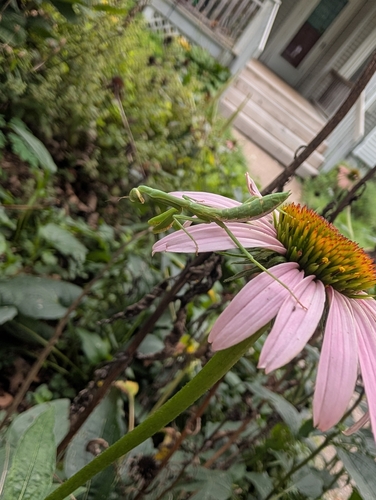
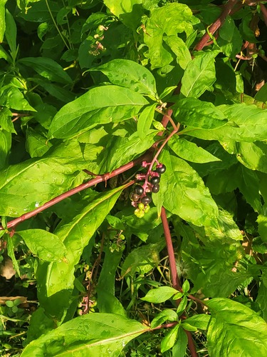
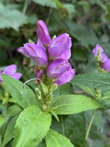
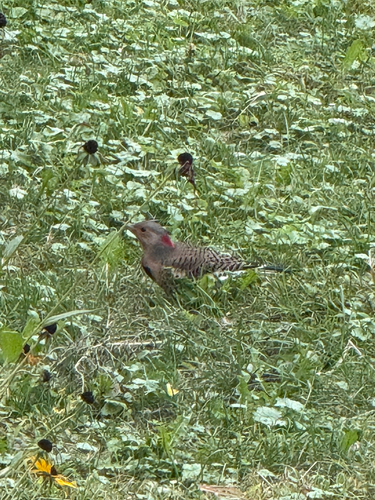
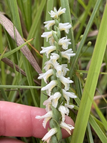
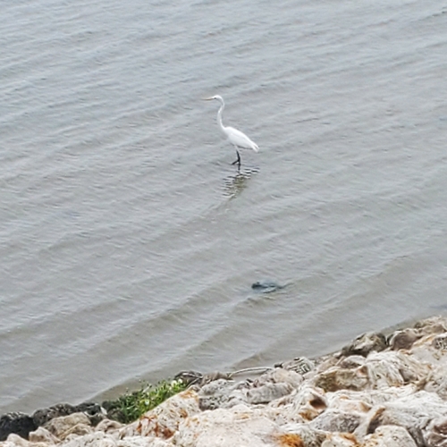
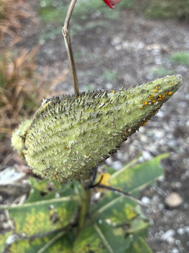
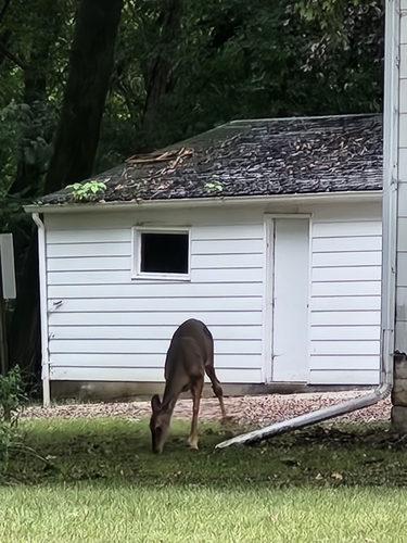
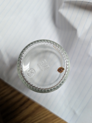
Research-grade observations from iNaturalist (within ~15 mi).
Nearest stream gauge
Events
Gallery
Sources
- • Wikipedia
- • US Census Bureau (ACS 5-year estimates)
- • NOAA National Weather Service
- • Wikidata
- • USGS Earthquake Catalog (global feed)
- • NCES via Urban Institute Education Data Portal
- • GBIF (Global Biodiversity Information Facility)
- • iNaturalist
- • CDC PLACES
- • Open-Meteo / sunrise-sunset.org
- • Wikipedia Pageviews API
- • Open Library