Browse / United States / Iowa / Newton
Newton
Iowacity

Newton
Total population
15,700
Median home value
$153,700
Bachelor's+
Median income
$57,771
Founded
1850
Demographic figures from US Census Bureau · ACS 5-year estimates. Overview below cites Wikipedia and may reference a different year.
City facts
Sister cities
Facts from Wikidata (CC0).
Overview
Newton is the county seat of and the most populous city in Jasper County, Iowa, United States. Located 30 miles (48 km) east of Des Moines, Newton is in Central Iowa. As of the 2020 Census, the city population was 15,760. It is the home of Iowa Speedway and Maytag Dairy Farms.
Read more on WikipediaHistory & geography
History
Newton was founded in 1846 as Newton City, then shortened to Newton in 1847 and incorporated as a city in 1857. It was named to pair with Jasper County, following a common American naming scheme at the time in honor of Revolutionary War soldiers John Newton and William Jasper. In the late 19th century, Newton's growth was fueled by the development of coal mines in the region. The first significant mine in the area was the Couch mine of the Jasper County Coal and Railway Company, opened in the 1870s. For a while, it was the largest mine in the county, producing 70 tons per day. William Snooks opened a mine near Newton in 1886. In the early 20th century, large scale mining in the Newton area had declined, but there were still several mines in the area that were worked intermittently. In the 20th century, Newton was a manufacturing community, much of its growth derived from the washing machine industry. Its most distinctive landmark, the Jasper County Courthouse, was built in 1911. Newton entered the national stage in 1938 when martial law was declared during a strike at the Maytag Washing Machine Company. Iowa governor Nelson Kraschel ordered the Iowa National Guard to protect the company with tanks and machine guns ready against the workers. With the backing of four troops (companies) of the 113th Cavalry Regiment, Maytag company beat the strike and forced workers to return to work with a 10% pay cut. At the conclusion of World War II, the Maytag Washing Machine Company expanded its operations in Newton, becoming the Maytag Corporation. Known for its dependable line of washing machines and clothes dryers, the company later persuaded the town of Newton to change the name of its headquarters address in the city to "One Dependability Square." In 2001, a decision to cut…
Geography
According to the United States Census Bureau, the city has a total area of , all land. Newton is divided into four quadrants: 1st Avenue divides the north and south segments of Newton, and 1st Street divides the east and west segments. Roads labeled as avenues run east and west, while roads labeled as streets run north and south. Newton's street numbering system also extends into rural Jasper County. A typical street name would appear "E 5th St S". The east or west label comes first, followed by the street, then followed by the north or south label. This example indicates the street is in the southeast quadrant of Newton. A typical avenue name would appear "N 5th Ave W". In the case of avenues, the north or south label comes first, followed by the avenue, and then followed by the east or west label. This example indicates the avenue is in the northwest quadrant of Newton. All addresses within Newton fall within the 50208 ZIP Code.
Excerpted from the corresponding Wikipedia article (CC BY-SA).
Demographics & economy
Race & ethnicity
Source: US Census Bureau — American Community Survey, 5-year estimates.
Geography
Coordinates & boundaries from the US Census TIGER/Line shapefiles.
Climate
Current forecast
Forecast for Newton, IA from NOAA NWS API.
Air quality
Industrial & pollution facilities
Natural hazard risk
Health (adults)
Age-adjusted prevalence estimates from CDC PLACES (latest release).
Walkability
Amenities nearby
Wildlife & biodiversity
Most-observed species
- Red-winged BlackbirdAgelaius phoeniceus (Linnaeus, 1766) · Aves934
- American RobinTurdus migratorius Linnaeus, 1766 · Aves761
- Turkey VultureCathartes aura (Linnaeus, 1758) · Aves747
- American GoldfinchSpinus tristis (Linnaeus, 1758) · Aves703
- Northern CardinalCardinalis cardinalis (Linnaeus, 1758) · Aves676
- Blue JayCyanocitta cristata (Linnaeus, 1758) · Aves568
- Mourning DoveZenaida macroura (Linnaeus, 1758) · Aves539
- House SparrowPasser domesticus (Linnaeus, 1758) · Aves528
Citizen-science & research observations from the Global Biodiversity Information Facility (GBIF).
Schools
Largest nearby schools
- Berg Middle SchoolMiddle · Newton · 841 students · 14:1 ratio
- Newton Senior High SchoolHigh · Newton · 818 students · 17:1 ratio
- Colfax-Mingo Jr/Sr High SchoolHigh · Colfax · 333 students · 12.3:1 ratio
- Thomas Jefferson Elementary SchoolElementary · Newton · 325 students · 13:1 ratio
- Woodrow Wilson Elementary SchoolElementary · Newton · 272 students · 14.3:1 ratio
- Aurora Heights Elementary SchoolElementary · Newton · 268 students · 12.8:1 ratio
- Emerson Hough Elementary SchoolElementary · Newton · 224 students · 11.2:1 ratio
- WEST Academy Alternative SchoolHigh · Newton · 61 students · 10.2:1 ratio
Public K–12 schools within ~10 mi from Urban Institute Education Data Portal (NCES Common Core of Data, 2022).
Earthquake history
Most recent
- M 2.5 — 2025-06-2510 km WNW of Marysville, Iowa
- M 3 — 2025-06-255 km S of Knoxville, Iowa
- M 3.3 — 2025-06-258 km SE of Knoxville, Iowa
Events from the USGS Earthquake Catalog (global) (FDSN Event Web Service).
Photos
Sights & places nearby
Notable people from here
Nearby places in Iowa
- Colfax10.2 mi away · pop. 2,210
- Monroe12.7 mi away · pop. 2,120
- Laurel14.3 mi away
- Grinnell16.5 mi away · pop. 9,505
- Haverhill17.6 mi away · pop. 142
- Gilman18.1 mi away · pop. 623
- Runnells20.8 mi away · pop. 440
- Bondurant21.5 mi away · pop. 8,560
- Maxwell22.7 mi away · pop. 905
- Marshalltown24.4 mi away · pop. 27,626
- Hartford25 mi away · pop. 760
- New Sharon25.5 mi away · pop. 1,180
Geography & sun
Elevation, sunrise/sunset and daylight from Open-Meteo. Solar climatology from NASA POWER.
Nearby airports
Public attention
Pageview totals from the Wikimedia Pageviews API.
Books about this place
Recent natural events nearby
Ground air-quality sensors
Recently spotted species
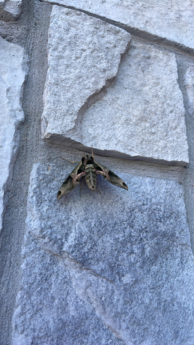
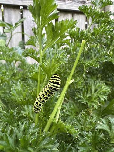
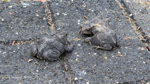
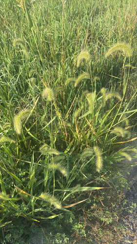
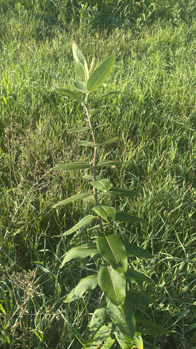
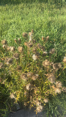
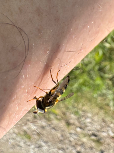
Research-grade observations from iNaturalist (within ~15 mi).
Nearest stream gauge
Events
Gallery
Sources
- • Wikipedia
- • US Census Bureau (ACS 5-year estimates)
- • NOAA National Weather Service
- • Wikidata
- • USGS Earthquake Catalog (global feed)
- • NCES via Urban Institute Education Data Portal
- • GBIF (Global Biodiversity Information Facility)
- • iNaturalist
- • CDC PLACES
- • Open-Meteo / sunrise-sunset.org
- • Wikipedia Pageviews API