Browse / Ireland / Louth / Annagassan
Annagassan
Louthvillage

Annagassan
Demographic figures from Central Statistics Office (Ireland). Overview below cites Wikipedia and may reference a different year.
City facts
Overview
Annagassan is a village in the townland of Ballynagassan, County Louth, Ireland. It sits where the River Glyde enters the Irish Sea. It is approximately 13 km south of Dundalk and 18 km north of Drogheda. As of the 2022 census, Annagassan had a population of 189 people.
Read more on WikipediaHistory & geography
History
Annagassan was first mentioned as Linn Duachaill in AD 841 when the establishment of a Viking longphort was recorded. It is unclear whether the longphort at Annagassan continued under the Dublin Viking regime after 852 since the location is not mentioned for seventy years. The longphort is estimated to have been 1.18 kilometres from north to south. Within this area, the earthwork of Lisnarann may have acted as the citadel. The first material evidence of a Viking presence was a honestone discovered during a field survey of the site in a field near a laneway off Castlebellingham. The longphort itself was discovered in 2010 during a small research excavation. In 827, the Annals of Ulster record that the Vikings attacked the Ciannachta people of Louth and north Meath. These early raids were sporadic coastal attacks by small seaborne forces; however, from the 830s, a new phase was characterised by larger fleets, which penetrated up navigable rivers and plundered extensive inland areas. Annagassan was once as important as the Viking settlement at Dubh Linn (The Black Pool). The modern village is generally believed to be built on what some archaeologists consider to be a man-made polder structure, constructed to provide shelter for the fjord. The original settlement was located further upstream; navigation was considerably easier on the River Glyde in the 9th century before the intervening build-up of sediment.
Excerpted from the corresponding Wikipedia article (CC BY-SA).
Geography
Coordinates & boundaries from the US Census TIGER/Line shapefiles.
Climate
Air quality
Walkability
Amenities nearby
Wildlife & biodiversity
Most-observed species
- Hooded CrowCorvus cornix Linnaeus, 1758 · Aves1,031
- Herring GullLarus argentatus Pontoppidan, 1763 · Aves1,020
- Black-headed GullChroicocephalus ridibundus (Linnaeus, 1766) · Aves960
- Common Wood-PigeonColumba palumbus Linnaeus, 1758 · Aves902
- RookCorvus frugilegus Linnaeus, 1758 · Aves901
- Eurasian OystercatcherHaematopus ostralegus Linnaeus, 1758 · Aves881
- Eurasian CurlewNumenius arquata (Linnaeus, 1758) · Aves818
- Common RedshankTringa totanus (Linnaeus, 1758) · Aves790
Citizen-science & research observations from the Global Biodiversity Information Facility (GBIF).
Earthquake history
Events from the USGS Earthquake Catalog (global) (FDSN Event Web Service).
Photos
Sights & places nearby
Notable people from here

People born within ~10 km, from Wikidata (CC0). Click any name for their Wikipedia article.
Nearby places in Louth
Geography & sun
Elevation, sunrise/sunset and daylight from Open-Meteo. Solar climatology from NASA POWER.
Nearby airports
Public attention
Pageview totals from the Wikimedia Pageviews API.
Books about this place
Recent natural events nearby
Ground air-quality sensors
Recently spotted species
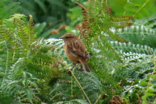
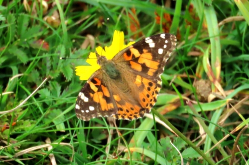
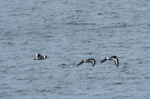
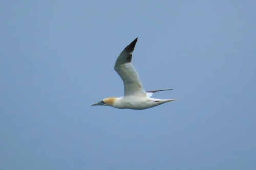
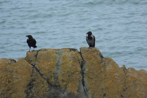
Research-grade observations from iNaturalist (within ~15 mi).
Events
Gallery
Official Identifiers
Logainm — Placenames Database of Ireland
- Logainm ID
- 132301
- Population (Wikidata)
- 189
- Wikidata
- Q2850660
Logainm ID via Wikidata P5097
Sources
- • Wikipedia
- • Wikidata
- • USGS Earthquake Catalog (global feed)
- • GBIF (Global Biodiversity Information Facility)
- • iNaturalist
- • Open-Meteo / sunrise-sunset.org
- • Wikipedia Pageviews API
- • Logainm — Placenames Database of Ireland — Logainm ID via Wikidata P5097