Browse / Ireland / Louth / Castlebellingham
Castlebellingham
Louthvillage

Castlebellingham
Demographic figures from Central Statistics Office (Ireland). Overview below cites Wikipedia and may reference a different year.
City facts
Overview
Castlebellingham is a village and townland in County Louth, Ireland. The population of Castlebellingham-Kilsaran increased from 721 inhabitants as of the 2002 census to 1,126 people as of the 2016 census.
Read more on WikipediaHistory & geography
History
Evidence of ancient settlement in the area include fulacht fiadh, fosse (ring ditch) and a motte and bailey site in the surrounding townlands of Castlebellingham, Greenmount and Kilsaran. A religious house in Kilsaran townland, of which no trace is visible and which had a reputed association with the Knights Templar, is recorded in some texts. From at least 1301, the area was known as Gernonstown (also spelled Gernoun or Garland), a reference to the prominent Anglo-Norman family which had significant lands in County Louth. It is believed the name originated from Montfiquet in Normandy. The surname is derived from the old French word gernon, meaning "moustache", likely a nickname for an ancestor. The castle of Castlebellingham served as one of the ancestral homes of members of the eponymous Bellingham family from the 17th century to the mid-20th century. The family originated in the small town of Kendal, Westmorland in England. The original ancestor of the Irish Bellinghams, Alan Bellingham, hailed from here. Henry Bellingham (d.1676), a descendant of Alan was a cavalry officer who first came to Ireland during the English Civil War. The lands of Gernonstown were granted to Henry during the Cromwellian Settlement, in which a large amount of native Irish lands were given to Englishmen in reward for their service. Henry is named in the list of grantees under the Acts of Settlement and Explanation of Charles II s. In 1666, Charles II formally granted the lands to him for his ‘faithful service as a good soldier in the late wars’. The castle was rebuilt by Thomas Bellingham in the 1690s following the first castle's destruction by Jacobites during the Williamite War in Ireland. The calvary near the castle was built by Sir Alan Henry Bellingham (1846–1921) in memory of his…
Excerpted from the corresponding Wikipedia article (CC BY-SA).
Geography
Coordinates & boundaries from the US Census TIGER/Line shapefiles.
Climate
Air quality
Walkability
Amenities nearby
Wildlife & biodiversity
Earthquake history
Photos
Sights & places nearby
Notable people from here


People born within ~10 km, from Wikidata (CC0). Click any name for their Wikipedia article.
Nearby places in Louth
Geography & sun
Elevation, sunrise/sunset and daylight from Open-Meteo. Solar climatology from NASA POWER.
Nearby airports
Public attention
Pageview totals from the Wikimedia Pageviews API.
Books about Castlebellingham
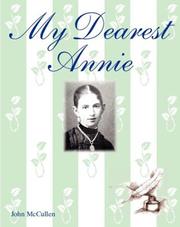
Search results from Open Library.
Recent natural events nearby
Ground air-quality sensors
Recently spotted species
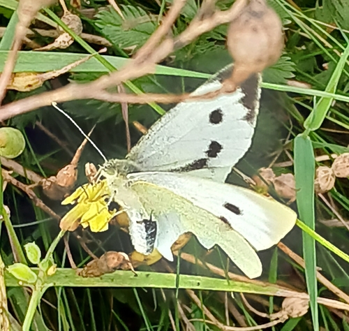
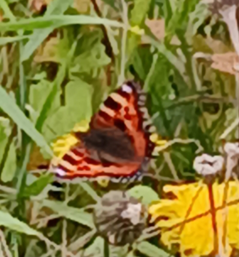
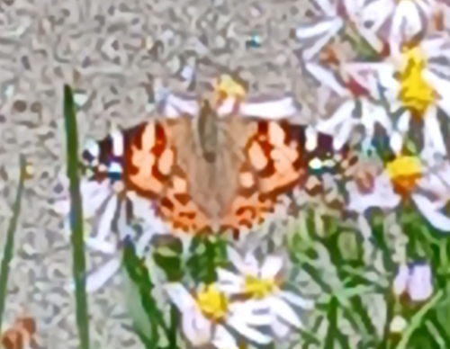
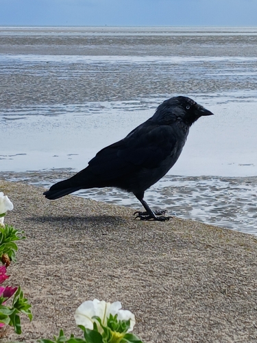
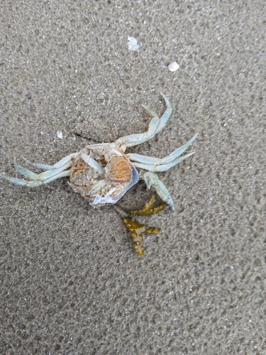
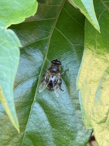
Research-grade observations from iNaturalist (within ~15 mi).
Events
Gallery
Sources
- • Wikipedia
- • Wikidata
- • iNaturalist
- • Open-Meteo / sunrise-sunset.org
- • Wikipedia Pageviews API
- • Open Library