Browse / Ireland / Louth / Ardee
Ardee
Louthtown

Ardee
Demographic figures from Central Statistics Office (Ireland). Overview below cites Wikipedia and may reference a different year.
City facts
Sister cities
Facts from Wikidata (CC0).
Overview
Ardee is a town and townland in County Louth, Ireland. It is located at the intersection of the N2, N52, and N33 roads. The town shows evidence of development from the thirteenth century onward but as a result of the continued development of the town since then much of the fabric of the medieval town has been removed. The town is in a civil parish of the same name.
Read more on WikipediaHistory & geography
History
Originally called Atherdee, the town's name is from (the Ford of Ferdia) which itself is derived from the fabled four-day battle between Cúchulainn and Ferdia, for the defence of Ulster from Queen Maeve of Connacht. It is said Ferdia fell after four days of battle, and is buried on the southern banks of the river alongside the Riverside Walk. A depiction of the pair is located on Bridge Street in the town as a bronze statue. The River Dee was originally named in but took on the final element of the town's name in English usage. Ardee is an example of a medieval "walled town", a number of which can be found across Ireland. The town itself is situated in the ancient territory known as Crích Rois or Fir Rois. The town lies along the 15th-century Pale frontier between Dundalk and Kells. The town comprises the townlands or town parks – the greater portion of which is made up of Ardee bog, and a small portion of Dawson's Demesne, which takes in the southeastern quadrant of the town on the northern side of the River Dee. Ardee received its royal charter from King Henry V in 1414. A philanthropic trust founded by Erasmus Smith in the 17th century funded the establishment of a boys' school in 1806 and a girls' school in 1817. Both Protestant and Catholic children were allowed to attend. At the time there were other schools but in 1824 they became the sole schools in the area. The Smith schools amalgamated into a combined-sex establishment by 1858, by which time the National School movement was leading to the creation of denominational schools there. The school remained a non-denominational institute but the school decreased in numbers and in 1868 had a roll of only 16 Protestant boys. It was fully integrated into the National School system in 1954, when it became known…
Excerpted from the corresponding Wikipedia article (CC BY-SA).
Geography
Coordinates & boundaries from the US Census TIGER/Line shapefiles.
Climate
Air quality
Walkability
Amenities nearby
Wildlife & biodiversity
Earthquake history
Photos
Sights & places nearby
Notable people from here


People born within ~10 km, from Wikidata (CC0). Click any name for their Wikipedia article.
Nearby places in Louth
Geography & sun
Elevation, sunrise/sunset and daylight from Open-Meteo. Solar climatology from NASA POWER.
Nearby airports
Public attention
Pageview totals from the Wikimedia Pageviews API.
Books about Ardee
Search results from Open Library.
Recent natural events nearby
Ground air-quality sensors
Recently spotted species
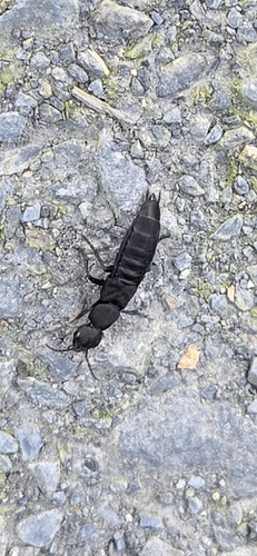
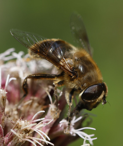
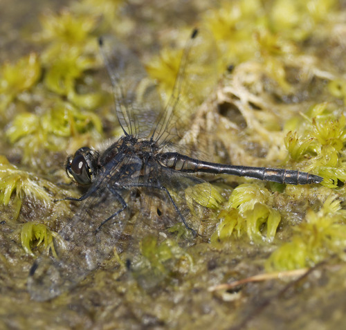
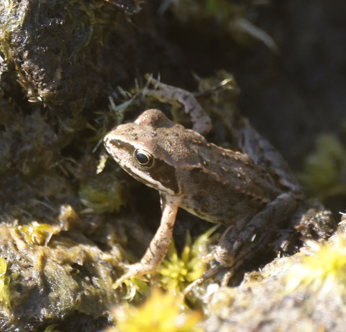
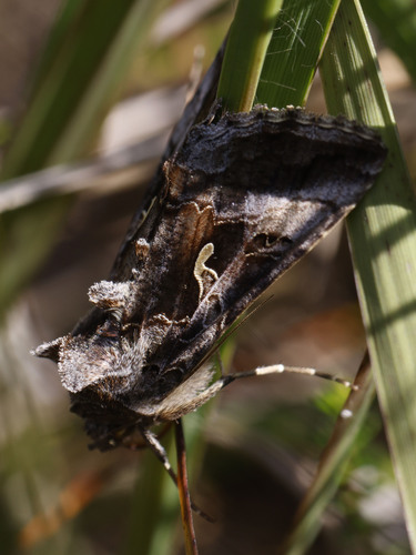
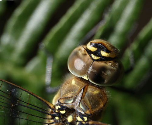
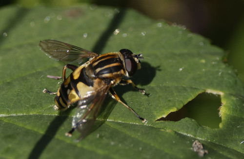

Research-grade observations from iNaturalist (within ~15 mi).
Events
Gallery
Sources
- • Wikipedia
- • Wikidata
- • iNaturalist
- • Open-Meteo / sunrise-sunset.org
- • Wikipedia Pageviews API
- • Open Library