Browse / Ireland / Louth / Knockbridge
Knockbridge
Louthvillage

Knockbridge
Demographic figures from Central Statistics Office (Ireland). Overview below cites Wikipedia and may reference a different year.
City facts
Facts from Wikidata (CC0).
Overview
Knockbridge is a village in County Louth, Ireland. 7 km south-west of Dundalk, it is in the townland of Ballinlough in the historical barony of Dundalk Upper. As of the 2022 census, the village had a population of 759 people. Knockbridge won a "best kept village" award in the 2008 Tidy Towns competition.
Read more on WikipediaHistory & geography
History
The village may take its name from "Cnoic Bhríde" - Bridget's Hill - reputed to be a site connected with local Saint Bridget. It may also take its name from "Droichead an Chnoic" - Bridge of the hill - after a bridge over the nearby River Fane. Clochafarmore, where the legendary hero Cú Chulainn is reputed to have died, is also nearby.
Excerpted from the corresponding Wikipedia article (CC BY-SA).
Geography
Coordinates & boundaries from the US Census TIGER/Line shapefiles.
Climate
Air quality
Walkability
Amenities nearby
Wildlife & biodiversity
Earthquake history
Photos
Sights & places nearby
Notable people from here


People born within ~10 km, from Wikidata (CC0). Click any name for their Wikipedia article.
Nearby places in Louth
Geography & sun
Nearby airports
Public attention
Books about this place
Recent natural events nearby
Ground air-quality sensors
Recently spotted species
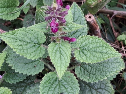
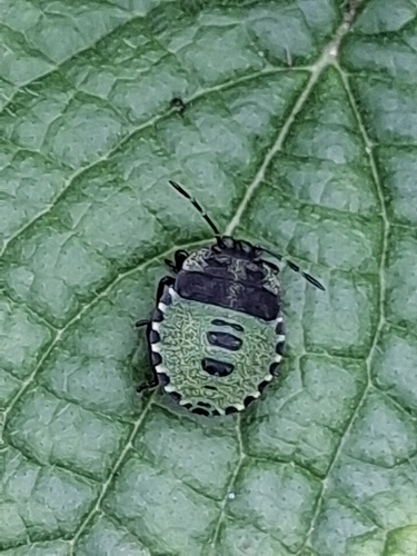
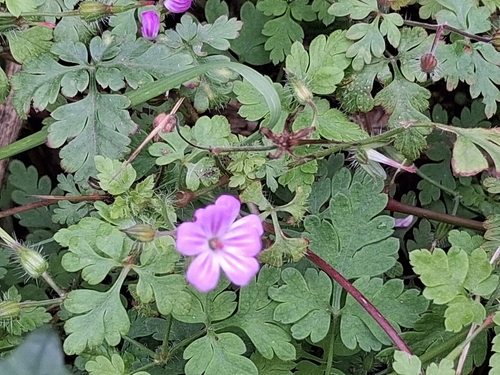
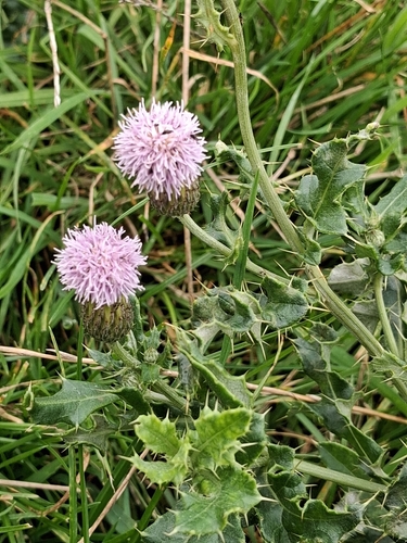
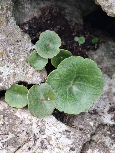
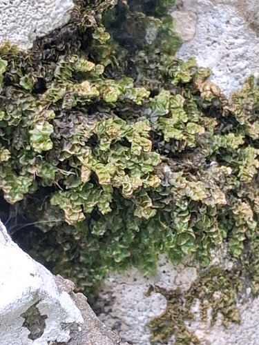
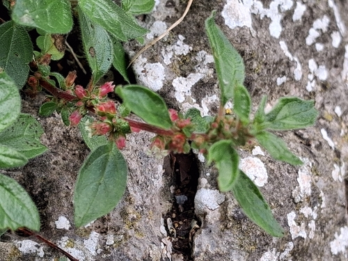
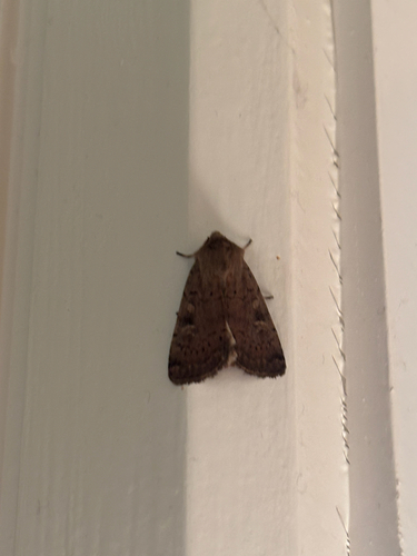
Research-grade observations from iNaturalist (within ~15 mi).
Events
Gallery
Official Identifiers
Logainm — Placenames Database of Ireland
- Logainm ID
- 126032
- Wikidata
- Q3776364
Logainm ID via Wikidata P5097
Sources
- • Wikipedia
- • Wikidata
- • iNaturalist
- • Logainm — Placenames Database of Ireland — Logainm ID via Wikidata P5097