Browse / Ireland / Louth / Dundalk
Dundalk
Louthtown

Dundalk
Total population
43,112
Demographic figures from Central Statistics Office (Ireland). Overview below cites Wikipedia and may reference a different year.
City facts
Facts from Wikidata (CC0).
Overview
Dundalk is the county town of County Louth in the province of Leinster, Ireland. The town is situated on the Castletown River, which flows into Dundalk Bay on the east coast of Ireland, and is halfway between Dublin and Belfast, 7 km (4.3 mi) south of the border between the Republic of Ireland and Northern Ireland. It is surrounded by several townlands and villages that form the wider Dundalk Municipal District.
Read more on WikipediaHistory & geography
History
Dundalk is an anglicisation of that was adopted by the first Norman settlers of the area in the 12th century. It means "the fort of Dealgan" (Dún being a type of medieval fort and Delga being the name of a mythical Fir Bolg Chieftain). The site of Dún Dealgan is traditionally associated with the ringfort known to have existed at Castletown Mount before the arrival of the Normans. The first mention of Dundalk in historical sources appears in the Annals of Ulster, which record that Brian Boru met the King of Ulster at "Dún Delgain" in 1002 to demand submission. 12th century versions of the Táin Bó Cúailnge feature "Delga in Muirtheimne". The manor house built by Bertram de Verdon at Castletown Mount on the site of the earlier settlement is referred to as the "Castle of Dundalc" in the 12th century records of the Gormanston Register. Archaeological studies at Rockmarshall on the Cooley peninsula indicate that the Dundalk district was first inhabited circa 3700 BC during the Neolithic period. Pre-Christian archaeological sites in the Dundalk Municipal District include the Proleek Dolmen (a portal tomb) in Ballymascanlon, which dates to around 3000 BC, the nearby "Giant's Grave" (a wedge-shaped gallery grave), Rockmarshall Court Tomb (a court cairn), and Aghnaskeagh Cairns (a chambered cairn and portal tomb). The legends of Cú Chulainn, including the Táin Bó Cúailnge (The Cattle Raid of Cooley), an epic of early Irish literature, are set in the first century AD, before the arrival of Christianity to Ireland. Clochafarmore, the menhir that Cú Chulainn reputedly tied himself to before he died, is located to the west of the town, near Knockbridge. Saint Brigid is reputed to have been born in 451 AD in Faughart. A shrine to her is located at Faughart. St Brigid's Church in…
Geography
Dundalk lies on the 54th parallel north circle of latitude. It is situated where the Castletown River flows into Dundalk Bay on the east coast of Ireland, with the town centre on the south side of the river. It is in County Louth, which shares borders with County Armagh to the north (in Northern Ireland), County Monaghan to the west, and County Meath to the south. It is near the border with Northern Ireland (which is from the town centre by road and at the nearest points by air), and is equidistant between Dublin and Belfast ( from both). The town came to be nicknamed the 'Gap of the North' where the northernmost point of the province of Leinster meets the province of Ulster (although the actual 'gap' is the Moyry Pass 8 km to the north at the border with Northern Ireland). The municipal district includes the Cooley Mountains, with Slieve Foy the highest of the peaks at an elevation of . The urban area straddles two geographical areas. A landscape of drumlins and undulating farmland form a crescent around the town's outer limits. This area contains contorted Ordovician and Silurian slates and shales. The flat, low-lying coastal plain of the main part of the urban area consists of alluvial clays, laid down as the sea retreated following the last Ice Age. Land was reclaimed both naturally and because of the drainage schemes undertaken in the 18th century by James Hamilton, the first Earl of Clanbrassil. This has meant that the topography of the district has changed extensively since the area was first inhabited and also since the formation of the original Norman settlements. The layout of Dundalk is based around three principal street systems leading to the open, central Market Square. Clanbrassil Street and Bridge Street run north from the square to the bridge…
Excerpted from the corresponding Wikipedia article (CC BY-SA).
Geography
Coordinates & boundaries from the US Census TIGER/Line shapefiles.
Climate
Air quality
Walkability
Amenities nearby
Wildlife & biodiversity
Earthquake history
Photos
Sights & places nearby
Notable people from here
Nearby places in Louth
Geography & sun
Elevation, sunrise/sunset and daylight from Open-Meteo. Solar climatology from NASA POWER.
Nearby airports
Public attention
Pageview totals from the Wikimedia Pageviews API.
Books about Dundalk

Search results from Open Library.
Recent natural events nearby
Ground air-quality sensors
Recently spotted species
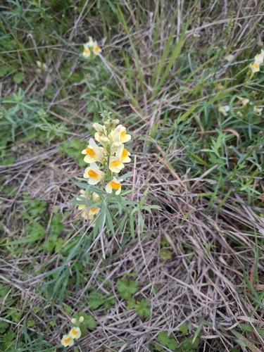
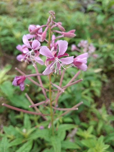
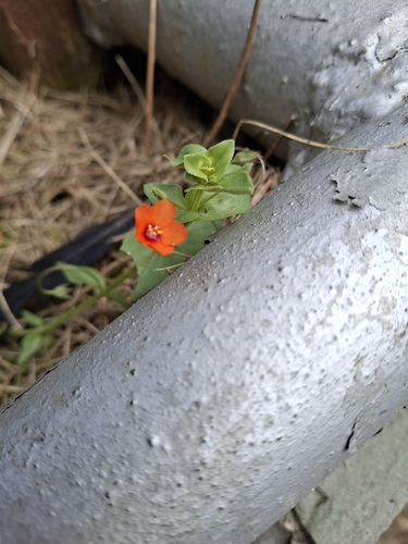
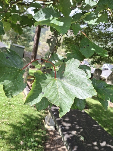
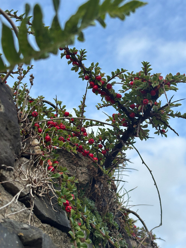
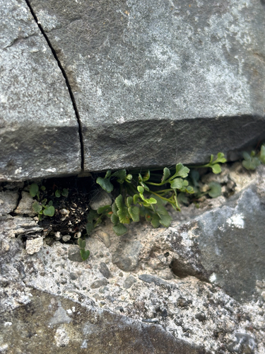
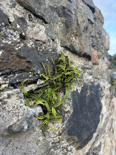
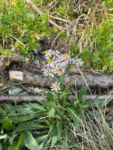
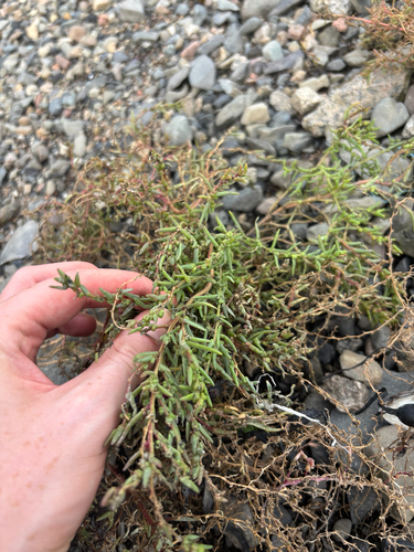
Research-grade observations from iNaturalist (within ~15 mi).
Events
Gallery
Sources
- • Wikipedia
- • Wikidata
- • iNaturalist
- • Open-Meteo / sunrise-sunset.org
- • Wikipedia Pageviews API
- • Open Library