Browse / Ireland / Mayo / Aughagower
Aughagower
Mayovillage

Aughagower
Demographic figures from Central Statistics Office (Ireland). Overview below cites Wikipedia and may reference a different year.
City facts
Facts from Wikidata (CC0).
Overview
Aughagower or Aghagower is a small village in rural County Mayo in western Ireland. It is 6 km south-east of Westport. Aughagower has around forty houses, a pub and a shop, with a clear view of Croagh Patrick from Reek View. It is also at the centre of Aghagower civil parish which covers an area of 86.1 square miles. The village is known for its links to Saint Patrick and Tóchar Phádraig, the pilgrimage route from Ballintubber Abbey to Croagh Patrick, and its round tower.
Read more on WikipediaHistory & geography
History
Aughagower came to prominence in 441 when Saint Patrick founded a church and bishopric, and placed over it Bishop Senach; the Book of Armagh states that bishops still dwelt there in the time of the writer (early part of the ninth century). Senach was one of Saint Patrick's closest followers, originally from Armagh, who traveled with him to Aughagower and Croagh Patrick as part of his household. Saint Patrick is recorded as having stayed in Aughagower where he built a church and anointed the parish's first bishop, Senach, on his journey to Croagh Patrick. Aughagower lies mid-way along Tóchar Phádraig, formerly a part of the royal processional route from Cruachan (the ancient capital of Connacht), and later an important pilgrimage route from Ballintubber Abbey to Croagh Patrick. Senach founded a church, and his daughter Mathona, a nunnery. These were situated approximately 100 yards north of the medieval round tower and abbey, alongside the 'Temple of the Teeth' the site of an earlier stone church, presumed to have been built atop an original wooden church founded by Saint Patrick. Since its formation by Saint Patrick as a bishopric in the 5th century, Aughagower represented one of the most populous and influential parishes in Umhaill. The jurisdiction of Aughagower extended over the "Owles", the territory around Clew Bay, comprising the modern deanery of Westport. But after several centuries these churches and their lands were absorbed first into the Diocese of Mayo and afterwards granted to the Archbishop of Tuam. The importance of the parish was still evident six centuries after Saint Patrick departed, as seen when in 1215 competing claims by the Archbishops of Tuam and Armagh to the church and lands of Aughagower arose, with Pope Innocent in Rome being called upon…
Excerpted from the corresponding Wikipedia article (CC BY-SA).
Geography
Coordinates & boundaries from the US Census TIGER/Line shapefiles.
Climate
Air quality
Walkability
Amenities nearby
Wildlife & biodiversity
Earthquake history
Photos
Sights & places nearby
Notable people from here


People born within ~10 km, from Wikidata (CC0). Click any name for their Wikipedia article.
Nearby places in Mayo
- St. Francisville3744.8 mi away
- Monticello3765.5 mi away
- Memphis3766.5 mi away
- Portage Des Sioux3770.2 mi away
- Saverton3771.4 mi away
- Old Jamestown3772.6 mi away
- Louisiana3773.3 mi away
- Black Jack3773.5 mi away
- Palmyra3773.9 mi away
- Bellefontaine Neighbors3774.4 mi away
- Moline Acres3775.3 mi away
- Elsberry3775.9 mi away
Geography & sun
Elevation, sunrise/sunset and daylight from Open-Meteo. Solar climatology from NASA POWER.
Nearby airports
Public attention
Pageview totals from the Wikimedia Pageviews API.
Books about this place
Recent natural events nearby
Ground air-quality sensors
Recently spotted species
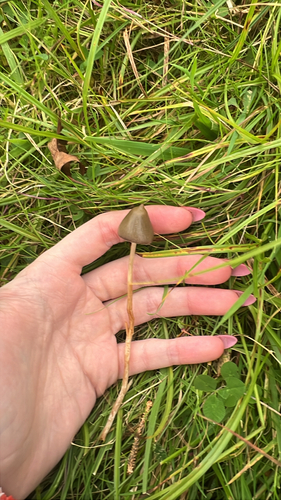

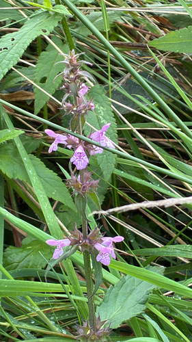
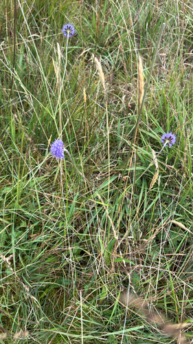
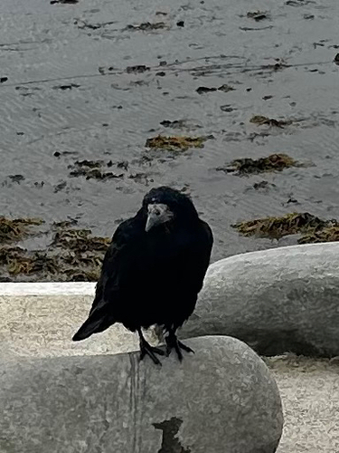

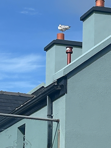
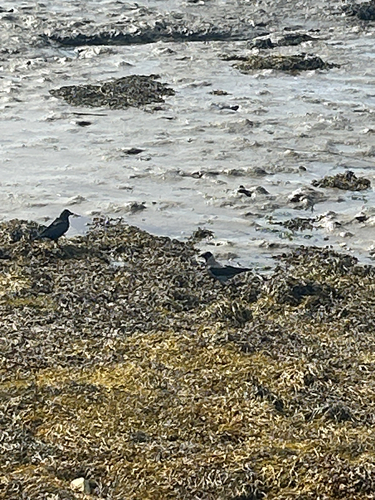
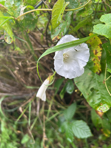
Research-grade observations from iNaturalist (within ~15 mi).
Events
Gallery
Sources
- • Wikipedia
- • Wikidata
- • iNaturalist
- • Open-Meteo / sunrise-sunset.org
- • Wikipedia Pageviews API