Browse / Ireland / Tipperary / Ballingarry
Ballingarry
Tipperaryvillage

Ballingarry
Demographic figures from Central Statistics Office (Ireland). Overview below cites Wikipedia and may reference a different year.
City facts
Facts from Wikidata (CC0).
Overview
Ballingarry is a village and civil parish in County Tipperary, Ireland. Ballingarry is one of 19 civil parishes in the barony of Slievardagh, and also the name of an ecclesiastical parish in the Roman Catholic Archdiocese of Cashel and Emly. Ballingarry village is situated near the County Kilkenny border on route R691 in the Slieveardagh range. Historically, the area was associated with the coal mining industry.
Read more on WikipediaHistory & geography
History
Ballingarry is best known for the rebellion that broke out there on 29 July 1848 against British rule. The site of this uprising, the McCormack House, known also as the Warhouse (officially Famine Warhouse 1848) has since been designated as a national memorial and historical building by the State. It was here during the ill-fated rebellion that the national tricolour of green, white and orange was unfurled for the first time by the rebels, led by William Smith O'Brien, thus emulating the French rebels who also took to the streets with their tricolour for the first time earlier that year. Sub-Inspector Trant and 46 other local policemen took refuge from the rebels in a large two-story farmhouse, taking the five young children in the house as hostages. They barricaded themselves in, pointing their guns from the windows. The house was surrounded by the rebels and a stand-off ensued. Mrs. Margaret McCormack, the owner of the house and mother of the children, demanded to be let into her house, but the police refused and would not release the children. Mrs. McCormack found O'Brien reconnoitring the house from the out-buildings, and asked him what was to become of her children and her house. O'Brien and Mrs. McCormack went up to the parlour window of the house to speak to the police. Through the window, O'Brien stated, "We are all Irishmen—give up your guns and you are free to go." O'Brien shook hands with some of the police through the window. The initial report to the Lord Lieutenant of Ireland stated that a constable fired the first shot at O'Brien, who was attempting to negotiate. General firing then ensued between the police and the rebels. O'Brien had to be dragged out of the line of fire by James Stephens and Terence Bellew MacManus, both of whom were wounded. As…
Excerpted from the corresponding Wikipedia article (CC BY-SA).
Geography
Coordinates & boundaries from the US Census TIGER/Line shapefiles.
Climate
Air quality
Walkability
Amenities nearby
Wildlife & biodiversity
Earthquake history
Photos
Sights & places nearby
Notable people from here


People born within ~10 km, from Wikidata (CC0). Click any name for their Wikipedia article.
Nearby places in Tipperary
Geography & sun
Elevation, sunrise/sunset and daylight from Open-Meteo. Solar climatology from NASA POWER.
Nearby airports
Public attention
Pageview totals from the Wikimedia Pageviews API.
Books about this place
Recent natural events nearby
Ground air-quality sensors
Recently spotted species
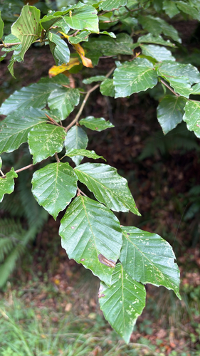
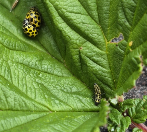
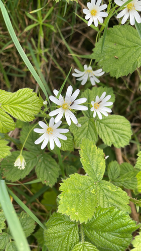
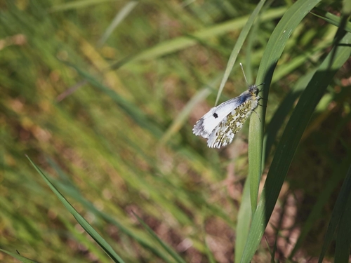
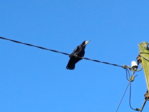
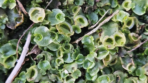
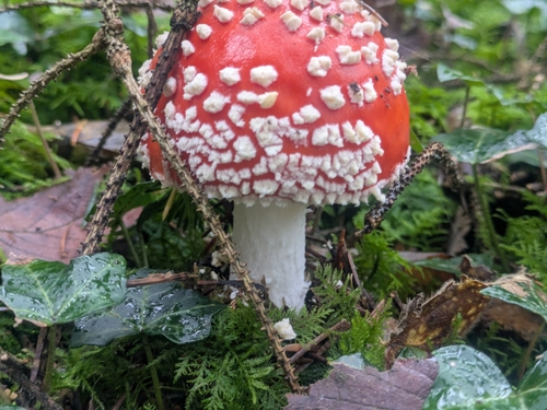
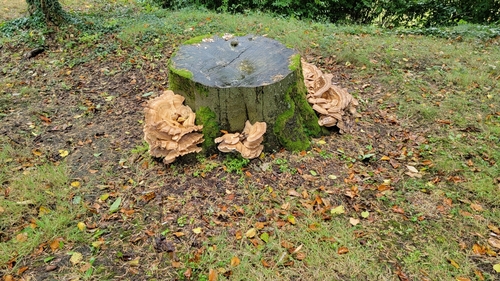
Research-grade observations from iNaturalist (within ~15 mi).
Events
Gallery
Sources
- • Wikipedia
- • Wikidata
- • iNaturalist
- • Open-Meteo / sunrise-sunset.org
- • Wikipedia Pageviews API