Browse / Ireland / Tipperary / Mullinahone
Mullinahone
Tipperaryvillage

Mullinahone
Demographic figures from Central Statistics Office (Ireland). Overview below cites Wikipedia and may reference a different year.
City facts
Overview
Mullinahone is a village located in the barony of Slievardagh, County Tipperary in Ireland. It is also a parish in the Roman Catholic Archdiocese of Cashel and Emly. As of 2016, the village population was 499.
Read more on WikipediaHistory & geography
History
The name of Mullinahone appears first as a settlement in the records of the "Hearth Money Rolls" in the years 1665 to 1667, then spelled as Moninehoan. The "Hearth Money Rolls" were a rent or tax on houses in the post-Cromwellian period. It was entered as a village or settled area of nine 'cabbins' with hearths, that is, permanent structures, which were not very common then, it appears after the wars of the time. Just across the river (a tributary of the River Anner) was the main village of Killaghy, in what is now Fethard and Killaghy streets. Both were extensions of the worker/artisan settlements of Killaghy Castle and lands whose estate walls adjoin the modern town today. Killaghy has existed since the first lord of Killaghy or Compsey, named St Aubyn or Tobin, built his castle there in the 13th century. There is one earlier mention of Mullinahone as a place name. This is dated 1551 in the Calendar of Justiciary Rolls (State papers then), regarding Inquisitions or trials held there. This was possibly at the old 13th century Norman keep in present-day Carrick St in Mullinahone townland. The Lord of Compsey was James Tobin, who was then (1551) Justiciar of County Tipperary. The Tobins were a Norman family. The modern parish was formed in the 18th century as the Catholic Church was re-organised when Penal Laws were relaxed. In 1772, it was joined with Drangan parish, and then in 1826, it was separated again. The old Gaelic entity of Compsey extended as far as Glenbower and Ahenny in Grangemockler parish and also part of Cloneen and adjoining areas. Mullinahone was on one of the two routes from Ossory to Cashel or Leinster to Munster in medieval times. Known as the Pass of Compsey in Norman times, the passage was by Callan and Modeshill and crossed the river at…
Excerpted from the corresponding Wikipedia article (CC BY-SA).
Geography
Coordinates & boundaries from the US Census TIGER/Line shapefiles.
Climate
Air quality
Walkability
Amenities nearby
Wildlife & biodiversity
Earthquake history
Photos
Sights & places nearby
Notable people from here
Nearby places in Tipperary
Geography & sun
Elevation, sunrise/sunset and daylight from Open-Meteo. Solar climatology from NASA POWER.
Nearby airports
Public attention
Pageview totals from the Wikimedia Pageviews API.
Books about Mullinahone
Search results from Open Library.
Recent natural events nearby
Ground air-quality sensors
Recently spotted species
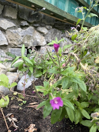
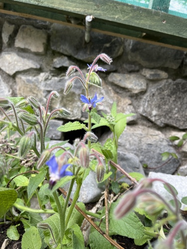
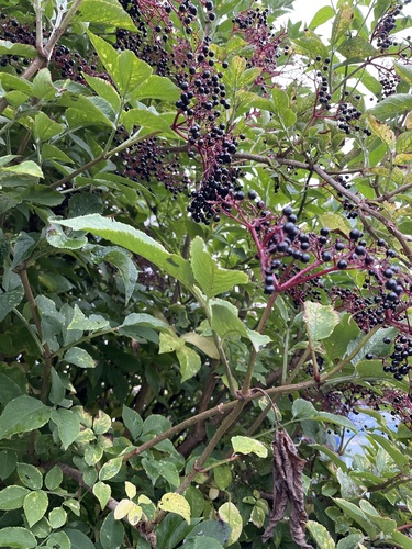
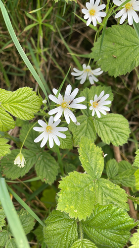
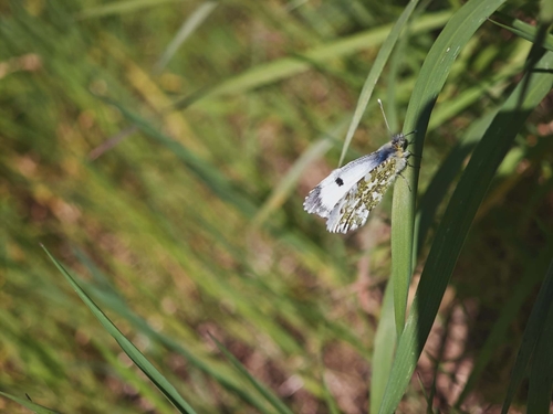
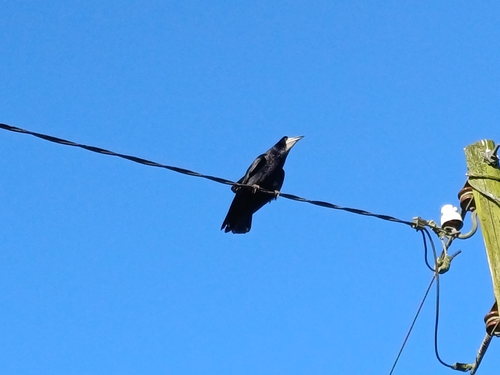
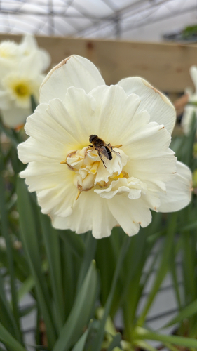
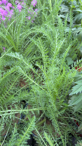
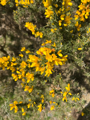
Research-grade observations from iNaturalist (within ~15 mi).
Events
Gallery
Sources
- • Wikipedia
- • iNaturalist
- • Open-Meteo / sunrise-sunset.org
- • Wikipedia Pageviews API
- • Open Library