Browse / Ireland / Tipperary / Ardfinnan
Ardfinnan
Tipperaryvillage

Ardfinnan
Demographic figures from Central Statistics Office (Ireland). Overview below cites Wikipedia and may reference a different year.
City facts
Facts from Wikidata (CC0).
Overview
Ardfinnan is a village in County Tipperary in Ireland. It is situated on the River Suir and R665 regional road. The Catholic parish of Ardfinnan is made up of three areas: Ardfinnan, Ballybacon, and Grange. Ardfinnan is also a civil parish in the ancient barony of Iffa and Offa West. The village is located 14 km (9 mi) from the town of Clonmel and 10 km (6 mi) from Cahir via the R670 road. As of 2022, the village had a population of 978 people.
Read more on WikipediaHistory & geography
History
Saint Declán journeyed through here in the early 5th century on his famous early-christian pilgrimage route from his monastery at Ardmore to Cashel, “Saint Declan’s Way”. The ford in the Suir where the bridge is now was one of the most important waypoints for pilgrims. 19th century sources claimed the original name of the place was Druim-abhradh, meaning ridge-edge or ridge-brow. It is traditionally believed that Saint Fíonán Lobhar (or Finnian the Leper) founded an abbey, with a leper colony here in the 6th century, high up behind the site of the now present castle, known as Ard Brennuin and later Ard Finnan in his namesake, where the village gets its name. The 10th-century text Litany of Irish Saints II refers to it as “de muntir Fhinnio i nAird Brendomnaig” and closely means “monastery of Finnian on the hill of Brennuin”. Saint Finnian's Church of Ireland church and graveyard sits on what is believed to be his monastic settlement. In c.631 AD the exiled Saint Carthage and his large cohort of 800 monks, plus laity, travelled south in search of refuge, arriving at Ard Breanuinn on the bank of the river Suir. They were confronted by King Maolochtair of the Déisi and his noblemen to refute the ownership of the land. Afterwards, the King's wife (a daughter of the King of Munster) had a dream which she recalled to him upon waking:"a flock of very beautiful birds flying above her head and one bird was more beautiful and larger than the rest. The other birds followed this one and it nestled in the king's bosom". The King replied: "Woman you have dreamed a good dream and soon it will be realised; the flock of birds you have seen is Mochuda (Saint Carthage)" "with his monks coming from Rahen and the most distinguished bird is Mochuda himself. And the settling in…
Excerpted from the corresponding Wikipedia article (CC BY-SA).
Geography
Coordinates & boundaries from the US Census TIGER/Line shapefiles.
Climate
Air quality
Walkability
Amenities nearby
Wildlife & biodiversity
Earthquake history
Photos
Sights & places nearby
Notable people from here


People born within ~10 km, from Wikidata (CC0). Click any name for their Wikipedia article.
Nearby places in Tipperary
Geography & sun
Elevation, sunrise/sunset and daylight from Open-Meteo. Solar climatology from NASA POWER.
Nearby airports
Public attention
Pageview totals from the Wikimedia Pageviews API.
Books about this place
Recent natural events nearby
Ground air-quality sensors
Recently spotted species
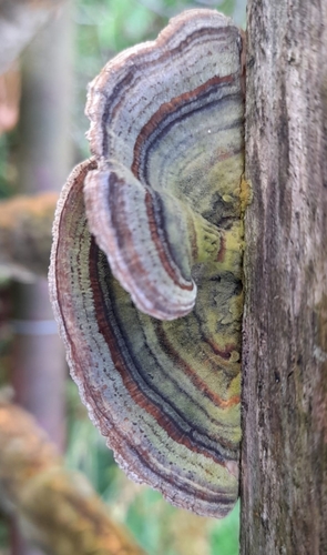
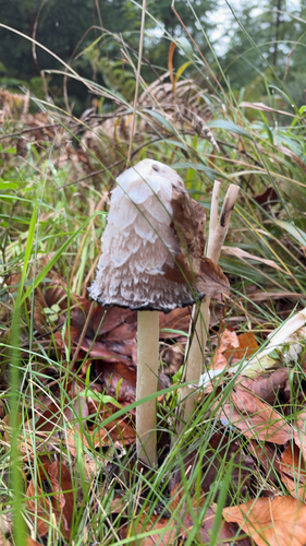
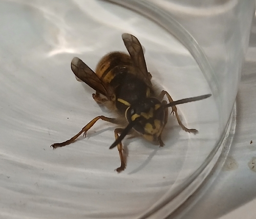
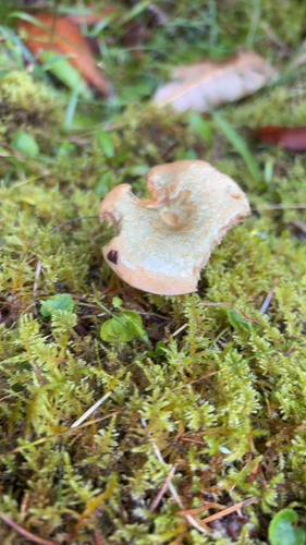
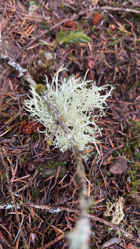
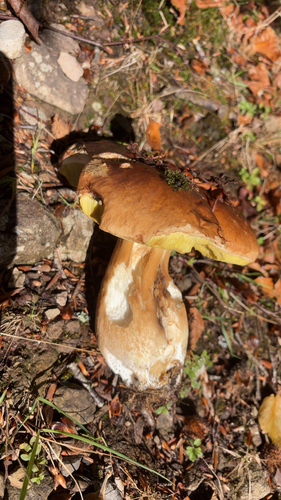
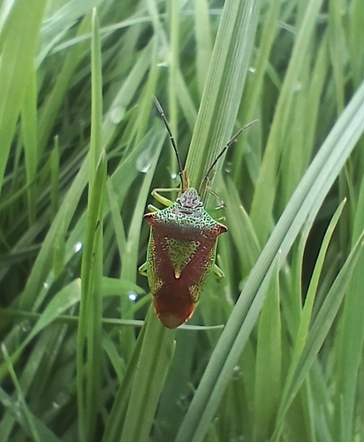
Research-grade observations from iNaturalist (within ~15 mi).
Events
Gallery
Sources
- • Wikipedia
- • Wikidata
- • iNaturalist
- • Open-Meteo / sunrise-sunset.org
- • Wikipedia Pageviews API