Browse / Ireland / Tipperary / Clogheen
Clogheen
Tipperaryvillage

Clogheen
Demographic figures from Central Statistics Office (Ireland). Overview below cites Wikipedia and may reference a different year.
City facts
Facts from Wikidata (CC0).
Overview
Clogheen is a village in County Tipperary, Ireland. The 2016 census recorded the population at 478 people.
Read more on WikipediaHistory & geography
History
The first substantial records of the village date from the Cromwellian period, but the village did not come to note until the 18th and 19th centuries. It then became a local centre of trade and commerce. The village takes its modern form from the 19th century with a wide area that was formerly the Market Square (and still named so) and a number of townhouses in the Georgian style. Evidence of its former economic activity exists in the form of a number of ruined mills and accompanying mill-streams in the environs of the village, as well as several large estates. A former Catholic parish priest of Clogheen, Nicholas Sheehy, is buried at Shanrahan graveyard just outside the village, having been executed in 1766. Sheehy had been a vocal opponent of Anglican Church tithes. When a secret oath-bound society known as the Whiteboys, formed in the parish, elements of the Protestant Ascendancy conspired to make him an example to those who questioned or threatened their powers. After a kangaroo trial in Clonmel, he was hanged for murder and treason, crimes with little basis, no reliable witnesses, and no proof. The stately Shanbally Castle was situated 4.5 kilometres outside the village. It was built circa 1820 for the 1st Viscount Lismore, designed by the architect John Nash, and was demolished by the State in 1960. Daniel O'Connell addressed a crowd of up to 50,000 people in the town on 28 September 1828, as part of a public demonstration to demand Catholic emancipation. Lewis' Topographical Dictionary of 1837 notes Clogheen as being located in the barony of Iffa and Offa West and reported that there were 1,928 inhabitants, a military barracks for the accommodation of two troops of cavalry, an extensive brewery, plus seven flour mills in the town and neighbourhood. Clogheen…
Excerpted from the corresponding Wikipedia article (CC BY-SA).
Geography
Coordinates & boundaries from the US Census TIGER/Line shapefiles.
Climate
Air quality
Walkability
Amenities nearby
Wildlife & biodiversity
Earthquake history
Photos
Sights & places nearby
Notable people from here


People born within ~10 km, from Wikidata (CC0). Click any name for their Wikipedia article.
Nearby places in Tipperary
Geography & sun
Elevation, sunrise/sunset and daylight from Open-Meteo. Solar climatology from NASA POWER.
Nearby airports
Public attention
Pageview totals from the Wikimedia Pageviews API.
Books about this place
Recent natural events nearby
Ground air-quality sensors
Recently spotted species
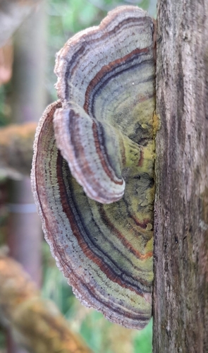
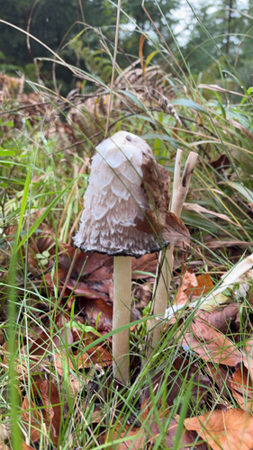
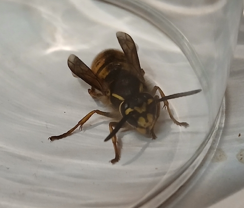
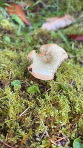
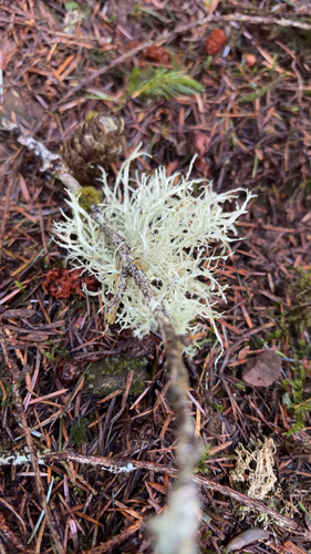
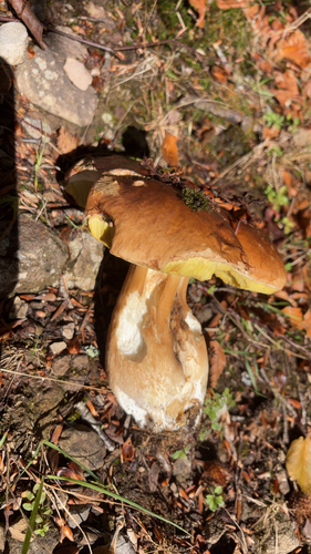
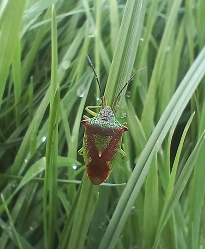
Research-grade observations from iNaturalist (within ~15 mi).
Events
Gallery
Sources
- • Wikipedia
- • Wikidata
- • iNaturalist
- • Open-Meteo / sunrise-sunset.org
- • Wikipedia Pageviews API