Browse / Ireland / Tipperary / Kilsheelan
Kilsheelan
Tipperaryvillage

Kilsheelan
Demographic figures from Central Statistics Office (Ireland). Overview below cites Wikipedia and may reference a different year.
City facts
Overview
Kilsheelan is a village and civil parish within the barony of Iffa and Offa East in County Tipperary, Ireland. A part of the civil parish is in neighbouring County Waterford. It is also one half of the Roman Catholic parish of Kilsheelan & Kilcash in the Roman Catholic Diocese of Waterford and Lismore.
Read more on WikipediaHistory & geography
History
Excavations in 2006 at a residential development revealed evidence of settlement at the village dating back to early Neolithic period. Finds included pottery fragments, stone blades and seeds. The name of the village in Irish is Cill Síoláin, meaning church of Síolán/Sillan. Síolán is thought to be an early Irish saint probably Sillan, abbot of Bangor Abbey in Bangor, County Down. Síolán can translate to either "seed-basket" or "cullender/sieve". In 1853 Kilsheelan railway station was opened by the Waterford, Limerick and Western Railway, later taken over by the Great Southern & Western Railway, it being one of many small provincial stations to serve settlements along the route. It was closed in 1963 to passengers and then to goods in 1976. Until 1984 the station served as a block post, at which point sidings and loop were removed. The original Great Southern & Western signal box remains extant, being used to house operator of the adjacent manual level crossing on the R706 road. Population shown accounts for the entire parish of Kilsheelan starting in 1831. {| class="wikitable" ! style="font-weight: bold;" | Year ! style="font-weight: bold;" | Population ! style="font-weight: bold;" | Change |- | 1831 | 1,570 | – |- | 1841 | 1,576 | 0.38 |- | 1851 | 1,491 | −5.39 |- | 1861 | 1,130 | −24.21 |- | 1871 | 941 | −16.73% |}
Geography
There are 21 townlands in Kilsheelan. *Ballinvoher *Ballyboe *Ballydine (Baile Uí Dhiana) *Ballyglasheen (Baile Uí Ghlaisín) *Ballyglasheen Little (Baile Uí Ghlaisín Beag) *Ballynaraha (Baile na Rátha) *Ballynevin *Butlerstown (Baile na mBuitléarach) *Clashanisky *Cloghcarrigeen East (Cloch Charraigín Thoir) *Cloghcarrigeen West (Cloch Charraigín Thiar) *Clonwalsh *Eustaceland (Fearann Iústáis) *Gammonsfield (Gort an Ghambúnaigh) *Gortbrack (An Gort Breac) *Greensland (An tArd Glas) *Kilsheelan (Cill Síoláin) *Knockanclash *Lisbalting *Lisnatubbrid *Mauganstown (Baile Mhágúin) *Minorstown (Baile an Mhionúraigh) *Mullenaranky *Poulakerry (Poll an Choire) *Priorstown *Seskin (An Seisceann) *Skehanagh (An Sceachánach) *Temple-Etney
Excerpted from the corresponding Wikipedia article (CC BY-SA).
Geography
Coordinates & boundaries from the US Census TIGER/Line shapefiles.
Climate
Air quality
Walkability
Amenities nearby
Wildlife & biodiversity
Earthquake history
Photos
Sights & places nearby
Notable people from here


People born within ~10 km, from Wikidata (CC0). Click any name for their Wikipedia article.
Nearby places in Tipperary
Geography & sun
Elevation, sunrise/sunset and daylight from Open-Meteo. Solar climatology from NASA POWER.
Nearby airports
Public attention
Pageview totals from the Wikimedia Pageviews API.
Books about this place
Recent natural events nearby
Ground air-quality sensors
Recently spotted species
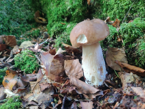
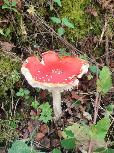
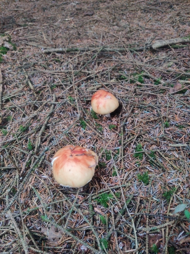
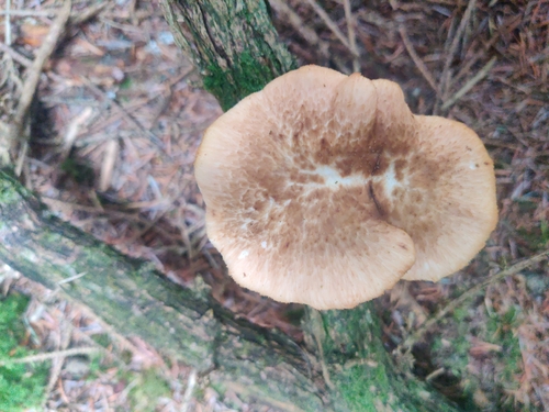
Research-grade observations from iNaturalist (within ~15 mi).
Events
Gallery
Sources
- • Wikipedia
- • Wikidata
- • iNaturalist
- • Open-Meteo / sunrise-sunset.org
- • Wikipedia Pageviews API