Browse / Ireland / Kildare / Ballitore
Ballitore
Kildarevillage

Ballitore
Demographic figures from Central Statistics Office (Ireland). Overview below cites Wikipedia and may reference a different year.
City facts
Overview
Ballitore is a village in County Kildare, Ireland, sometimes spelt as Ballytore. It is noted for its historical Quaker associations. It was the first planned Quaker village in either England or Ireland - and remains the only one in Europe.
Read more on WikipediaHistory & geography
History
Ballitore was first developed and founded as a Quaker settlement by John Bancroft and Abel Strettel. They developed the farmland in the area around Ballitore, and built wool and flour mills and help to develop the settlement. During the 1798 Rebellion, the village was plundered and burned and some of its inhabitants were killed. The Quaker school in the village was founded by Abraham Shackleton who was previously a schoolmaster in Yorkshire in 1726. The school catered for Quakers from other parts of Ireland as well as both Protestant and local Catholic children. Parliamentarian Edmund Burke, a student at Shackleton's school from 1741 to 1744, described Shackleton as "the planter of the future age". The Quaker school in Ballitore was founded and run by the Shackleton family and kept within the family for three generations. It was the most successful Quaker private boarding school in Ireland throughout the 18th and 19th centuries. The school was the only one in Ireland which provided more than just elementary-level education. It offered modern languages in the 1780s. It held between 50 and 60 pupils ranging greatly in age. It was a well-regarded boarding school, with Napper Tandy, Cardinal Paul Cullen, and the sons of Stratford Eyre among its students. In 2013, the Quaker school was demolished in order to make way for a Glanbia development in the centre of the town. The 18th-century building had been a listed building up until 2011 and was on the Record of Protected Structures (RPS). However, in 2012 Kildare County Council decided to delist it. Mary Leadbeater's house is situated on the corner of Ballitore's central village square, and is a preserved building and is now used as a museum and library. In April 1920, during the War of Independence, the RIC barracks in…
Excerpted from the corresponding Wikipedia article (CC BY-SA).
Geography
Coordinates & boundaries from the US Census TIGER/Line shapefiles.
Climate
Air quality
Walkability
Amenities nearby
Wildlife & biodiversity
Earthquake history
Photos
Sights & places nearby
Notable people from here


People born within ~10 km, from Wikidata (CC0). Click any name for their Wikipedia article.
Nearby places in Kildare
Geography & sun
Elevation, sunrise/sunset and daylight from Open-Meteo. Solar climatology from NASA POWER.
Nearby airports
Public attention
Pageview totals from the Wikimedia Pageviews API.
Books about Ballitore
Search results from Open Library.
Recent natural events nearby
Ground air-quality sensors
Recently spotted species
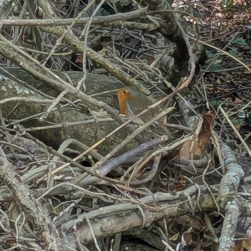
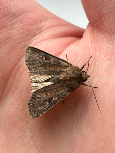
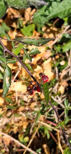
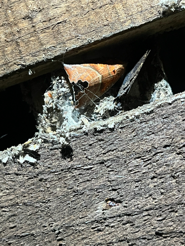
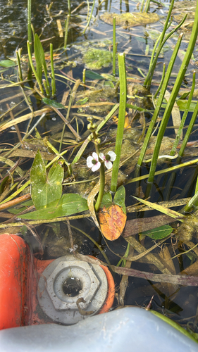
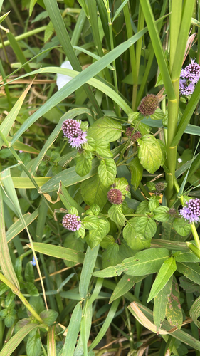
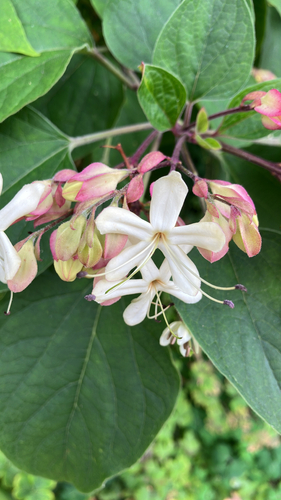
Research-grade observations from iNaturalist (within ~15 mi).
Events
Gallery
Sources
- • Wikipedia
- • Wikidata
- • iNaturalist
- • Open-Meteo / sunrise-sunset.org
- • Wikipedia Pageviews API
- • Open Library