Browse / Ireland / Kildare / Timolin
Timolin
Kildarevillage

Timolin
Demographic figures from Central Statistics Office (Ireland). Overview below cites Wikipedia and may reference a different year.
City facts
Overview
Timolin is a village in the south of County Kildare, Ireland. It is located off the R448 road, the former N9 road about 80 km (50 mi) south of Dublin. It is a small village, with less than a hundred inhabitants, one shop and two pubs. It is located close to the Moone High Cross Inn. The closest village to Timolin is Moone, less than 1 kilometre to the south. The village is in a townland and civil parish of the same name.
Read more on WikipediaHistory & geography
History
During the Irish Confederate Wars of the 1640s Timolin was the scene of a notorious massacre. A stronghouse in the village, in which many civilians were sheltering, was attacked by an army under Ormonde. After it had been captured around 200 civilians were killed.
Excerpted from the corresponding Wikipedia article (CC BY-SA).
Geography
Coordinates & boundaries from the US Census TIGER/Line shapefiles.
Climate
Air quality
Walkability
Amenities nearby
Wildlife & biodiversity
Earthquake history
Photos
Sights & places nearby
Notable people from here


People born within ~10 km, from Wikidata (CC0). Click any name for their Wikipedia article.
Nearby places in Kildare
Geography & sun
Elevation, sunrise/sunset and daylight from Open-Meteo. Solar climatology from NASA POWER.
Nearby airports
Public attention
Pageview totals from the Wikimedia Pageviews API.
Books about this place
Recent natural events nearby
Ground air-quality sensors
Recently spotted species
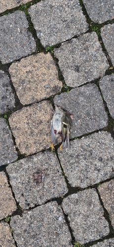
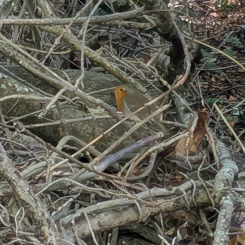
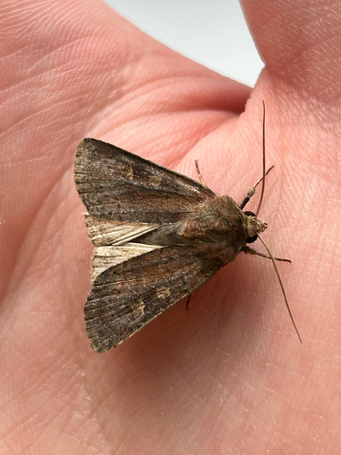


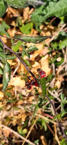
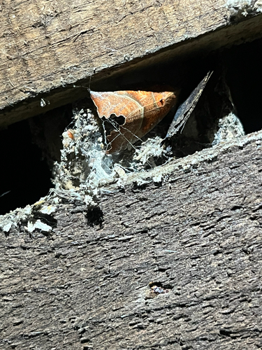
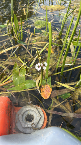
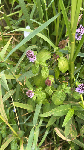
Research-grade observations from iNaturalist (within ~15 mi).
Events
Gallery
Sources
- • Wikipedia
- • Wikidata
- • iNaturalist
- • Open-Meteo / sunrise-sunset.org
- • Wikipedia Pageviews API