Browse / Ireland / Louth / Drogheda
Drogheda
Louthtown

Drogheda
Total population
44,135
Founded
1194
Demographic figures from Central Statistics Office (Ireland). Overview below cites Wikipedia and may reference a different year.
City facts
Sister cities
Facts from Wikidata (CC0).
Overview
Drogheda is an industrial and port town in County Louth on the east coast of Ireland, 43 km (27 mi) north of Dublin. It is located on the Dublin–Belfast corridor on the east coast of Ireland, mostly in County Louth but with the south fringes of the town in County Meath, 40 km (25 mi) north of Dublin city centre. Drogheda had a population of 44,135 inhabitants in 2022, making it the eleventh largest settlement by population in all of Ireland, and the largest town in the Republic of Ireland, by both population and area. The area of Drogheda that is in Co. Louth has 35,990 residents, while the area of Drogheda that is in Co. Meath has 8,145 residents, which make up the 44,135 total. It is the last bridging point on the River Boyne before it enters the Irish Sea. The UNESCO World Heritage Site of Newgrange is located 8 km (5.0 mi) west of the town.
Read more on WikipediaHistory & geography
History
{{Historical populations|state=collapsed |1811|15590 |1813|16123 |1821|18118 |1831|17365 |1841|17300 |1851|16810 |1861|14722 |1871|13510 |1881|12297 |1891|11873 |1901|12760 |1911|12501 |1926|12716 |1936|14494 |1946|15715 |1951|16779 |1956|17008 |1961|17085 |1966|17908 |1971|20095 |1981|23615 |1986|24681 |1991|24656 |1996|25282 |2002|31020 |2006|35090 |2011|38578 |2016|40956 |2022|44135 ||footnote= The density of archaeological sites of the prehistoric and early Christian periods uncovered in the course of ongoing developments, (including during construction of the Northern Motorway or 'Drogheda Bypass'), has shown that the hinterland of Drogheda has been a settled landscape for millennia. Despite local tradition linking Millmount to Amergin Glúingel, in his 1978 study of the history and archaeology of the town, John Bradley stated that "neither the documentary nor the archaeological evidence indicates that there was any settlement at the town prior to the coming of the Normans". The results of a number of often large-scale excavations carried out within the area of the medieval town appear to confirm this statement. It was completed in 1234 as the west wall of the first castle guarding access to the northern crossing point of the Boyne. A later castle, circa 1600, called Laundy's Castle stood at the junction of West Street and Peter's Street. On Meathside, the Castle of Drogheda or The Castle of Comfort was a tower house castle on the south side of the Bull Ring. It served as a prison, and as a sitting of the Irish parliament in 1494. The earliest known town charter is that granted to Drogheda-in-Meath by Walter de Lacy in 1194. In the 1600s, the name of the town was also spelled "Tredagh" in keeping with the common pronunciation, as documented by Gerard Boate in his…
Excerpted from the corresponding Wikipedia article (CC BY-SA).
Geography
Coordinates & boundaries from the US Census TIGER/Line shapefiles.
Climate
Air quality
Walkability
Amenities nearby
Wildlife & biodiversity
Earthquake history
Photos
Sights & places nearby
Notable people from here


People born within ~10 km, from Wikidata (CC0). Click any name for their Wikipedia article.
Nearby places in Louth
Geography & sun
Elevation, sunrise/sunset and daylight from Open-Meteo. Solar climatology from NASA POWER.
Nearby airports
Public attention
Pageview totals from the Wikimedia Pageviews API.
Books about Drogheda
Search results from Open Library.
Recent natural events nearby
Ground air-quality sensors
Recently spotted species
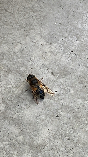
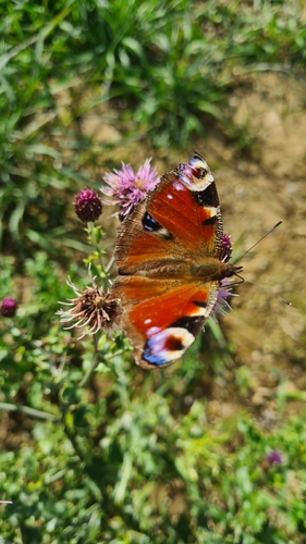
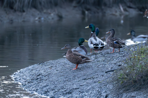
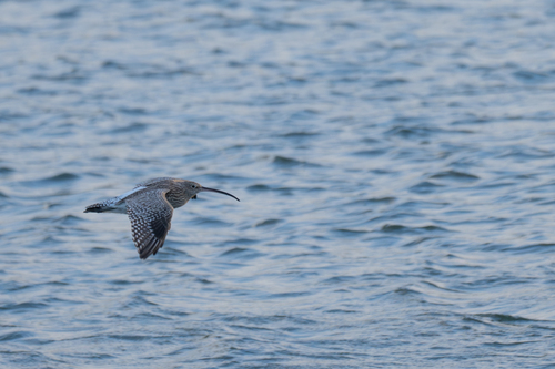
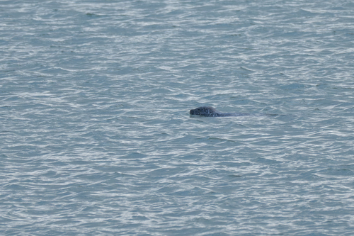
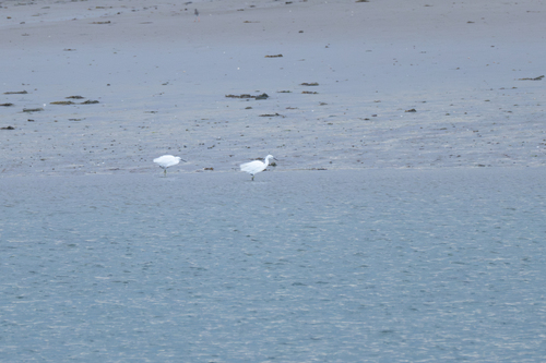
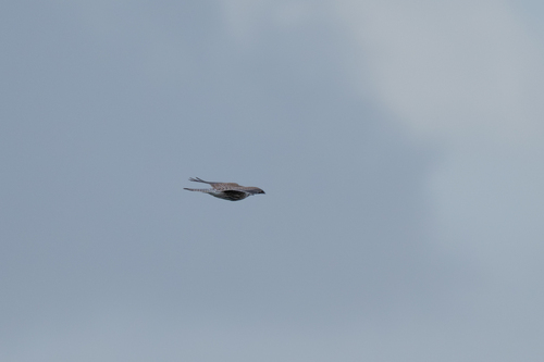
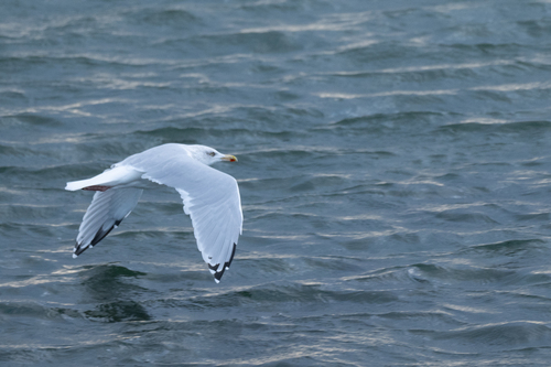
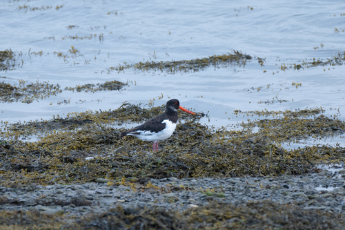
Research-grade observations from iNaturalist (within ~15 mi).
Events
Gallery
Sources
- • Wikipedia
- • Wikidata
- • iNaturalist
- • Open-Meteo / sunrise-sunset.org
- • Wikipedia Pageviews API
- • Open Library