Browse / Ireland / Dublin / Howth
Howth
Dublintown

Howth
Total population
8,277
Demographic figures from Central Statistics Office (Ireland). Overview below cites Wikipedia and may reference a different year.
City facts
Facts from Wikidata (CC0).
Overview
Howth is a peninsular village and outer suburb of Dublin in Ireland. The district as a whole occupies the greater part of the peninsula of Howth Head, which forms the northern boundary of Dublin Bay, and includes the island of Ireland's Eye, which holds multiple natural protection designations.
Read more on WikipediaHistory & geography
History
On the grounds of Howth Castle is a 3000 year old dolmen tomb known as Aideen's Grave. According to legend it is the resting place of the mythological figure Aideen. This legend is the subject of the poem 'Aideen's Grave' by Samuel Ferguson. In ancient history Ptolemy's second-century map of Ireland shows Howth as an island named Edri Deserta (sometimes rendered as Edros). After Brian Ború, the High King of Ireland, defeated the Norse in 1014, many Norse fled to Howth to regroup and remained a force until their final defeat in Fingal in the middle of the 11th century. Howth still remained under the control of Irish and localised Norse forces until the invasion of Ireland by the Anglo-Normans in 1169. Without the support of either the Irish or Scandinavian powers, Howth was isolated and fell to the Normans in 1177. One of the victorious Normans, Armoricus (or Almeric) Tristram, was granted much of the land between the village and Sutton. According to the historian Samuel Lewis: In 1177, Sir Amorey Tristram and Sir John de Courcy landed here at the head of a large military force, and totally defeated the Danish inhabitants in a sanguinary battle at the bridge of Evora, over a mountain stream which falls into the sea near the Baily lighthouse. This victory secured to Sir Amorey the lordship of Howth, of which his descendants have continued in possession to the present day, under the name of St. Laurence, which Almaric, third baron, assumed in fulfilment of a vow previously to his victory over the Danes near Clontarf, in a battle fought on the festival of that saint. The territory of Howth was confirmed to Almaric de St. Laurence by King John.... Tristam built his first castle overlooking the harbour and the St. Lawrence link remained until 2019 (see Earl of Howth).…
Excerpted from the corresponding Wikipedia article (CC BY-SA).
Geography
Coordinates & boundaries from the US Census TIGER/Line shapefiles.
Climate
Air quality
Walkability
Amenities nearby
Wildlife & biodiversity
Most-observed species
- Herring GullLarus argentatus Pontoppidan, 1763 · Aves16,528
- Hooded CrowCorvus cornix Linnaeus, 1758 · Aves13,566
- Eurasian MagpiePica pica (Linnaeus, 1758) · Aves13,490
- Common Wood-PigeonColumba palumbus Linnaeus, 1758 · Aves12,425
- European RobinErithacus rubecula (Linnaeus, 1758) · Aves10,221
- European StarlingSturnus vulgaris Linnaeus, 1758 · Aves9,319
- Black-headed GullChroicocephalus ridibundus (Linnaeus, 1766) · Aves9,189
- Rock PigeonColumba livia J.F.Gmelin, 1789 · Aves9,117
Citizen-science & research observations from the Global Biodiversity Information Facility (GBIF).
Earthquake history
Most recent
- M 3.2 — 2005-12-1427 km E of Wicklow, Ireland
Events from the USGS Earthquake Catalog (global) (FDSN Event Web Service).
Photos
Sights & places nearby
Notable people from here


People born within ~10 km, from Wikidata (CC0). Click any name for their Wikipedia article.
Nearby places in Dublin
Geography & sun
Elevation, sunrise/sunset and daylight from Open-Meteo. Solar climatology from NASA POWER.
Nearby airports
Public attention
Pageview totals from the Wikimedia Pageviews API.
Books about Howth

Search results from Open Library.
Recent natural events nearby
Ground air-quality sensors
Recently spotted species
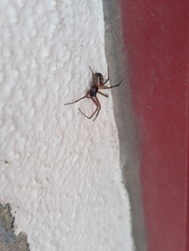
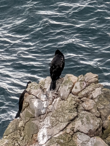
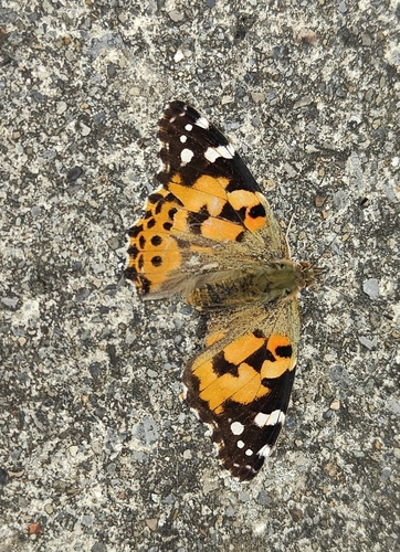
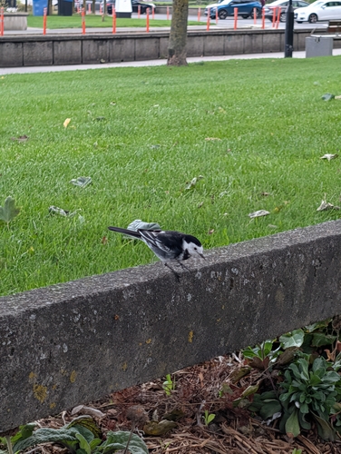
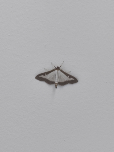
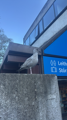
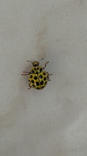
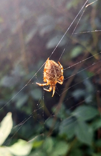
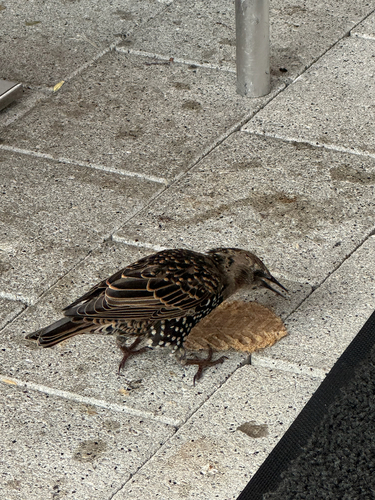
Research-grade observations from iNaturalist (within ~15 mi).
Events
Gallery
Sources
- • Wikipedia
- • Wikidata
- • USGS Earthquake Catalog (global feed)
- • GBIF (Global Biodiversity Information Facility)
- • iNaturalist
- • Open-Meteo / sunrise-sunset.org
- • Wikipedia Pageviews API
- • Open Library