Browse / Ireland / Tipperary / Lorrha
Lorrha
Tipperaryvillage
Demographic figures from Central Statistics Office (Ireland). Overview below cites Wikipedia and may reference a different year.
City facts
Overview
Lorrha is a small village at the northern tip of County Tipperary, Ireland. Ledewich described village as 'Larah' which is the common name for the talk-motes, mote hills etc. P. Dixon Hardy M.R.I.A. describes it as 'Loragh'
Read more on WikipediaHistory & geography
History
In 843 a Norse expedition led by Turgesius raided Lorrha and the neighbouring settlement of Terryglass. 'Cromwell certainly visited Lorrha, for tradition records him to have committed many sacrilegious acts in the English church-yards; as a proof of which, the remains of Broken crosses are still to be seen; tradition also tells us that the abbey bell was, at the same time, transferred to a neighbouring gentleman's house for security, where its silver tongue was exchanged for one of baser metal. That the abbey was taken possession of and burned, is likewise probable, as the east end, before it became overgrown with ivy, showed several marks of fire. it certainly must have been unroofed before Cromwell's time, for had it had been laid waste by him, tradition would not have so soon forgotten the date of its overthrow.' Close to a historic crossing point of the River Shannon, the area has a long history of bridges and ferry crossings. The present Portumna bridge dates from 1911 (opening section replaced October 2008 ) Lorrha has a rich ecclesiastical history evidenced by the ruins and active religious buildings within the village. The Roman Catholic Church of St. Ruadhan (c. 1912), At the south of the village are the remains of a Dominican Friary founded in the 13th century by Walter de Burgh, Earl of Ulster. The remains consist of: 'It is an oblong uncompact pile of a building, measuring one hundred and twenty feet by twenty four within the walls, and the side walls about twenty-six feet in height. The windows are well proportioned and have stone mullions, which branch out into two parts at top. over most of them are partly flat arches, badly executed, but yet capable of supporting a weight which, perhaps the graceful ones beneath would not be sufficient to bear…
Excerpted from the corresponding Wikipedia article (CC BY-SA).
Geography
Coordinates & boundaries from the US Census TIGER/Line shapefiles.
Climate
Air quality
Walkability
Amenities nearby
Wildlife & biodiversity
Earthquake history
Photos
Sights & places nearby
Notable people from here
Nearby places in Tipperary
Geography & sun
Elevation, sunrise/sunset and daylight from Open-Meteo. Solar climatology from NASA POWER.
Nearby airports
Public attention
Pageview totals from the Wikimedia Pageviews API.
Books about Lorrha


Search results from Open Library.
Recent natural events nearby
Ground air-quality sensors
Recently spotted species
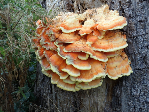
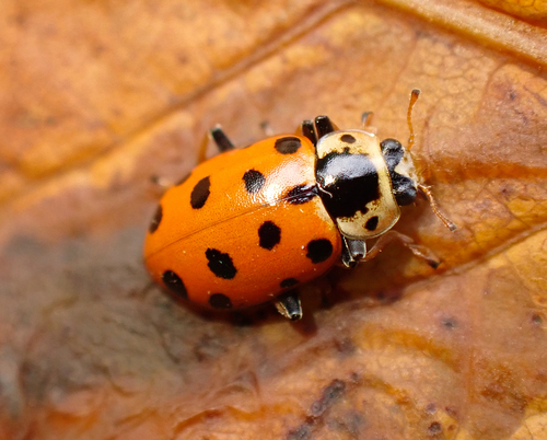
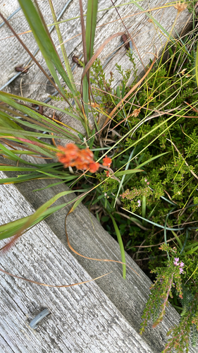
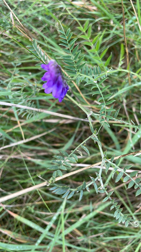
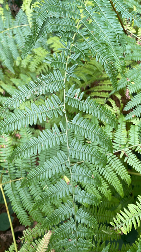
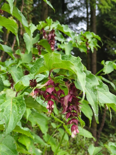
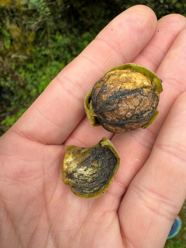
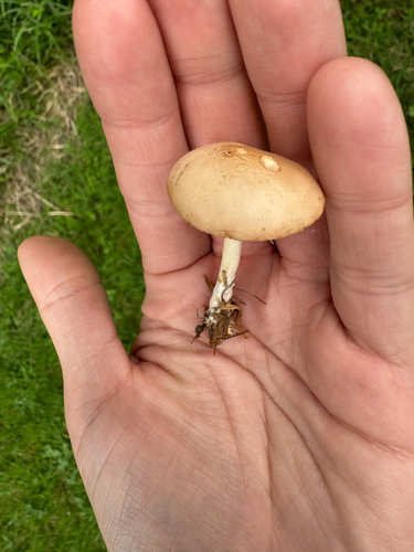
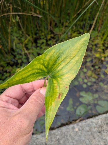
Research-grade observations from iNaturalist (within ~15 mi).
Events
Gallery
Sources
- • Wikipedia
- • iNaturalist
- • Open-Meteo / sunrise-sunset.org
- • Wikipedia Pageviews API
- • Open Library