Browse / Ireland / Mayo / Shrule
Shrule
Mayovillage

Shrule
Demographic figures from Central Statistics Office (Ireland). Overview below cites Wikipedia and may reference a different year.
City facts
Facts from Wikidata (CC0).
Overview
Shrule is a village in County Mayo in Ireland. It is in the south-east of Mayo, near the County Galway border. The boundary between counties Mayo and Galway follows much of the course of the Black River which runs on the south side of the village.
Read more on WikipediaHistory & geography
History
Connacht in the 1570s was divided between English control and Irish clans and families. The two branches of the Burke family, the MacWillams of Mayo and the Clanricardes of Galway, held a lot of territory and influence. The two branches fought with each other and with neighbouring clans, leading to the Elizabethian Lord Deputy of Ireland Henry Sidney to appoint a new Lord President to the province, Edward Fitton, to regain control. After breaking out from a siege in Galway, he besieged Shrule Castle with the support of Richard Burke, Earl of Clanricarde. On the 21st of June, the MacWilliam Burkes and their allies provoked a set-piece battle against the besieging forces. Fitton was dug in around the castle, and the MacWillams lined up their infantry and dismounted cavalry uphill from the defences. Fitton refused to budge from behind the siegeworks, so the enemy decided to attack. They pushed through the cannon and musket fire, hitting the besiegers with momentum. The besiegers broke and started to run for their camp a few miles away. The MacWilliam infantry followed closely to push their advantage, but this allowed Fitton and his cavalry to get behind them and attack the usually exposed rear. However, the MacWilliams held their shape in the face of this onslaught, until their own cavalry could pour in. A very tough fight broke out. Fitton was badly injured in the face, and his troop's ammunition was beginning to give out. He was rescued when the MacWilliams disengaged and marched northwards from the field in formation. The battle was inconclusive, the Mac Williams caused more casualties but did not remain in place to benefit strategically. Fitton could later take Shrule castle and slaughter the defending garrison. The castle afterwards passed into the possession of…
Excerpted from the corresponding Wikipedia article (CC BY-SA).
Geography
Coordinates & boundaries from the US Census TIGER/Line shapefiles.
Climate
Air quality
Walkability
Amenities nearby
Wildlife & biodiversity
Earthquake history
Photos
Sights & places nearby
Notable people from here


People born within ~10 km, from Wikidata (CC0). Click any name for their Wikipedia article.
Nearby places in Mayo
- St. Francisville3765.5 mi away
- Monticello3786.1 mi away
- Memphis3787.2 mi away
- Portage Des Sioux3790.5 mi away
- Saverton3791.9 mi away
- Old Jamestown3792.9 mi away
- Louisiana3793.7 mi away
- Black Jack3793.8 mi away
- Palmyra3794.4 mi away
- Bellefontaine Neighbors3794.6 mi away
- Moline Acres3795.6 mi away
- Elsberry3796.3 mi away
Geography & sun
Elevation, sunrise/sunset and daylight from Open-Meteo. Solar climatology from NASA POWER.
Nearby airports
Public attention
Pageview totals from the Wikimedia Pageviews API.
Books about this place
Recent natural events nearby
Ground air-quality sensors
Recently spotted species
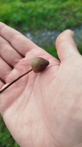
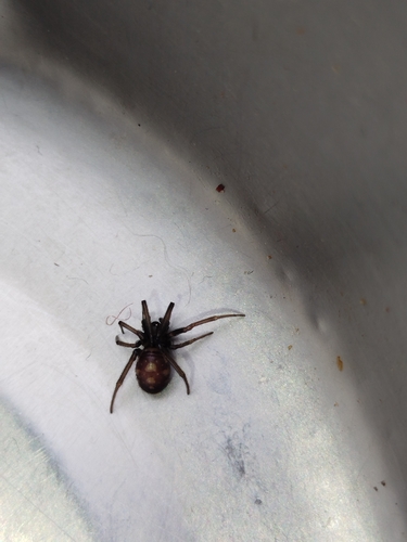
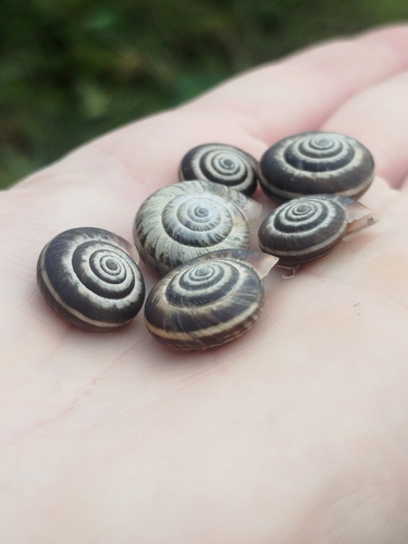
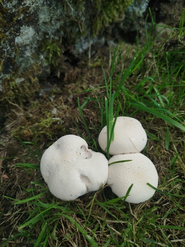
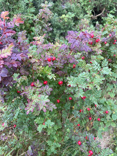
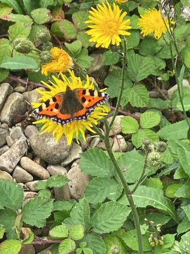
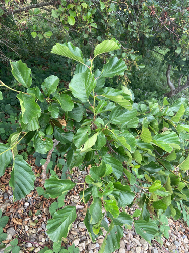
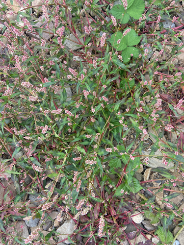
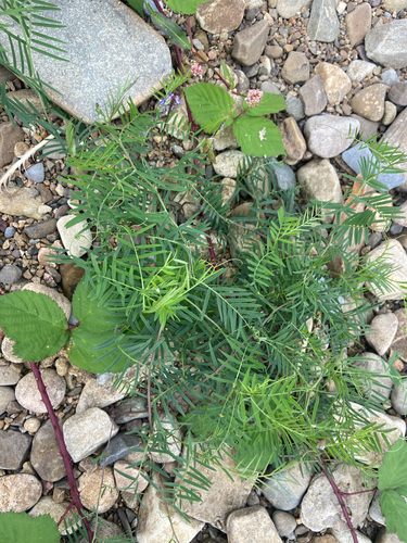
Research-grade observations from iNaturalist (within ~15 mi).
Events
Gallery
Sources
- • Wikipedia
- • Wikidata
- • iNaturalist
- • Open-Meteo / sunrise-sunset.org
- • Wikipedia Pageviews API