Browse / United States / Illinois / Arlington
Arlington
Illinoisvillage

Arlington
Total population
157
Median home value
$106,300
Bachelor's+
Median income
$54,375
Demographic figures from US Census Bureau · ACS 5-year estimates. Overview below cites Wikipedia and may reference a different year.
- Flood Watch · SevereFlood Watch issued September 16 at 5:10PM CDT until September 17 at 10:00AM CDT by NWS Quad Cities IA IL
Source: NOAA National Weather Service.
City facts
Facts from Wikidata (CC0).
Overview
Arlington is a village in Westfield Township, Bureau County, Illinois, United States. The population was 169 at the 2020 census. It is part of the Ottawa Micropolitan Statistical Area, located east of the Quad Cities, north of Peoria and Galesburg, west of LaSalle and Peru, and southwest of Rockford and Chicago.
Read more on WikipediaHistory & geography
History
Arlington was settled in 1843 and laid out in 1853 by James Waugh at the advent of the Chicago, Burlington, and Quincy Railroad through the area. In the early 1900s, Arlington, which was then called "Lost Grove", was experiencing rapid growth and development. Many companies set up shop to profit from the people flocking to the jobs at the coal mines in this area of Illinois. The businesses included a mattress factory, beer brewery, numerous restaurants, a brothel, and many others. The mayor at the time was from New York, and changed the town's name to Arlington, after the town of Arlington, New York. Arlington was about the size of Peru, Illinois. On November 13, 1909, a fire in a mine shaft killed 259 miners, young and old, at the Cherry coal mine. Authorities sealed the mine to contain the fire, trapping many rescue workers inside. When the mine was opened a week later, only twenty men had survived of the hundreds involved. The 1909 Cherry Mine disaster influenced early workers' compensation laws and labor practices in the coal mining industry. At the time, Illinois had no laws governing working conditions for miners. Arlington's growth slowed drastically after this occurrence. In the 1950s a tornado destroyed most of Arlington. Many people moved away from the town at this time. Today, Arlington has a population of less than 200. Many of the businesses and most of the homes have been shut down, deserted, or demolished. Many areas previously inhabited are now corn and bean fields. Some of the abandoned homes' foundations, and evidence of their former occupants, are still visible in these fields.
Geography
According to the 2021 census gazetteer files, Arlington has a total area of , all land.
Excerpted from the corresponding Wikipedia article (CC BY-SA).
Demographics & economy
Race & ethnicity
Source: US Census Bureau — American Community Survey, 5-year estimates.
Geography
Coordinates & boundaries from the US Census TIGER/Line shapefiles.
Climate
Current forecast
Forecast for Arlington, IL from NOAA NWS API.
Air quality
Industrial & pollution facilities
Natural hazard risk
Health (adults)
Age-adjusted prevalence estimates from CDC PLACES (latest release).
Walkability
Amenities nearby
Wildlife & biodiversity
Schools
Largest nearby schools
- John F Kennedy Elem SchoolElementary · Spring Valley · 608 students · 11.9:1 ratio
- Ladd Comm Cons SchElementary · Ladd · 202 students · 12.6:1 ratio
- Allen School SchoolElementary · La Moille · 94 students · 10.4:1 ratio
- Malden Grade SchoolElementary · Malden · 86 students · 10.8:1 ratio
- La Moille Jr/Sr High SchoolHigh · La Moille · 83 students · 6.9:1 ratio
- Dalzell Grade SchoolElementary · Dalzell · 62 students · 12.4:1 ratio
Public K–12 schools within ~10 mi from Urban Institute Education Data Portal (NCES Common Core of Data, 2022).
Earthquake history
Photos
Sights & places nearby
Notable people from here


People born within ~10 km, from Wikidata (CC0). Click any name for their Wikipedia article.
Nearby places in Illinois
- Cherry3.5 mi away · pop. 534
- La Moille4.5 mi away
- Malden7.1 mi away · pop. 460
- De Pue10.2 mi away · pop. 1,532
- LaSalle12.2 mi away · pop. 9,498
- Ohio12.4 mi away
- Granville14.2 mi away · pop. 1,472
- Oglesby15.4 mi away
- Hennepin15.7 mi away · pop. 929
- McNabb20.4 mi away · pop. 233
- Harmon23.5 mi away · pop. 100
- Dayton23.9 mi away · pop. 271
Geography & sun
Elevation, sunrise/sunset and daylight from Open-Meteo. Solar climatology from NASA POWER.
Nearby airports
Public attention
Pageview totals from the Wikimedia Pageviews API.
Books about Arlington
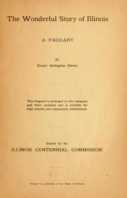
Search results from Open Library.
Recent natural events nearby
Ground air-quality sensors
Recently spotted species




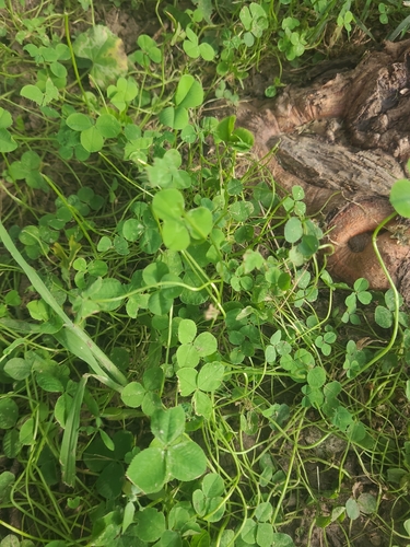
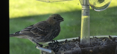

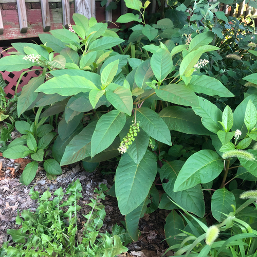
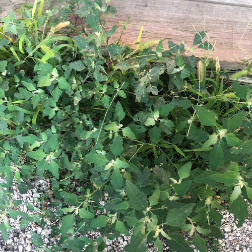
Research-grade observations from iNaturalist (within ~15 mi).
Nearest stream gauge
Live readings from USGS NWIS · measured 2014-09-29 23:45 UTC.
Events
Gallery
Sources
- • Wikipedia
- • US Census Bureau (ACS 5-year estimates)
- • NOAA National Weather Service
- • Wikidata
- • USGS NWIS (water data)
- • NCES via Urban Institute Education Data Portal
- • iNaturalist
- • CDC PLACES
- • Open-Meteo / sunrise-sunset.org
- • Wikipedia Pageviews API
- • Open Library