Browse / United States / Illinois / Bolingbrook
Bolingbrook
Illinoisvillage

Bolingbrook
Total population
73,856
Median home value
$334,000
Bachelor's+
Median income
$97,205
Demographic figures from US Census Bureau · ACS 5-year estimates. Overview below cites Wikipedia and may reference a different year.
City facts
Facts from Wikidata (CC0).
Overview
Bolingbrook is a village in Will and DuPage counties in the U.S. state of Illinois. It is a southwest suburb of Chicago on I-55 and Historic Route 66. The village was a new town built on the Gateway Wetlands west of the Des Plaines River in the 1960s. Bolingbrook experienced rapid growth in the 1980s and 1990s, eventually becoming Will County's second-largest town after Joliet. Per the 2020 census, the population was 73,922. As of 2010, it is the 17th-largest incorporated place in Illinois and the state's second-largest village.
Read more on WikipediaHistory & geography
History
Bolingbrook is a suburb of Chicago incorporated in 1965. Similar to the neighboring village of Woodridge, almost all of the businesses, homes, churches and other buildings in Bolingbrook were built after 1960. The first settlement in what is now Bolingbrook was established in 1831, but the informal farming villages remained unincorporated for over 130 years. The area that is now Bolingbrook is located in the heart of the Gateway Wetlands, which begin in Downers Grove and end just north of the Joliet city limits. The tiny Boardman Cemetery, in what is now the Heritage Creek subdivision, contains the remains of some of these early residents. Modern Bolingbrook has its roots in the housing boom of the 1950s. The first subdivision in Bolingbrook, known as Westbury, was immediately west of Route 53. A second subdivision, known as Colonial Village, followed on the far east side of Route 53. The village continued to grow steadily for the remainder of the 1960s, reaching a population of 7,000 by 1970. The 1970s were the first period of rapid growth in Bolingbrook, during which its population quintupled to reach over 37,000 by 1980. Much of this growth was as much due to mass annexation as well as raw population growth; the population of Bolingbrook by the 1970 census but with its 1980 land boundary was approximately 25,000, further reflecting the vigorous annexation that took place during the 1970s. By 1990, Bolingbrook's population had only increased by about 10% from the previous decade, to about 41,000.
Geography
Bolingbrook is approximately 28 miles southwest of Downtown Chicago. According to the 2021 census gazetteer files, Bolingbrook has a total area of , of which (or 99.18%) is land and (or 0.82%) is water. Bolingbrook borders the communities of Woodridge, Romeoville, Plainfield, Naperville, and Darien. Interstate 55, locally the Stevenson Expressway, runs through the village's southern part, heading northeast toward Chicago and southwest toward Plainfield and Joliet. Interstate 355, also known as the Veterans Memorial Tollway (formerly the North-South Tollway), runs along the far east side of the village between New Lenox and Addison. Illinois Route 53, locally known as Bolingbrook Drive, runs north–south through the middle of the village. Other main streets in Bolingbrook include Boughton Road, Lily Cache Lane, Weber Road, Veterans Parkway (formerly Naperville Road), Briarcliff Road, Hassert Boulevard (formerly 111th Street), Rodeo Drive (formerly 119th Street), Schmidt Road, Crossroads Parkway, and Remington Boulevard. Bolingbrook is in the Hot-summer humid continental climate, or Köppen Dfa zone. The zone includes four distinct seasons. Winter is cold with snow. Spring warms up with precipitation and storms. Summer has high precipitation and storms. Fall cools down.
Excerpted from the corresponding Wikipedia article (CC BY-SA).
Demographics & economy
Race & ethnicity
Source: US Census Bureau — American Community Survey, 5-year estimates.
Geography
Coordinates & boundaries from the US Census TIGER/Line shapefiles.
Climate
Current forecast
Forecast for Bolingbrook, IL from NOAA NWS API.
Air quality
Industrial & pollution facilities
Natural hazard risk
Health (adults)
Age-adjusted prevalence estimates from CDC PLACES (latest release).
Walkability
Amenities nearby
Wildlife & biodiversity
Most-observed species
- American RobinTurdus migratorius Linnaeus, 1766 · Aves63,132
- Northern CardinalCardinalis cardinalis (Linnaeus, 1758) · Aves56,849
- Red-winged BlackbirdAgelaius phoeniceus (Linnaeus, 1766) · Aves49,003
- Blue JayCyanocitta cristata (Linnaeus, 1758) · Aves47,847
- Canada Goose (canadensis Group)Branta canadensis (Linnaeus, 1758) · Aves46,571
- Black-capped ChickadeePoecile atricapillus (Linnaeus, 1766) · Aves45,312
- American GoldfinchSpinus tristis (Linnaeus, 1758) · Aves45,138
- Mourning DoveZenaida macroura (Linnaeus, 1758) · Aves43,684
Citizen-science & research observations from the Global Biodiversity Information Facility (GBIF).
Schools
Largest nearby schools
- Lockport Township High Sch EastHigh · Lockport · 3,872 students · 17.2:1 ratio
- Bolingbrook High SchoolHigh · Bolingbrook · 3,405 students · 14.8:1 ratio
- Neuqua Valley High SchoolHigh · Naperville · 3,156 students · 14.9:1 ratio
- Plainfield North High SchoolHigh · Plainfield · 2,377 students · 17.9:1 ratio
- Plainfield High SchoolHigh · Plainfield · 1,986 students · 16.3:1 ratio
- Plainfield East High SchoolHigh · Plainfield · 1,961 students · 16.2:1 ratio
- Romeoville High SchoolHigh · Romeoville · 1,922 students · 13.6:1 ratio
- Scullen Middle SchoolMiddle · Naperville · 935 students · 14.6:1 ratio
Public K–12 schools within ~10 mi from Urban Institute Education Data Portal (NCES Common Core of Data, 2022).
Earthquake history
Most recent
- M 2.9 — 2026-07-0821 km ENE of Kenilworth, Illinois
- M 2.6 — 2025-03-156 km W of Dwight, Illinois
- M 3.1 — 2024-07-152 km WNW of Somonauk, Illinois
- M 2.9 — 2015-03-253 km WNW of Lake in the Hills, Illinois
- M 3.2 — 2013-11-041 km SSW of Lyons, Illinois
- M 2.6 — 2013-06-104 km NNE of Virgil, Illinois
Events from the USGS Earthquake Catalog (global) (FDSN Event Web Service).
Photos
Sights & places nearby
Notable people from here


People born within ~10 km, from Wikidata (CC0). Click any name for their Wikipedia article.
Nearby places in Illinois
- Plainfield8.5 mi away
- Glen Ellyn12.5 mi away · pop. 28,390
- Oak Brook12.8 mi away · pop. 8,056
- Montgomery13.5 mi away · pop. 21,515
- Orland Park13.6 mi away
- Palos Park14.1 mi away
- Palos Hills14.2 mi away
- Palos Heights15.8 mi away
- Mokena15.9 mi away · pop. 20,021
- Glendale Heights16 mi away · pop. 32,808
- Brookfield16.1 mi away · pop. 19,331
- Carol Stream16.1 mi away · pop. 39,460
Geography & sun
Elevation, sunrise/sunset and daylight from Open-Meteo. Solar climatology from NASA POWER.
Nearby airports
Public attention
Pageview totals from the Wikimedia Pageviews API.
Books about Bolingbrook

Search results from Open Library.
Recent natural events nearby
Ground air-quality sensors
Recently spotted species
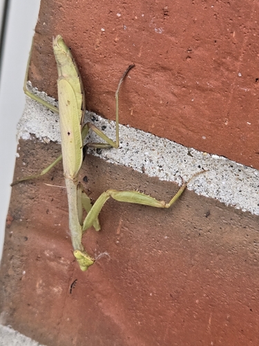
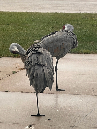
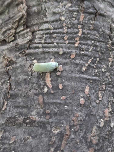
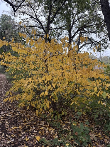
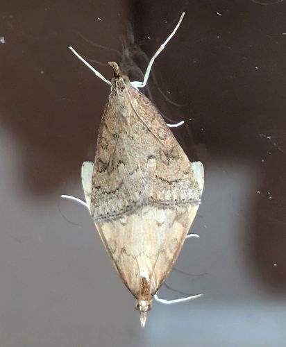
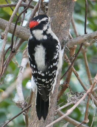


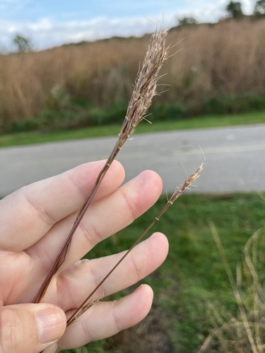
Research-grade observations from iNaturalist (within ~15 mi).
Nearest stream gauge
Events
Gallery
Sources
- • Wikipedia
- • US Census Bureau (ACS 5-year estimates)
- • NOAA National Weather Service
- • Wikidata
- • USGS Earthquake Catalog (global feed)
- • NCES via Urban Institute Education Data Portal
- • GBIF (Global Biodiversity Information Facility)
- • iNaturalist
- • CDC PLACES
- • Open-Meteo / sunrise-sunset.org
- • Wikipedia Pageviews API
- • Open Library