Browse / United States / Illinois / Brookfield
Brookfield
Illinoisvillage

Brookfield
Total population
19,331
Median home value
$332,400
Bachelor's+
Median income
$110,295
Founded
1893
Demographic figures from US Census Bureau · ACS 5-year estimates. Overview below cites Wikipedia and may reference a different year.
- Flood Watch · SevereFlood Watch issued October 1 at 2:44PM CDT until October 1 at 10:00PM CDT by NWS Chicago IL
Source: NOAA National Weather Service.
City facts
Facts from Wikidata (CC0).
Overview
Brookfield is a village in Cook County, Illinois, United States, located 13 miles (21 km) west of downtown Chicago. Per the 2020 census, the population was 19,476. The city is home to the Brookfield Zoo.
Read more on WikipediaHistory & geography
History
Settlement of the village dates to 1889 when Samuel Eberly Gross, a Chicago lawyer turned real estate investor, began selling building lots plotted from farms and woodlands he had acquired along both sides of the Chicago, Burlington & Quincy Railroad line, which provided passenger and freight service between Chicago and Aurora, Illinois. "Grossdale", as his development was originally called, offered suburban living at prices affordable to working-class families. The first two buildings Gross erected were a train station south of the tracks at what is now Prairie Avenue, and a pavilion across the tracks. The original train station was moved across the tracks and a few hundred feet east in 1981, and is now the home of the village's historical society and museum, as well as listed on the National Register of Historic Places. The pavilion housed the first post office, general store, Gross' real estate office, meeting rooms, and eventually a dance hall. Gross offered free train outings from Chicago to Grossdale where the prospects were met at the station by a band and treated to a picnic lunch, with a sales pitch from Gross. In addition to parcels of land, he had a number of house designs to offer at "cheap" prices. Gross later added the subdivisions of Hollywood (1893) and West Grossdale (1895), each with its own train station. Residents voted to incorporate as the village of Grossdale in 1893. The name was changed in 1905 after residents became displeased with Gross, whose personal life and fortune had floundered. A contest to choose a new name yielded "Brookfield" in respect for Salt Creek, which runs through the area. Gross also has a school named after him called S.E. Gross. In 1920, the old Plank Toll Road, now called Ogden Avenue (US Hwy 34), was paved, providing…
Geography
Brookfield is located at (41.822681, -87.847532). According to the 2010 census, Brookfield has a total area of , of which (or 99.77%) is land and (or 0.23%) is water. Most of Brookfield is flat land with various small hills and rises. Along Salt Creek is a steep ravine that is home to many oak savannas. These oak savannas are the primary ecosystem of Brookfield, and sprawl out from large, forested areas into small pockets in the village.
Excerpted from the corresponding Wikipedia article (CC BY-SA).
Demographics & economy
Race & ethnicity
Source: US Census Bureau — American Community Survey, 5-year estimates.
Geography
Coordinates & boundaries from the US Census TIGER/Line shapefiles.
Climate
Current forecast
Forecast for Brookfield, IL from NOAA NWS API.
Air quality
Industrial & pollution facilities
Natural hazard risk
Health (adults)
Age-adjusted prevalence estimates from CDC PLACES (latest release).
Walkability
Amenities nearby
Wildlife & biodiversity
Most-observed species
- American RobinTurdus migratorius Linnaeus, 1766 · Aves128,637
- Northern CardinalCardinalis cardinalis (Linnaeus, 1758) · Aves116,149
- House SparrowPasser domesticus (Linnaeus, 1758) · Aves113,323
- Canada Goose (canadensis Group)Branta canadensis (Linnaeus, 1758) · Aves92,850
- MallardAnas platyrhynchos Linnaeus, 1758 · Aves86,357
- Black-capped ChickadeePoecile atricapillus (Linnaeus, 1766) · Aves80,459
- Red-winged BlackbirdAgelaius phoeniceus (Linnaeus, 1766) · Aves79,576
- American GoldfinchSpinus tristis (Linnaeus, 1758) · Aves75,021
Citizen-science & research observations from the Global Biodiversity Information Facility (GBIF).
Schools
Largest nearby schools
- Lyons Twp High SchHigh · La Grange · 3,842 students · 15:1 ratio
- J Sterling Morton West High SchHigh · Berwyn · 3,533 students · 17.2:1 ratio
- J Sterling Morton East High SchHigh · Cicero · 3,445 students · 20.4:1 ratio
- Oak Park & River Forest High SchHigh · Oak Park · 3,304 students · 14.1:1 ratio
- Curie Metropolitan High SchoolHigh · Chicago · 3,178 students · 16.5:1 ratio
- Amos Alonzo Stagg High SchoolHigh · Palos Hills · 2,538 students · 14.4:1 ratio
- Unity Jr High SchoolMiddle · Cicero · 2,054 students · 14.6:1 ratio
- Reavis High SchoolHigh · Burbank · 1,986 students · 17.6:1 ratio
Public K–12 schools within ~10 mi from Urban Institute Education Data Portal (NCES Common Core of Data, 2022).
Earthquake history
Most recent
- M 2.9 — 2026-07-0821 km ENE of Kenilworth, Illinois
- M 2.6 — 2025-03-156 km W of Dwight, Illinois
- M 3.1 — 2024-07-152 km WNW of Somonauk, Illinois
- M 2.9 — 2015-03-253 km WNW of Lake in the Hills, Illinois
- M 3.2 — 2013-11-041 km SSW of Lyons, Illinois
- M 2.6 — 2013-06-104 km NNE of Virgil, Illinois
Events from the USGS Earthquake Catalog (global) (FDSN Event Web Service).
Photos
Sights & places nearby
Notable people from here


People born within ~10 km, from Wikidata (CC0). Click any name for their Wikipedia article.
Nearby places in Illinois
- Lyons1.7 mi away · pop. 10,339
- Cicero4.7 mi away · pop. 82,093
- Melrose Park5.4 mi away · pop. 24,549
- Berkeley5.5 mi away · pop. 5,199
- Oak Brook5.5 mi away · pop. 8,056
- Palos Hills8.7 mi away
- Oak Lawn9.1 mi away · pop. 56,861
- Palos Park11 mi away
- Addison11.1 mi away · pop. 35,489
- Glen Ellyn11.4 mi away · pop. 28,390
- Palos Heights11.5 mi away
- Glendale Heights13.5 mi away · pop. 32,808
Geography & sun
Elevation, sunrise/sunset and daylight from Open-Meteo. Solar climatology from NASA POWER.
Nearby airports
Public attention
Pageview totals from the Wikimedia Pageviews API.
Books about Brookfield



Search results from Open Library.
Recent natural events nearby
Ground air-quality sensors
Recently spotted species
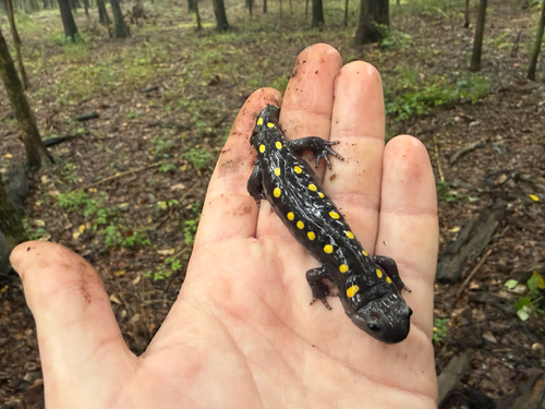
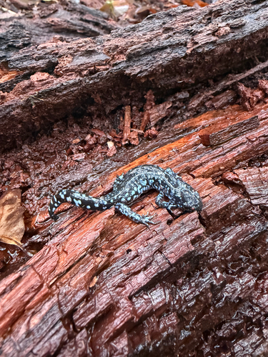
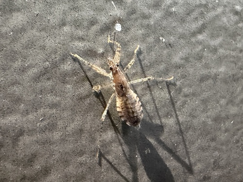
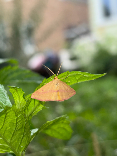
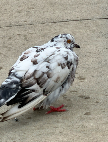
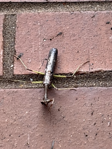
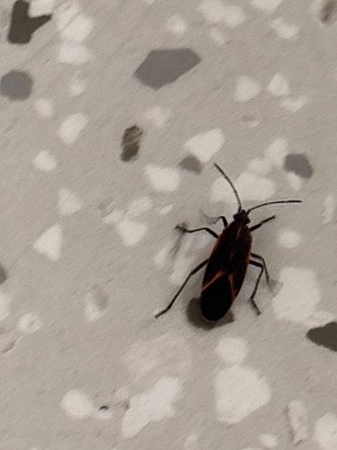
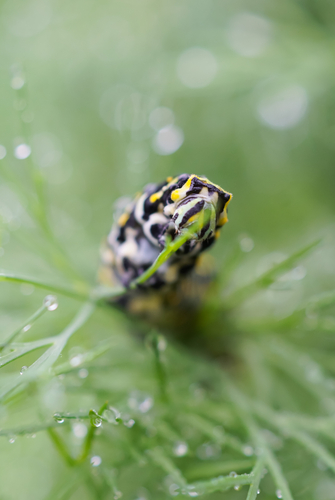
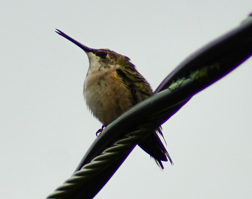
Research-grade observations from iNaturalist (within ~15 mi).
Nearest stream gauge
Events
Gallery
Sources
- • Wikipedia
- • US Census Bureau (ACS 5-year estimates)
- • NOAA National Weather Service
- • Wikidata
- • USGS Earthquake Catalog (global feed)
- • NCES via Urban Institute Education Data Portal
- • GBIF (Global Biodiversity Information Facility)
- • iNaturalist
- • CDC PLACES
- • Open-Meteo / sunrise-sunset.org
- • Wikipedia Pageviews API
- • Open Library