Browse / United States / Illinois / Berkeley
Berkeley
Illinoisvillage

Berkeley
Total population
5,199
Median home value
$246,900
Bachelor's+
Median income
$85,823
Demographic figures from US Census Bureau · ACS 5-year estimates. Overview below cites Wikipedia and may reference a different year.
- Flood Watch · SevereFlood Watch issued October 1 at 2:44PM CDT until October 1 at 10:00PM CDT by NWS Chicago IL
Source: NOAA National Weather Service.
City facts
Facts from Wikidata (CC0).
Overview
Berkeley is a village in Cook County, Illinois, United States. Incorporated in 1924, the population at the 2020 census was 5,338.
Read more on WikipediaHistory & geography
History
Farmers, mostly of German and Dutch heritage, began to settle in the region that would become Berkeley around 1835. The Dutch sought to be truck farmers, dwelling on farms spanning from 40 to 160 acres, whereas the Germans conducted general farming. In 1848, a small group of farm families founded Sunnyside, a one-room school. Sunnyside Elementary School is still in operation today, however it is now located in a bigger and newer structure. Farmland was provided for what is now known as Old Settler's Cemetery a short distance west on St. Charles Road (which was finished in 1836). Many of the area's earliest settlers remain buried there. The Chicago, Aurora & Elgin Railroad (interurban) opened in 1902, providing the area with its first passenger rail service at Berkeley. Subdivisions were made in 1908 and again in 1914–1915 introduced new residential building and new inhabitants to the region, who were mostly English. Berkeley became a village in 1924, thanks to the efforts of these people. The early 1900s population surge paled in comparison to the post-World War II population explosion in Berkeley, which saw the village population triple from 1,882 in 1950 to 5,792 in 1960. Berkeley also lost a number of homes when the Interstate 290 expansion was built in the late 1950s, cutting a north–south swath across the village's western part. The Chicago, Aurora & Elgin Railway ceased passenger service in 1957 when traffic was transferred to the new expressway system, but its path is still preserved through the community by the Prairie Path for bicyclists. Berkeley bought property from the railroad in the 1960s to stretch its northern borders, enabling for the development of a small industrial park. Electrical contractors, printing firms, warehouses, wholesalers, and the…
Geography
Berkeley is located at (41.886794, -87.910528). According to the 2021 census gazetteer files, Berkeley has a total area of , all land.
Excerpted from the corresponding Wikipedia article (CC BY-SA).
Demographics & economy
Race & ethnicity
Source: US Census Bureau — American Community Survey, 5-year estimates.
Geography
Coordinates & boundaries from the US Census TIGER/Line shapefiles.
Climate
10-year averages from ERA5 reanalysis (Open-Meteo).
Current forecast
Forecast for Berkeley, IL from NOAA NWS API.
Air quality
Industrial & pollution facilities
Natural hazard risk
Health (adults)
Age-adjusted prevalence estimates from CDC PLACES (latest release).
Walkability
Amenities nearby
Wildlife & biodiversity
Most-observed species
- American RobinTurdus migratorius Linnaeus, 1766 · Aves106,706
- House SparrowPasser domesticus (Linnaeus, 1758) · Aves90,751
- Northern CardinalCardinalis cardinalis (Linnaeus, 1758) · Aves90,551
- Mourning DoveZenaida macroura (Linnaeus, 1758) · Aves61,881
- Canada Goose (canadensis Group)Branta canadensis (Linnaeus, 1758) · Aves60,035
- Downy WoodpeckerDryobates pubescens (Linnaeus, 1766) · Aves59,324
- American GoldfinchSpinus tristis (Linnaeus, 1758) · Aves56,065
- MallardAnas platyrhynchos Linnaeus, 1758 · Aves55,677
Citizen-science & research observations from the Global Biodiversity Information Facility (GBIF).
Schools
Largest nearby schools
- Taft High SchoolHigh · Chicago · 4,464 students · 16.6:1 ratio
- Lyons Twp High SchHigh · La Grange · 3,842 students · 15:1 ratio
- J Sterling Morton West High SchHigh · Berwyn · 3,533 students · 17.2:1 ratio
- J Sterling Morton East High SchHigh · Cicero · 3,445 students · 20.4:1 ratio
- Oak Park & River Forest High SchHigh · Oak Park · 3,304 students · 14.1:1 ratio
- Maine South High SchoolHigh · Park Ridge · 2,495 students · 17.3:1 ratio
- Unity Jr High SchoolMiddle · Cicero · 2,054 students · 14.6:1 ratio
- Elk Grove High SchoolHigh · Elk Grove Village · 2,000 students · 17.1:1 ratio
Public K–12 schools within ~10 mi from Urban Institute Education Data Portal (NCES Common Core of Data, 2022).
Earthquake history
Most recent
- M 2.9 — 2026-07-0821 km ENE of Kenilworth, Illinois
- M 3.1 — 2024-07-152 km WNW of Somonauk, Illinois
- M 2.9 — 2015-03-253 km WNW of Lake in the Hills, Illinois
- M 3.2 — 2013-11-041 km SSW of Lyons, Illinois
- M 2.6 — 2013-06-104 km NNE of Virgil, Illinois
- M 3.8 — 2010-02-102 km NW of Lily Lake, Illinois
Events from the USGS Earthquake Catalog (global) (FDSN Event Web Service).
Photos
Sights & places nearby
Notable people from here


People born within ~10 km, from Wikidata (CC0). Click any name for their Wikipedia article.
Nearby places in Illinois
- Melrose Park2.6 mi away · pop. 24,549
- Oak Brook4.2 mi away · pop. 8,056
- Elmwood Park5.4 mi away · pop. 23,868
- Brookfield5.5 mi away · pop. 19,331
- Addison5.8 mi away · pop. 35,489
- La Grange6 mi away · pop. 15,998
- Lyons7.1 mi away · pop. 10,339
- Glen Ellyn7.9 mi away · pop. 28,390
- Cicero8.4 mi away · pop. 82,093
- Glendale Heights8.8 mi away · pop. 32,808
- Elk Grove Village9 mi away · pop. 31,987
- Bloomingdale10.1 mi away · pop. 22,457
Geography & sun
Elevation, sunrise/sunset and daylight from Open-Meteo. Solar climatology from NASA POWER.
Nearby airports
Public attention
Pageview totals from the Wikimedia Pageviews API.
Books about Berkeley

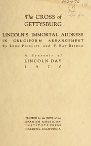
Search results from Open Library.
Recent natural events nearby
Ground air-quality sensors
Recently spotted species

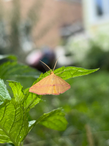

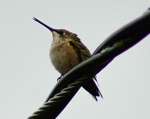

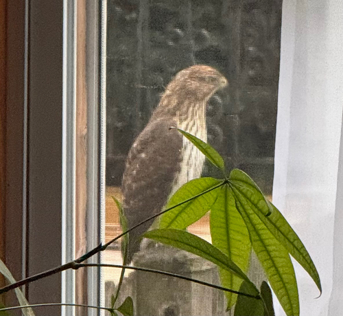

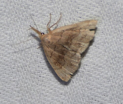

Research-grade observations from iNaturalist (within ~15 mi).
Nearest stream gauge
Events
Gallery
Sources
- • Wikipedia
- • US Census Bureau (ACS 5-year estimates)
- • Open-Meteo (ERA5 reanalysis)
- • NOAA National Weather Service
- • Wikidata
- • USGS Earthquake Catalog (global feed)
- • NCES via Urban Institute Education Data Portal
- • GBIF (Global Biodiversity Information Facility)
- • iNaturalist
- • CDC PLACES
- • Open-Meteo / sunrise-sunset.org
- • Wikipedia Pageviews API
- • Open Library