Browse / United States / Illinois / Cicero
Cicero
Illinoistown

Cicero
Total population
82,093
Median home value
$261,000
Bachelor's+
Median income
$65,523
Founded
1867
Demographic figures from US Census Bureau · ACS 5-year estimates. Overview below cites Wikipedia and may reference a different year.
- Beach Hazards Statement · ModerateBeach Hazards Statement issued September 21 at 10:04PM CDT until September 23 at 7:00PM CDT by NWS Chicago IL
Source: NOAA National Weather Service.
City facts
Facts from Wikidata (CC0).
Overview
Cicero is a town in Cook County, Illinois, United States. As of the 2020 census, the population was 85,268, making it the 11th-most populous municipality in Illinois. The town is named after Marcus Tullius Cicero, a Roman statesman and orator. With a population more than 89% Hispanic, the town is the most Hispanic in the state of Illinois.
Read more on WikipediaHistory & geography
History
Originally, Cicero Township occupied an area six times the size of its current territory. The cities of Oak Park and Berwyn were incorporated from portions of Cicero Township, and other portions, such as Austin, were annexed into the city of Chicago. By 1911, an aerodrome called the Cicero Flying Field had been established as the town's first aircraft facility of any type, located on a roughly square plot of land about per side, on then-open ground at by the Aero Club of Illinois, founded on February 10, 1910. Famous pilots like Hans-Joachim Buddecke, Lincoln Beachey, Chance M. Vought and others flew from there at various times during the "pioneer era" of aviation in the United States shortly before the nation's involvement in World War I; the field closed in mid-April 1916. After building his criminal empire in Chicago, Al Capone moved to Cicero to escape the reach of Chicago police. The 1924 Cicero municipal elections were particularly violent due to gang-related efforts to secure a favorable election result. On July 11–12, 1951, a race riot erupted in Cicero when a white mob of around 4,000 attacked and burned an apartment building at 6139 W. 19th Street that housed the African-American family of Harvey Clark Jr., a Chicago Transit Authority bus driver who had relocated to the all-white city. Governor Adlai E. Stevenson was forced to call out the Illinois National Guard. The Clarks moved away and the building had to be boarded up. The Cicero riot received worldwide condemnation. Cicero was taken up and abandoned several times as site for a civil rights march in the mid-1960s. Cicero had a sundown town policy prohibiting African Americans from living in the city. The American Friends Service Committee, Martin Luther King Jr., and many affiliated organizations,…
Geography
According to the 2021 census gazetteer files, Cicero has an area of , all land. Cicero formerly ran from Harlem Avenue to Western Avenue and Pershing Road to North Avenue, but Chicago annexed much of that area. Cicero is in the Hot-summer humid continental climate, or Köppen Dfa zone. The zone includes four distinct seasons. Winter is cold with snow. Spring warms up with precipitation and storms. Summer has high precipitation and storms. Fall cools down. {| |- | |}
Excerpted from the corresponding Wikipedia article (CC BY-SA).
Demographics & economy
Race & ethnicity
Source: US Census Bureau — American Community Survey, 5-year estimates.
Geography
Coordinates & boundaries from the US Census TIGER/Line shapefiles.
Climate
Current forecast
Forecast for Cicero, IL from NOAA NWS API.
Air quality
Industrial & pollution facilities
Natural hazard risk
Health (adults)
Age-adjusted prevalence estimates from CDC PLACES (latest release).
Walkability
Amenities nearby
Wildlife & biodiversity
Most-observed species
- American RobinTurdus migratorius Linnaeus, 1766 · Aves123,691
- House SparrowPasser domesticus (Linnaeus, 1758) · Aves119,674
- Northern CardinalCardinalis cardinalis (Linnaeus, 1758) · Aves108,280
- Canada Goose (canadensis Group)Branta canadensis (Linnaeus, 1758) · Aves96,258
- MallardAnas platyrhynchos Linnaeus, 1758 · Aves84,935
- Ring-billed GullLarus delawarensis Ord, 1815 · Aves81,989
- Black-capped ChickadeePoecile atricapillus (Linnaeus, 1766) · Aves72,245
- Red-winged BlackbirdAgelaius phoeniceus (Linnaeus, 1766) · Aves71,986
Citizen-science & research observations from the Global Biodiversity Information Facility (GBIF).
Schools
Largest nearby schools
- Lane Technical High SchoolHigh · Chicago · 4,496 students · 17.4:1 ratio
- Taft High SchoolHigh · Chicago · 4,464 students · 16.6:1 ratio
- Lyons Twp High SchHigh · La Grange · 3,842 students · 15:1 ratio
- J Sterling Morton West High SchHigh · Berwyn · 3,533 students · 17.2:1 ratio
- J Sterling Morton East High SchHigh · Cicero · 3,445 students · 20.4:1 ratio
- Oak Park & River Forest High SchHigh · Oak Park · 3,304 students · 14.1:1 ratio
- Curie Metropolitan High SchoolHigh · Chicago · 3,178 students · 16.5:1 ratio
- Kenwood Academy High SchoolHigh · Chicago · 2,338 students · 19.2:1 ratio
Public K–12 schools within ~10 mi from Urban Institute Education Data Portal (NCES Common Core of Data, 2022).
Earthquake history
Most recent
- M 2.9 — 2026-07-0821 km ENE of Kenilworth, Illinois
- M 3.1 — 2024-07-152 km WNW of Somonauk, Illinois
- M 2.9 — 2015-03-253 km WNW of Lake in the Hills, Illinois
- M 3.2 — 2013-11-041 km SSW of Lyons, Illinois
- M 2.6 — 2013-06-104 km NNE of Virgil, Illinois
- M 3.8 — 2010-02-102 km NW of Lily Lake, Illinois
Events from the USGS Earthquake Catalog (global) (FDSN Event Web Service).
Photos
Sights & places nearby
Notable people from here


People born within ~10 km, from Wikidata (CC0). Click any name for their Wikipedia article.
Nearby places in Illinois
- Lyons3.8 mi away · pop. 10,339
- Brookfield4.7 mi away · pop. 19,331
- Elmwood Park6.1 mi away · pop. 23,868
- La Grange6.5 mi away · pop. 15,998
- Melrose Park6.7 mi away · pop. 24,549
- Berkeley8.4 mi away · pop. 5,199
- Oak Lawn9 mi away · pop. 56,861
- Oak Brook10 mi away · pop. 8,056
- Palos Hills10.5 mi away
- Palos Heights12.7 mi away
- Palos Park12.8 mi away
- Blue Island13.5 mi away · pop. 21,741
Geography & sun
Elevation, sunrise/sunset and daylight from Open-Meteo. Solar climatology from NASA POWER.
Nearby airports
Public attention
Pageview totals from the Wikimedia Pageviews API.
Books about Cicero
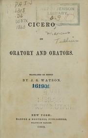

Search results from Open Library.
Recent natural events nearby
Ground air-quality sensors
Recently spotted species
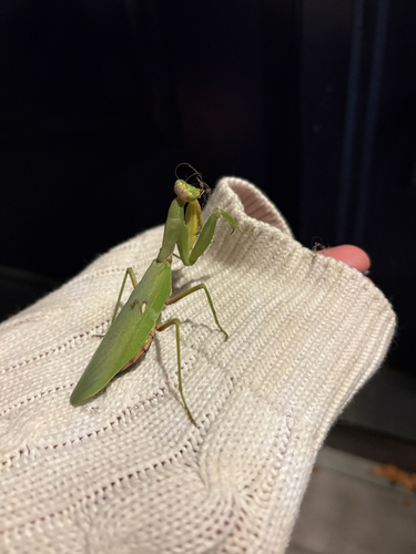
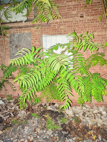
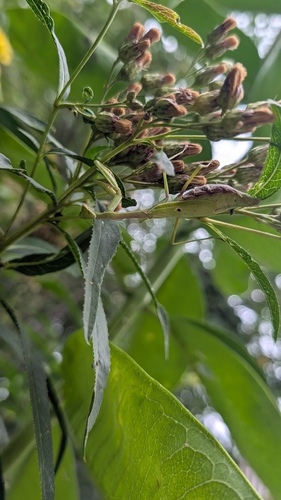
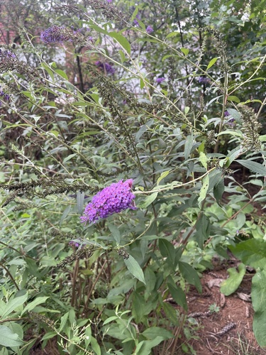
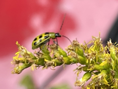
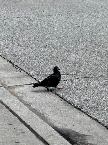
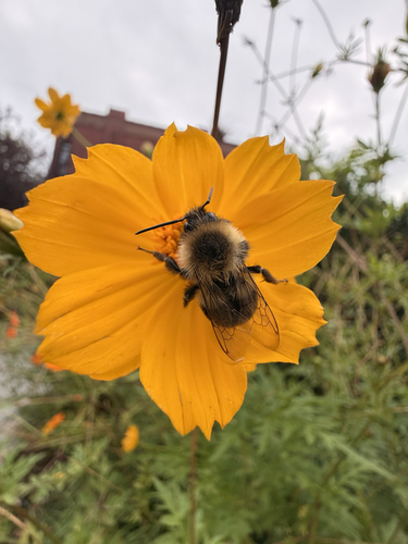
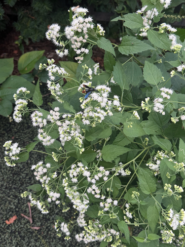
Research-grade observations from iNaturalist (within ~15 mi).
Nearest stream gauge
Live readings from USGS NWIS · measured 2026-09-21 21:00 UTC.
Events
Gallery
Sources
- • Wikipedia
- • US Census Bureau (ACS 5-year estimates)
- • NOAA National Weather Service
- • Wikidata
- • USGS Earthquake Catalog (global feed)
- • USGS NWIS (water data)
- • NCES via Urban Institute Education Data Portal
- • GBIF (Global Biodiversity Information Facility)
- • iNaturalist
- • CDC PLACES
- • Open-Meteo / sunrise-sunset.org
- • Wikipedia Pageviews API
- • Open Library