Browse / United States / Illinois / La Grange
La Grange
Illinoisvillage

La Grange
Total population
15,998
Median home value
$594,300
Bachelor's+
Median income
$159,929
Founded
1830
Demographic figures from US Census Bureau · ACS 5-year estimates. Overview below cites Wikipedia and may reference a different year.
- Flood Watch · SevereFlood Watch issued October 1 at 2:44PM CDT until October 1 at 10:00PM CDT by NWS Chicago IL
Source: NOAA National Weather Service.
City facts
Facts from Wikidata (CC0).
Overview
La Grange is a village in Cook County, Illinois, United States. It is a suburb of Chicago. The population was 16,321 at the 2020 census.
Read more on WikipediaHistory & geography
History
The area around La Grange was first settled in the 1830s, when Chicago residents moved out to the west due to the rapid population increase in the city in the decade since its incorporation. The first settler, Robert Leitch, came to the area in 1830, seven years before the City of Chicago was incorporated. La Grange's location, at approximately from the Chicago Loop, is not considered far from the city by today's standards, but at the time, the area was not yet well-connected to any major hubs. The village was officially incorporated on June 11, 1879. It was founded by Franklin Dwight Cossitt, who was born in Granby, Connecticut, and raised in Tennessee, and moved to Chicago in 1862 where he built a wholesale grocery business. In 1870, Cossitt purchased several hundred acres of farmland in Lyons Township, along the Chicago-Dixon Road, known today as Ogden Avenue (U.S. Highway 34). Ogden Avenue, on the site of a defunct Native American trail, was also referred to as the "Old Plank Road". Planks were often stolen by settlers to be used as building material, which made traveling very bumpy. When the Chicago, Burlington & Quincy Railroad came to town, La Grange was a milk stop called Hazel Glen. A few miles to the south, through present-day Willow Springs, the Illinois and Michigan Canal had emerged as a major shipping corridor, connecting Chicago and the Great Lakes with the Illinois and Mississippi rivers. Cossitt set out to build the ideal suburban village – laying out streets, planting trees, donating property for churches and schools, and building homes for sale between 2,000–8,000 US$. He also placed liquor restrictions in the land deeds he sold to prevent the village from becoming a saloon town. When Cossitt began his development, the area was served by a post…
Geography
La Grange is located at (41.807938, −87.873455), about west of Chicago. The village is roughly flat, only deviating from the elevation of 645 feet by at most ten feet. La Grange is surrounded by incorporated places of similar sizes on all sides except to the South West, where the La Grange Highlands are. As of 2020, La Grange has a total area of , all land. Two major railroad tracks run through the village, including the Burlington Northern Santa Fe, and the CSX/Indiana Harbor Belt lines. Some 14,000 years ago, the land under La Grange sat on the western shore of Lake Chicago, a predecessor to Lake Michigan. The prehistoric shoreline today is delineated by Bluff Avenue, a north–south street on the village's east side.
Excerpted from the corresponding Wikipedia article (CC BY-SA).
Demographics & economy
Race & ethnicity
Source: US Census Bureau — American Community Survey, 5-year estimates.
Geography
Coordinates & boundaries from the US Census TIGER/Line shapefiles.
Climate
Current forecast
Forecast for La Grange, IL from NOAA NWS API.
Air quality
Industrial & pollution facilities
Natural hazard risk
Health (adults)
Age-adjusted prevalence estimates from CDC PLACES (latest release).
Walkability
Amenities nearby
Wildlife & biodiversity
Most-observed species
- American RobinTurdus migratorius Linnaeus, 1766 · Aves91,669
- Northern CardinalCardinalis cardinalis (Linnaeus, 1758) · Aves80,811
- House SparrowPasser domesticus (Linnaeus, 1758) · Aves74,302
- Canada Goose (canadensis Group)Branta canadensis (Linnaeus, 1758) · Aves59,066
- American GoldfinchSpinus tristis (Linnaeus, 1758) · Aves55,179
- Downy WoodpeckerDryobates pubescens (Linnaeus, 1766) · Aves54,336
- Red-winged BlackbirdAgelaius phoeniceus (Linnaeus, 1766) · Aves52,527
- Black-capped ChickadeePoecile atricapillus (Linnaeus, 1766) · Aves52,332
Citizen-science & research observations from the Global Biodiversity Information Facility (GBIF).
Schools
Largest nearby schools
- Lyons Twp High SchHigh · La Grange · 3,842 students · 15:1 ratio
- J Sterling Morton West High SchHigh · Berwyn · 3,533 students · 17.2:1 ratio
- J Sterling Morton East High SchHigh · Cicero · 3,445 students · 20.4:1 ratio
- Oak Park & River Forest High SchHigh · Oak Park · 3,304 students · 14.1:1 ratio
- Curie Metropolitan High SchoolHigh · Chicago · 3,178 students · 16.5:1 ratio
- Amos Alonzo Stagg High SchoolHigh · Palos Hills · 2,538 students · 14.4:1 ratio
- Unity Jr High SchoolMiddle · Cicero · 2,054 students · 14.6:1 ratio
- Reavis High SchoolHigh · Burbank · 1,986 students · 17.6:1 ratio
Public K–12 schools within ~10 mi from Urban Institute Education Data Portal (NCES Common Core of Data, 2022).
Earthquake history
Most recent
- M 2.9 — 2026-07-0821 km ENE of Kenilworth, Illinois
- M 2.6 — 2025-03-156 km W of Dwight, Illinois
- M 3.1 — 2024-07-152 km WNW of Somonauk, Illinois
- M 2.9 — 2015-03-253 km WNW of Lake in the Hills, Illinois
- M 3.2 — 2013-11-041 km SSW of Lyons, Illinois
- M 2.6 — 2013-06-104 km NNE of Virgil, Illinois
Events from the USGS Earthquake Catalog (global) (FDSN Event Web Service).
Photos
Sights & places nearby
Notable people from here


People born within ~10 km, from Wikidata (CC0). Click any name for their Wikipedia article.
Nearby places in Illinois
- Brookfield1.8 mi away · pop. 19,331
- Lyons2.9 mi away · pop. 10,339
- Oak Brook4.5 mi away · pop. 8,056
- Berkeley6 mi away · pop. 5,199
- Cicero6.5 mi away · pop. 82,093
- Melrose Park6.6 mi away · pop. 24,549
- Palos Hills7.8 mi away
- Oak Lawn9 mi away · pop. 56,861
- Palos Park10 mi away
- Glen Ellyn10.5 mi away · pop. 28,390
- Palos Heights10.7 mi away
- Addison11 mi away · pop. 35,489
Geography & sun
Elevation, sunrise/sunset and daylight from Open-Meteo. Solar climatology from NASA POWER.
Nearby airports
Public attention
Pageview totals from the Wikimedia Pageviews API.
Books about La Grange


Search results from Open Library.
Recent natural events nearby
Ground air-quality sensors
Recently spotted species
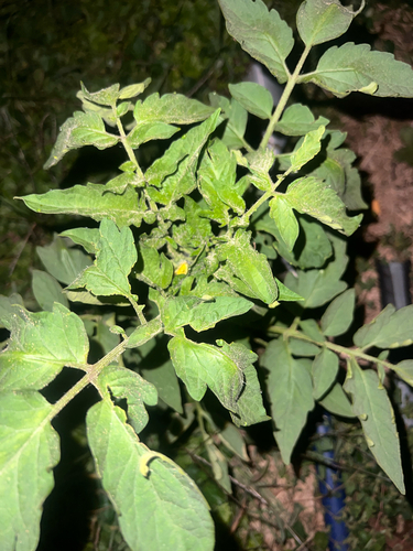
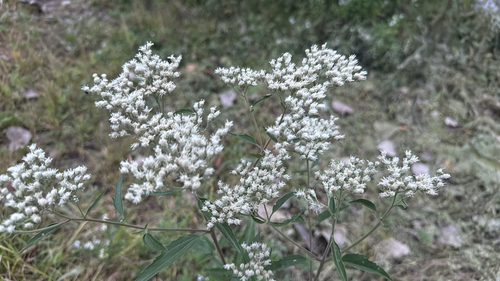
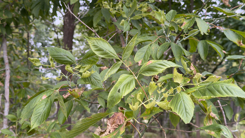
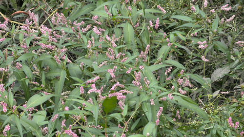
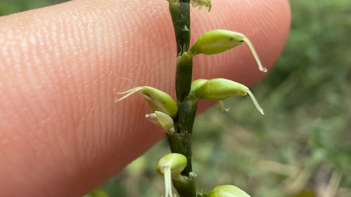
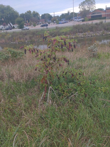
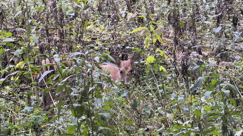
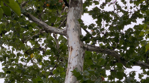
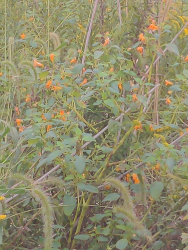
Research-grade observations from iNaturalist (within ~15 mi).
Nearest stream gauge
Live readings from USGS NWIS · measured 2026-09-21 21:50 UTC.
Events
Gallery
Sources
- • Wikipedia
- • US Census Bureau (ACS 5-year estimates)
- • NOAA National Weather Service
- • Wikidata
- • USGS Earthquake Catalog (global feed)
- • USGS NWIS (water data)
- • NCES via Urban Institute Education Data Portal
- • GBIF (Global Biodiversity Information Facility)
- • iNaturalist
- • CDC PLACES
- • Open-Meteo / sunrise-sunset.org
- • Wikipedia Pageviews API
- • Open Library