Browse / United States / Illinois / Breese
Breese
Illinoiscity

Breese
Total population
4,301
Median home value
$229,600
Bachelor's+
Median income
$85,222
Founded
1856
Demographic figures from US Census Bureau · ACS 5-year estimates. Overview below cites Wikipedia and may reference a different year.
City facts
Facts from Wikidata (CC0).
Overview
Breese is a city in Clinton County, Illinois, United States. Breese is the most populous city completely within Clinton County. As of the 2020 census, the population was 4,641, the majority of whom are of German ancestry. Breese is part of the Metro-East region of the Greater St. Louis metropolitan area.
Read more on WikipediaHistory & geography
History
The town is named after Sidney Breese, a United States Senator and a contemporary of President Abraham Lincoln. Breese was founded in 1855. Even though the area around Breese, Illinois, was first settled in 1816, it was not until 1835 that Germans came to the town to farm because of the flat, fertile land there. Twenty years after the Germans' first immigration, the Mississippi and Ohio Railroad was completed. The early pioneers were enthralled by the thought of transportation by railroad. The Chicago-based company Sanger Kamp & Co. bought 80 acres of land near the railroad. Twenty-four acres were laid out with the railroad splitting the original town, with some acres on the north side and some on the south side, creating Breese Township, February 3, 1855. Late in 1855, forty Catholic immigrants, wanting to fulfill their religious needs, had the idea of constructing a church. Their desires were realized when two years later, the Sanger Kamp & Co. gave half of one of its to the Catholics’ project. By December 1869, St. Dominic's Catholic Church was completed. Breese was first recognized as a town on April 11, 1871, and later became a village on September 23, 1876. As a result, the construction of the village hall had begun. This project was completed in 1885. Seven years later, a volunteer fire department was organized. The ever-growing population was then acknowledged as a city on January 19, 1905. The mayor of this new city was Henry Hummert. Realizing that Breese would need some improvements, the mayor authorized the construction of an electric light plant that was completed in 1906. The streets of Breese were also topped with road oil in 1911. The next year, improvements to the city's water works facility were also made. However, things took a turn for the…
Geography
According to the 2021 census gazetteer files, Breese has a total area of , of which (or 99.07%) is land and (or 0.93%) is water. Breese is located on U.S. Route 50, east of St. Louis, Missouri.
Excerpted from the corresponding Wikipedia article (CC BY-SA).
Demographics & economy
Race & ethnicity
Source: US Census Bureau — American Community Survey, 5-year estimates.
Geography
Coordinates & boundaries from the US Census TIGER/Line shapefiles.
Climate
Current forecast
Forecast for Breese, IL from NOAA NWS API.
Air quality
Industrial & pollution facilities
Natural hazard risk
Health (adults)
Age-adjusted prevalence estimates from CDC PLACES (latest release).
Walkability
Amenities nearby
Wildlife & biodiversity
Most-observed species
- Northern CardinalCardinalis cardinalis (Linnaeus, 1758) · Aves2,981
- Ring-billed GullLarus delawarensis Ord, 1815 · Aves2,446
- Great Blue/Cocoi HeronArdea herodias Linnaeus, 1758 · Aves2,325
- Red-bellied WoodpeckerMelanerpes carolinus (Linnaeus, 1758) · Aves2,170
- American CrowCorvus brachyrhynchos C.L.Brehm, 1822 · Aves2,069
- Mourning DoveZenaida macroura (Linnaeus, 1758) · Aves2,025
- Double-crested CormorantPhalacrocorax auritus (Lesson, 1831) · Aves1,984
- Tufted TitmouseBaeolophus bicolor (Linnaeus, 1766) · Aves1,929
Citizen-science & research observations from the Global Biodiversity Information Facility (GBIF).
Schools
Largest nearby schools
- Central Comm High SchoolHigh · Breese · 620 students · 15.9:1 ratio
- Wesclin Middle SchoolMiddle · Trenton · 475 students · 13.6:1 ratio
- Aviston Elem SchoolElementary · Aviston · 429 students · 18.7:1 ratio
- Breese Elem SchoolMiddle · Breese · 420 students · 18.3:1 ratio
- Carlyle Elementary SchoolElementary · Carlyle · 384 students · 14.2:1 ratio
- Wesclin Sr High SchoolHigh · Trenton · 373 students · 14.9:1 ratio
- Carlyle Junior High SchoolMiddle · Carlyle · 296 students · 14.1:1 ratio
- Carlyle High SchoolHigh · Carlyle · 282 students · 10.1:1 ratio
Public K–12 schools within ~10 mi from Urban Institute Education Data Portal (NCES Common Core of Data, 2022).
Earthquake history
Photos
Sights & places nearby
Notable people from here


People born within ~10 km, from Wikidata (CC0). Click any name for their Wikipedia article.
Nearby places in Illinois
Geography & sun
Elevation, sunrise/sunset and daylight from Open-Meteo. Solar climatology from NASA POWER.
Nearby airports
Public attention
Pageview totals from the Wikimedia Pageviews API.
Books about Breese
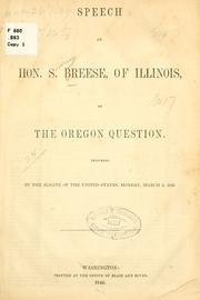
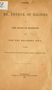
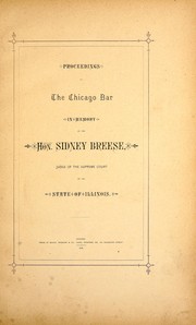
Search results from Open Library.
Recent natural events nearby
Ground air-quality sensors
Recently spotted species
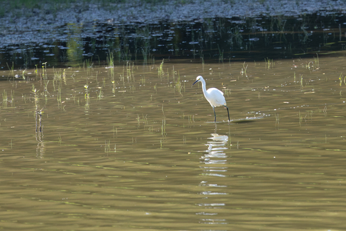
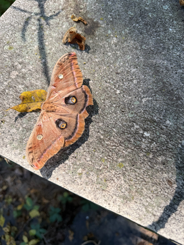
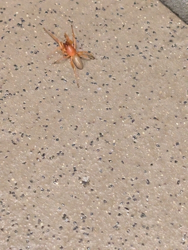
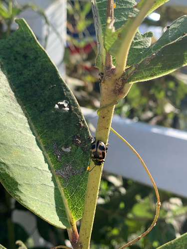
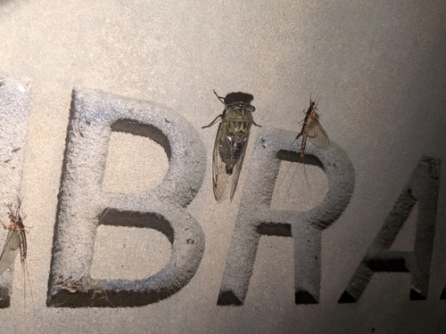
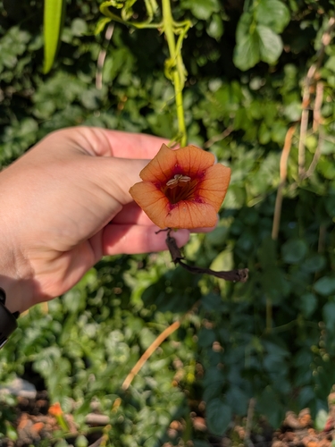
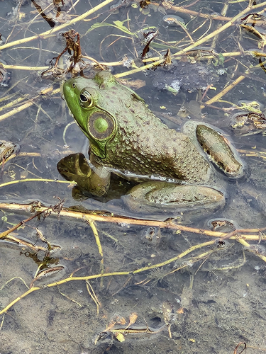
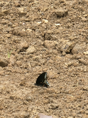
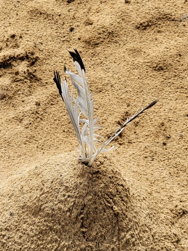
Research-grade observations from iNaturalist (within ~15 mi).
Nearest stream gauge
Live readings from USGS NWIS · measured 2026-09-21 02:30 UTC.
Events
Gallery
Sources
- • Wikipedia
- • US Census Bureau (ACS 5-year estimates)
- • NOAA National Weather Service
- • Wikidata
- • USGS NWIS (water data)
- • NCES via Urban Institute Education Data Portal
- • GBIF (Global Biodiversity Information Facility)
- • iNaturalist
- • CDC PLACES
- • Open-Meteo / sunrise-sunset.org
- • Wikipedia Pageviews API
- • Open Library