Browse / United States / Illinois / Centralia
Centralia
Illinoiscity

Centralia
Total population
11,856
Median home value
$89,600
Bachelor's+
Median income
$47,807
Founded
1853
Air quality index
Demographic figures from US Census Bureau · ACS 5-year estimates. Overview below cites Wikipedia and may reference a different year.
- Heat Advisory · ModerateHeat Advisory issued September 17 at 2:19AM CDT until September 19 at 8:00PM CDT by NWS St Louis MO
Source: NOAA National Weather Service.
City facts
Facts from Wikidata (CC0).
Overview
Centralia is a city in Clinton, Jefferson, Marion, and Washington counties in the U.S. state of Illinois with the largest portion in Marion County. The city is the largest in three counties, Clinton, Marion, and Washington, but it is not a county seat for any of them. The population was 12,182 as of the 2020 census, down from 13,032 in 2010.
Read more on WikipediaHistory & geography
History
Centralia is named for the Illinois Central Railroad, built in 1853. The city was founded where the two original branches of the railroad converged. Centralia was first chartered as a city in 1859. The original monument is at the junction of Highway 51 and the Marion-Jefferson County Line Road; today there is a small easement situated in the northeast corner of this intersection, which contains a monument and historical marker. Many Germans settled on the north side of town and Italians on the south side of town. A broad red stripe through the center of the flag represents the railroads to which the city owes its existence. A gold star above and below the stripe signifies the area's mining and agricultural industries. Lastly, a triangle pyramid with a sphinx head design is symbolic of Egypt, a tribute to Southern Illinois’ nickname, “Little Egypt”. The Centralia mine disaster occurred in 1947 when the nearby Centralia No. 5 coal mine exploded, killing 111 people. The disaster was memorialized in folk singer Woody Guthrie's song "The Dying Miner".
Geography
Centralia is located approximately east of St. Louis, Missouri. Most of the city, including its downtown, is in southwestern Marion County, but the city extends west into Clinton County and south into Washington and Jefferson counties. The city is north of exit 61 of Interstate 64 and west of exit 109 of Interstate 57. Centralia is one of three Illinois cities with portions in four counties, the others being Barrington Hills and Aurora. Because of its unique location within multiple counties, portions of Centralia are associated with different Core Based Statistical Areas (CBSAs). The Centralia Micropolitan Statistical Area includes all of Marion County. The Clinton County portion of the city is considered part of the St. Louis, MO–IL Metropolitan Statistical Area, while the Jefferson County portion lies within the Mt. Vernon Micropolitan Statistical Area. The portion of Centralia in Washington County is not considered part of any metropolitan or micropolitan area. According to the 2021 census gazetteer files, Centralia has a total area of , of which (or 88.81%) is land and (or 11.19%) is water.
Excerpted from the corresponding Wikipedia article (CC BY-SA).
Demographics & economy
Race & ethnicity
Source: US Census Bureau — American Community Survey, 5-year estimates.
Geography
Coordinates & boundaries from the US Census TIGER/Line shapefiles.
Climate
Current forecast
Forecast for Centralia, IL from NOAA NWS API.
Air quality
Current readings from Open-Meteo Air Quality API (Copernicus CAMS European reanalysis).
Industrial & pollution facilities
Natural hazard risk
Health (adults)
Age-adjusted prevalence estimates from CDC PLACES (latest release).
Walkability
Amenities nearby
Wildlife & biodiversity
Most-observed species
- Northern CardinalCardinalis cardinalis (Linnaeus, 1758) · Aves3,228
- American CrowCorvus brachyrhynchos C.L.Brehm, 1822 · Aves2,301
- Red-bellied WoodpeckerMelanerpes carolinus (Linnaeus, 1758) · Aves2,256
- Carolina ChickadeePoecile carolinensis (Audubon, 1834) · Aves2,181
- Tufted TitmouseBaeolophus bicolor (Linnaeus, 1766) · Aves2,154
- Great Blue/Cocoi HeronArdea herodias Linnaeus, 1758 · Aves2,032
- Downy WoodpeckerDryobates pubescens (Linnaeus, 1766) · Aves1,912
- Blue JayCyanocitta cristata (Linnaeus, 1758) · Aves1,869
Citizen-science & research observations from the Global Biodiversity Information Facility (GBIF).
Schools
Largest nearby schools
- Centralia High SchoolHigh · Centralia · 863 students · 12.9:1 ratio
- Centralia Jr High SchoolMiddle · Centralia · 604 students · 13.4:1 ratio
- Central City Elem SchoolElementary · Centralia · 323 students · 14:1 ratio
- Selmaville Elem SchoolElementary · Salem · 239 students · 14.1:1 ratio
- Raccoon Cons Elem SchoolElementary · Centralia · 225 students · 13.2:1 ratio
- Jordan Elem SchoolElementary · Centralia · 221 students · 11.6:1 ratio
- Sandoval Elem SchoolElementary · Sandoval · 203 students · 14.5:1 ratio
- Odin Attendance Center K-8Elementary · Odin · 178 students · 11.1:1 ratio
Public K–12 schools within ~10 mi from Urban Institute Education Data Portal (NCES Common Core of Data, 2022).
Earthquake history
Photos
Sights & places nearby
Notable people from here


People born within ~10 km, from Wikidata (CC0). Click any name for their Wikipedia article.
Nearby places in Illinois
- Patoka16.1 mi away
- Keyesport17.5 mi away
- Nashville18 mi away
- Mount Vernon18.2 mi away · pop. 14,090
- Breese22.5 mi away · pop. 4,301
- Kinmundy22.6 mi away · pop. 803
- Germantown22.7 mi away
- Okawville23.7 mi away
- Nason25.4 mi away · pop. 203
- Damiansville26.6 mi away
- Mulberry Grove28.8 mi away · pop. 765
- Greenville29 mi away · pop. 7,235
Geography & sun
Elevation, sunrise/sunset and daylight from Open-Meteo. Solar climatology from NASA POWER.
Nearby airports
Public attention
Pageview totals from the Wikimedia Pageviews API.
Books about Centralia



Search results from Open Library.
Recent natural events nearby
Ground air-quality sensors
Recently spotted species
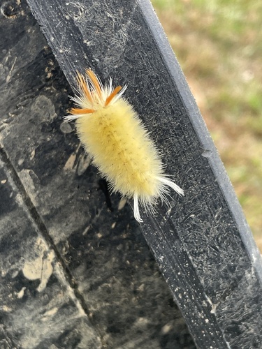
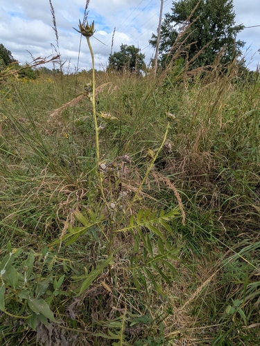
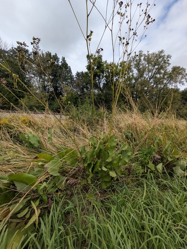
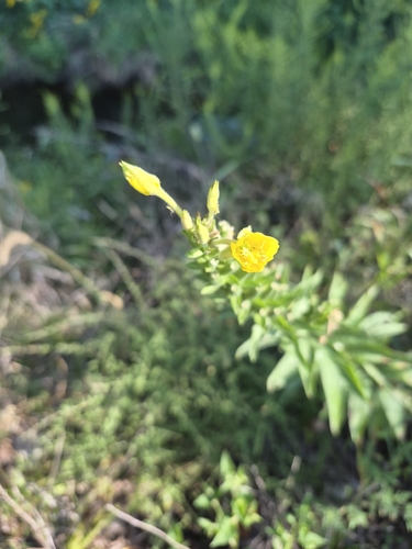
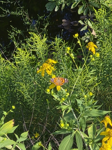
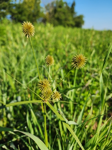
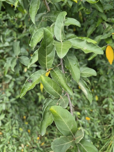
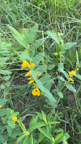
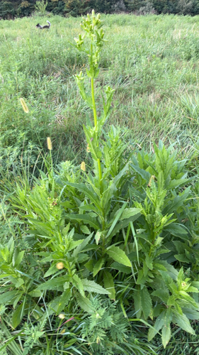
Research-grade observations from iNaturalist (within ~15 mi).
Nearest stream gauge
Events
Gallery
Sources
- • Wikipedia
- • US Census Bureau (ACS 5-year estimates)
- • NOAA National Weather Service
- • Wikidata
- • Open-Meteo Air Quality (CAMS)
- • NCES via Urban Institute Education Data Portal
- • GBIF (Global Biodiversity Information Facility)
- • iNaturalist
- • CDC PLACES
- • Open-Meteo / sunrise-sunset.org
- • Wikipedia Pageviews API
- • Open Library