Browse / United States / Illinois / Mount Vernon
Mount Vernon
Illinoiscity

Mount Vernon
Total population
14,090
Median home value
$99,800
Bachelor's+
Median income
$55,357
Demographic figures from US Census Bureau · ACS 5-year estimates. Overview below cites Wikipedia and may reference a different year.
City facts
Overview
Mount Vernon is a city in Jefferson County, Illinois, United States, and its county seat. The population was 14,600 at the 2020 census. Mount Vernon is the principal city of the Mount Vernon, Illinois micropolitan area, which includes all of Jefferson and Hamilton counties.
Read more on WikipediaHistory & geography
History
Mt. Vernon was founded in 1817 by Zadok Casey, who was elected to the State Senate in 1822 and was elected lieutenant governor in 1833. He served in the U.S. Congress between 1833 and 1843. When the town was founded, there was no road to it. Travelers had to get there by either following the high ground from the north or crossing the swamps from the south. In the early 19th century the Goshen Road crossed Illinois in a northwesterly direction from Old Shawneetown, Illinois to the Goshen Settlement, near what is now Edwardsville. This road was the main road in Illinois. When Mt. Vernon was first settled, the Goshen Road made a wide arc across Jefferson County, crossing Casey Creek and the Big Muddy north of Mt. Vernon, avoiding the swamps to the south, but bypassing Mt. Vernon. The road entered the county at its southeast corner. It passed through, or near, what are now Opdyke, East Salem, Idlewood, Dix and Walnut Hill. However, it was apparent to the early settlers that the town would fail without roads. In 1820–1821, Ben Hood and Carter Wilkey built a bridge over Casey Creek, to the southeast of town. This bridge was near the present bridge on Illinois Route 142. A road was built from there northwest, over ground that is now impassable, toward the old cemetery behind the modern Bethel Cemetery. Deep cuts through the old cemetery attest to the location of the road. From there the road probably followed modern Route 37 into town, somewhere shifting from 10th Street on west to 12th Street. After the state capital was moved to Vandalia in 1819, it became apparent that a road to Vandalia was needed. A party was sent out to the northwest to mark the road. In 1823, Thomas D. Minor and William Maxwell built the "Vandalia Road", now called the "Old Centralia Road." It runs…
Geography
According to the 2010 census, Mount Vernon has a total area of , of which (or 99.38%) is land and (or 0.62%) is water. The community is about east of St. Louis, Missouri. Mt. Vernon is located on high ground between Casey Creek and the Big Muddy River, which join south of the town in what is now Rend Lake. In pre-settlement times the area around these waterways was a swamp, a heavily forested area that was waist-deep in water during much of the winter and during wet summers. Mt. Vernon was thus often surrounded by water and swamp on three sides. High ground was located to the north of Mt. Vernon. A ridge ran between the Big Muddy River and Casey Creek north toward what is now Dix. There are high places both west and east of Mt. Vernon from which one can see the town as a forested point of high ground jutting out into the bottoms. These high places are: from the west, near the Woodlawn interchange off Interstate 64 and from the east, on Old Fairfield Road near Summersville School, with the highest point located on Old Route 15 right before it merges with New Route 15, near Bluford.
Excerpted from the corresponding Wikipedia article (CC BY-SA).
Demographics & economy
Race & ethnicity
Source: US Census Bureau — American Community Survey, 5-year estimates.
Geography
Coordinates & boundaries from the US Census TIGER/Line shapefiles.
Climate
Current forecast
Forecast for Mount Vernon, IL from NOAA NWS API.
Air quality
Industrial & pollution facilities
Natural hazard risk
Health (adults)
Walkability
Amenities nearby
Wildlife & biodiversity
Most-observed species
- Northern CardinalCardinalis cardinalis (Linnaeus, 1758) · Aves1,035
- Mourning DoveZenaida macroura (Linnaeus, 1758) · Aves804
- American CrowCorvus brachyrhynchos C.L.Brehm, 1822 · Aves756
- Red-winged BlackbirdAgelaius phoeniceus (Linnaeus, 1766) · Aves727
- Carolina ChickadeePoecile carolinensis (Audubon, 1834) · Aves674
- Turkey VultureCathartes aura (Linnaeus, 1758) · Aves673
- Blue JayCyanocitta cristata (Linnaeus, 1758) · Aves649
- European StarlingSturnus vulgaris Linnaeus, 1758 · Aves599
Citizen-science & research observations from the Global Biodiversity Information Facility (GBIF).
Schools
Earthquake history
Photos
Sights & places nearby
Notable people from here
Nearby places in Illinois
- Nason9.9 mi away
- Belle Rive11.2 mi away
- Dahlgren15 mi away · pop. 595
- Centralia18.2 mi away · pop. 11,856
- Belle Prairie City20.6 mi away
- Benton20.8 mi away · pop. 6,863
- Macedonia21.4 mi away
- Christopher24.8 mi away · pop. 2,570
- Nashville25.1 mi away
- Hanaford25.2 mi away
- Mulkeytown25.7 mi away
- Du Quoin27.6 mi away
Geography & sun
Elevation, sunrise/sunset and daylight from Open-Meteo. Solar climatology from NASA POWER.
Nearby airports
Public attention
Pageview totals from the Wikimedia Pageviews API.
Books about Mount Vernon

Search results from Open Library.
Recent natural events nearby
Ground air-quality sensors
Recently spotted species
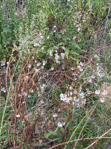

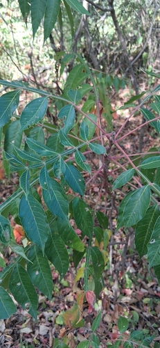
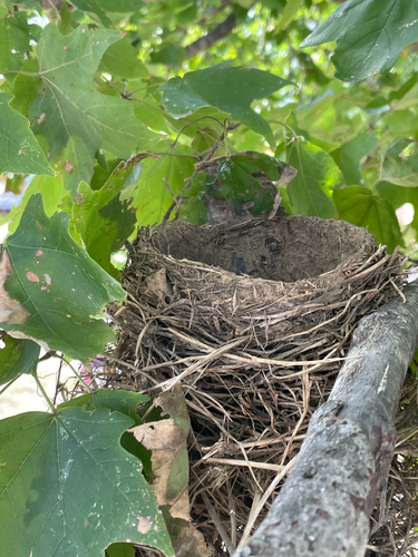
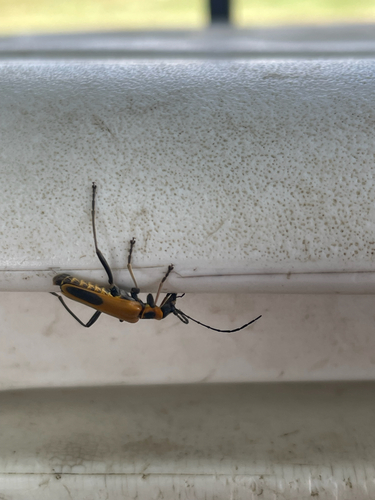
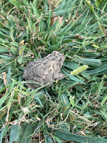


Research-grade observations from iNaturalist (within ~15 mi).
Nearest stream gauge
Events
Gallery
Sources
- • Wikipedia
- • US Census Bureau (ACS 5-year estimates)
- • NOAA National Weather Service
- • GBIF (Global Biodiversity Information Facility)
- • iNaturalist
- • Open-Meteo / sunrise-sunset.org
- • Wikipedia Pageviews API
- • Open Library