Browse / United States / Illinois / Cornell
Cornell
Illinoisvillage

Cornell
Total population
389
Median home value
$92,200
Bachelor's+
Median income
$68,750
Founded
1871
Demographic figures from US Census Bureau · ACS 5-year estimates. Overview below cites Wikipedia and may reference a different year.
City facts
Facts from Wikidata (CC0).
Overview
Cornell is a village in Livingston County, Illinois, United States. The population was 446 at the 2020 census.
Read more on WikipediaHistory & geography
History
The modern town of Cornell is a blending of two towns founded at almost the same time. Both were attempting to attract a station on the new Fairbury Pontiac and Northwestern Railroad, which eventually became part of the Wabash Railroad. The town of Cornell was laid out by Walter P. Cornell (April 3, 1811 – May 5, 1889) on June 15, 1871. The adjoining town of Amity was laid out two days later by Willard D. Blake (February 5, 1840 – June 1, 1875). Walter Cornell was born in Rhode Island, came to Illinois in 1837, served three years as County Treasurer, and was a director of the railroad. Blake was a farmer born in LaSalle County, Illinois, who died at the age of 35. Ironically, while the name Cornell was kept by the new town, most of the early businesses were in the Amity part of the plat. Indeed, several early houses built in Cornell were soon moved a few blocks down to the Amity part of the town. Cornell was officially organized as a town in 1873. Years ago the town had several grocery stores, a bank, four churches, a stockyard, a harness shop and a newspaper, the Cornell Journal.
Geography
Cornell is located in northwestern Livingston County in the northeastern part of Amity Township. Illinois Route 23 passes through the village, leading northwest to Streator and southeast to Pontiac, the Livingston county seat. According to the 2021 census gazetteer files, Cornell has a total area of , all land.
Excerpted from the corresponding Wikipedia article (CC BY-SA).
Demographics & economy
Race & ethnicity
Source: US Census Bureau — American Community Survey, 5-year estimates.
Geography
Coordinates & boundaries from the US Census TIGER/Line shapefiles.
Climate
Current forecast
Forecast for Cornell, IL from NOAA NWS API.
Air quality
Industrial & pollution facilities
Natural hazard risk
Health (adults)
Age-adjusted prevalence estimates from CDC PLACES (latest release).
Walkability
Amenities nearby
Wildlife & biodiversity
Schools
Largest nearby schools
- Pontiac High SchoolHigh · Pontiac · 693 students · 13.3:1 ratio
- Central Elem SchoolElementary · Pontiac · 346 students · 13.3:1 ratio
- Pontiac Jr High SchoolMiddle · Pontiac · 340 students · 11.7:1 ratio
- Woodland Elementary/Jr High SchElementary · Streator · 299 students · 10.3:1 ratio
- Lincoln Elementary SchoolElementary · Pontiac · 217 students · 10.8:1 ratio
- Washington Elem SchoolElementary · Pontiac · 205 students · 10.8:1 ratio
- Woodland High SchoolHigh · Streator · 144 students · 10.3:1 ratio
- Cornell Elem SchoolElementary · Cornell · 95 students · 8.6:1 ratio
Public K–12 schools within ~10 mi from Urban Institute Education Data Portal (NCES Common Core of Data, 2022).
Earthquake history
Photos
Sights & places nearby
Notable people from here
Nearby places in Illinois
Geography & sun
Elevation, sunrise/sunset and daylight from Open-Meteo. Solar climatology from NASA POWER.
Nearby airports
Public attention
Pageview totals from the Wikimedia Pageviews API.
Books about Cornell

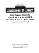
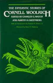
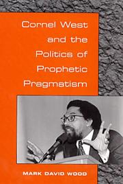

Search results from Open Library.
Recent natural events nearby
Ground air-quality sensors
Recently spotted species
Nearest stream gauge
Events
Gallery
Sources
- • Wikipedia
- • US Census Bureau (ACS 5-year estimates)
- • NOAA National Weather Service
- • Wikidata
- • NCES via Urban Institute Education Data Portal
- • CDC PLACES
- • Open-Meteo / sunrise-sunset.org
- • Wikipedia Pageviews API
- • Open Library